|
T+29 (June 27, 2020) Navigation Report: Start point: Shenandoah tent site (mile 1430.6) Destination: Morgan Stewart shelter (mile 1440.8) Travel Log: 10:40 Break Camp 11:25-11:50 Ralph's Peak Hikers' Shelter (mile 1431.8) 12:05 Taconic State Parkway (mile 1432.1) 1:40 Horner Mountain view (mile 1433.7) **Got turned around** 2:45 Ralph's Peak Hiker's Shelter (mile 1431.8) 5:55 NY Route 52 (mile 1436.9) 6:10 Mountaintop Deli (off trail @ 1436.9) Daily Mileage: 6.3 Total Mileage: 282.6 Commander’s Report: So, today was one of THOSE days! Everything started well enough. I was awake and moving around 5:30. Breakfast was done early, too. I even had pretty good cell service, so I uploaded two blog posts. It wasn't until I started getting ready to leave that thing s started downhill. You see, a couple of places on my bag have pinpoint type holes through the bag. I have been meaning to cover these up with patching to minimize water intrusion. You can see where this is going, right? That's right, it was supposed to rain later and I FINALLY remembered to apply the patching. 6 locations had the plastic repair tape applied. This required me to completely unpack and repack. Not ideal... Hell, by the time I was leaving the rain was just starting. It was just a delicate sprinkle, so while it could have been worse, but I was hoping to be well on my way by the time the rain started up. Hiking wasn't much better for me today. The larger miles completed yesterday left my ankles quite sore, so there was a good bit extra hobbling around mixed into my gait today. First attraction of the day is the shelter I had hoped to stay at last night - Ralph's Peak Hikers' shelter. It's an interesting place. 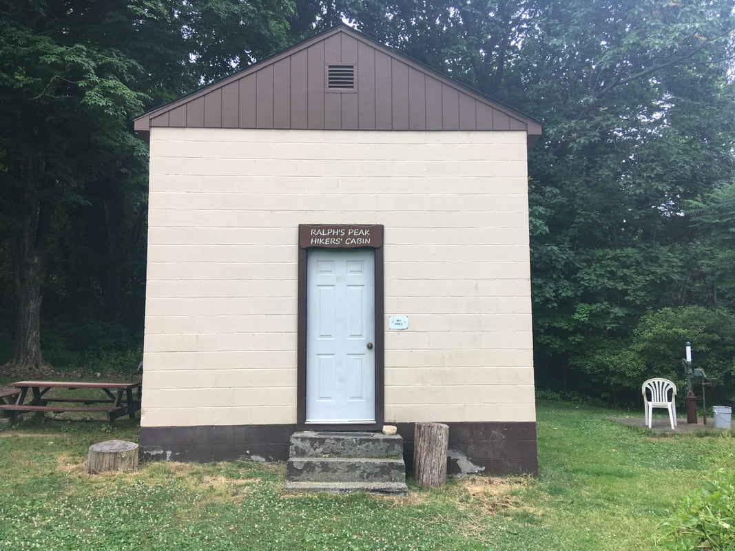 Ralph’s Peak Hiking Shelter It has a well manicured lawn, some plantings, and a non-functional well. The caretakers bring gallon water jugs for hikers to use for refilling their bottles. This is crucial as there is a dearth of good water options around here during dry spells (like now). 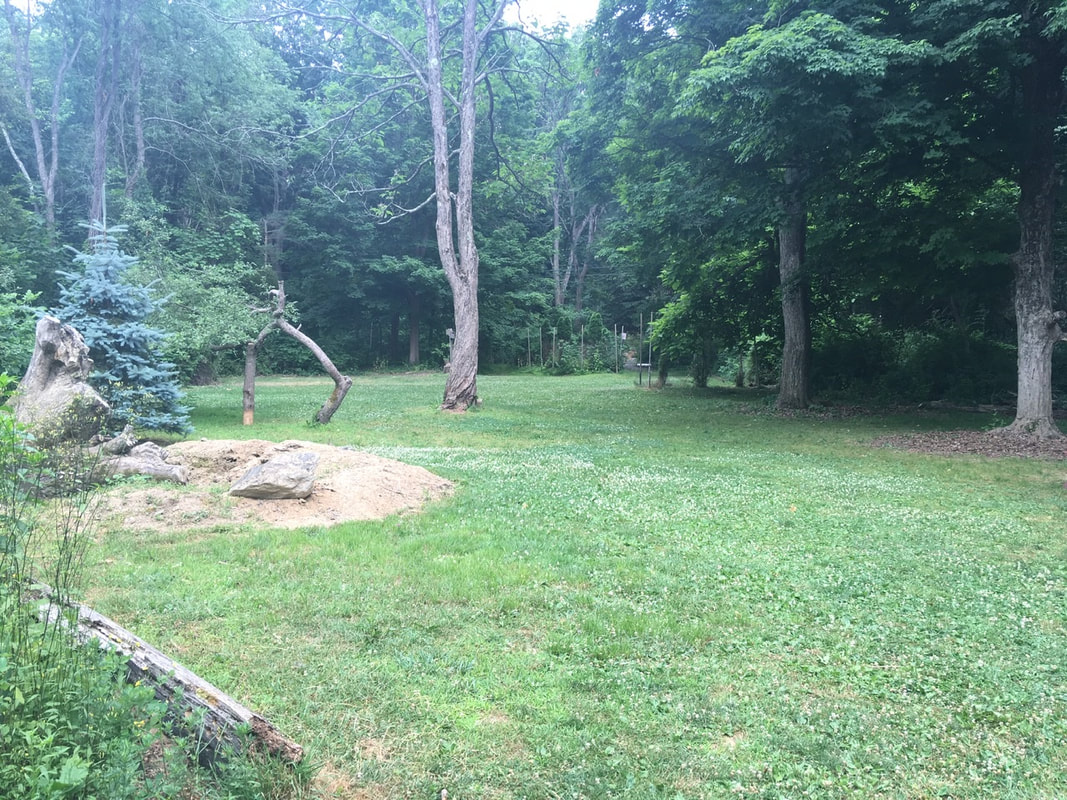 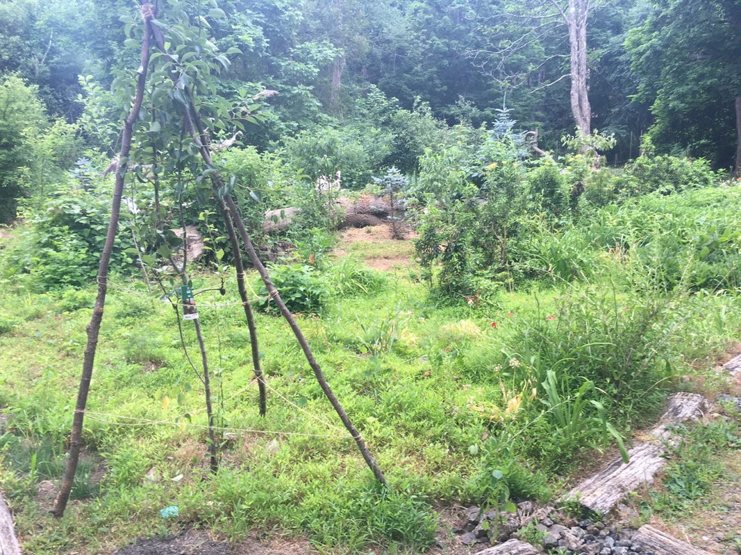 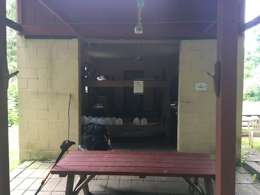 After RPH shelter, the trail goes underneath Taconic State Pkwy. Compared to playing Frogger, I'll take this every day. North of Taconic State Parkway, the trail runs along a ridge and has several viewpoints. In spite of the weather I caught some pics of the views from up here.    After the views, the trail drops down, and eventually crosses Hosner Mountain Road. It was somewhere in here that my day really took a turn for the worse. The instigating event was the rain going from a pleasant, if annoying, soaking rain to a deluge almost instantly. Let me explain my rain system. I do one of three things for rain: 1) nothing; 2) move various things I normally keep on the outside of my pack to the inside; 3) put everything sensitive, including my phone, inside my pack. The deluge forced me to move from 2 to 3 as quick as possible in the rain. I introduced some moisture to the inside of my pack, but it wasn't too bad. The problem lay in WHERE all this took place. It just so happened that it started raining when I had come upon a poorly blazed series of switchbacks when I was already uncertain of my direction. So, when I went to get back to hiking, I ended up picking the wrong direction. At the location I stopped, I should have been going down toward the road. So, having forgotten how I came to this juncture, I chose the path heading down. Unfortunately, this lead back where I came from. With the rain coming down hard, my head covered, and phone securely in my pack, I proceeded to walk...and walk...and walk. I walked for a bit over an hour and ended up...at RPH shelter. Funny thing is that I never noticed I was retracing my steps. The trail always looks very different when traversed in opposite directions. Add in the rain and my head being covered, and you have a recipe for disaster. Which is what I got. By all rights, I should have realized my mistake when I crossed under the Taconic State Parkway again, but I was also supposed to cross I-84 today. I assumed the highway I was crossing was I-84. So, there I was at the same place I started 3 hours before, only more fatigued and facing the prospect of night hiking to make the mileage I had intended. I mentally nixed the idea of night hiking, but did want to make it to the Mountaintop Deli 5.1 miles north. Not only is there food involved, but they also provide an outlet for recharging and water (which is no longer in short supply, but is currently tainted with loads of runoff. Well, 3.5 hours later and I made it to the deli. My battery pack was very low owing to the amount of catch up blogging I had been doing, so it took until 8PM to get mostly charged. I also used their hose to clean my feet, legs, and socks. I wore my camp shoes (Crocs) around while waiting. This allowed my feet to dry out a bit, which was a very welcome releif. Oh, and the sub was quite tasty. From the Deli, I had two sleeping options: 1) a site about a mile north, or 2) a tiny stealth site right where the trail meets Route 52. I was sick of today, so I chose the later. In all, about 12 miles of hiking for a bit over 6 miles of actual gain. Oh well, try not to fuck things up in the future, I suppose!
0 Comments
Leave a Reply. |
About Me
Archives
July 2020
Categories |
 RSS Feed