|
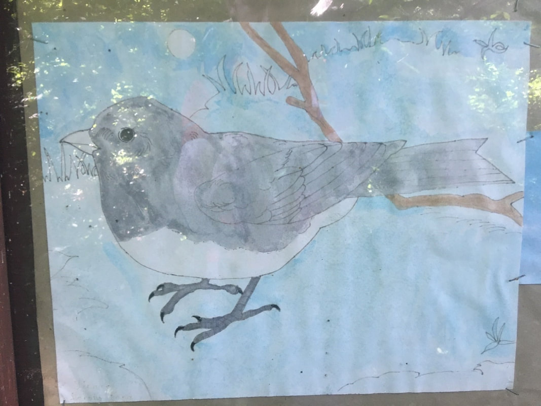
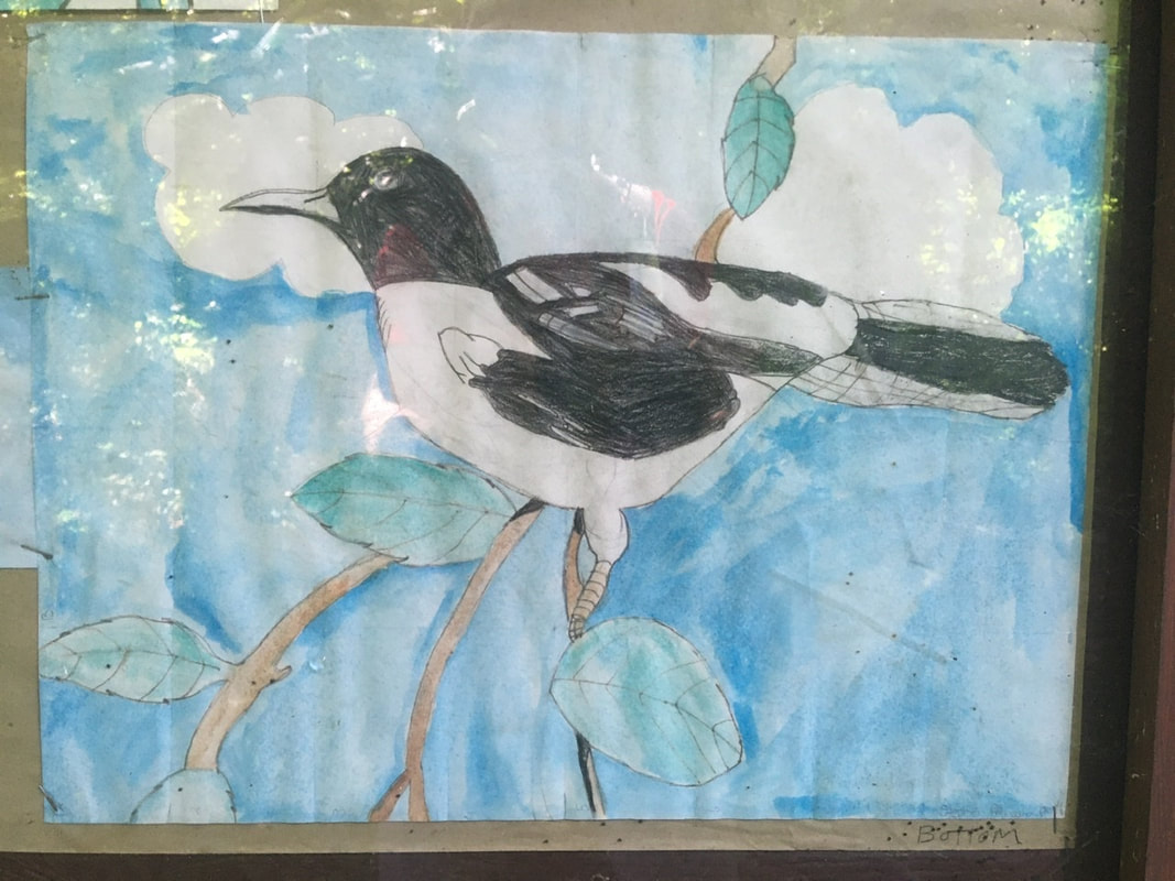
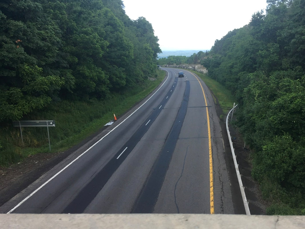
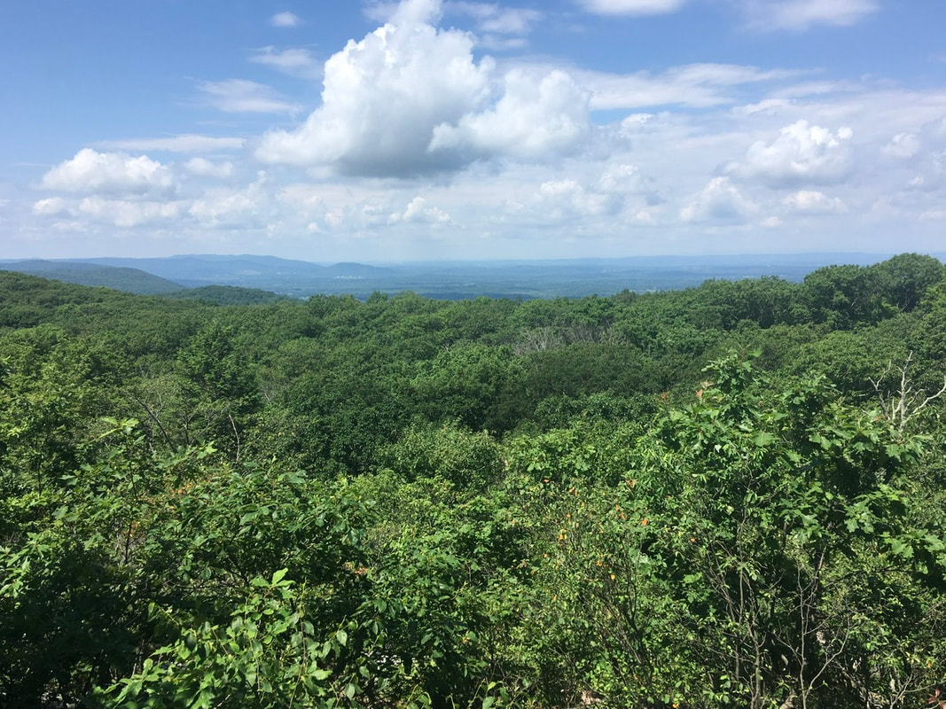
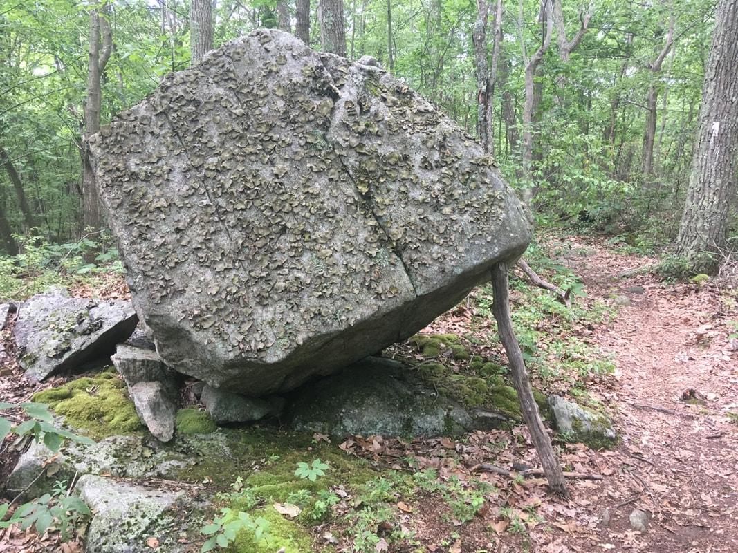
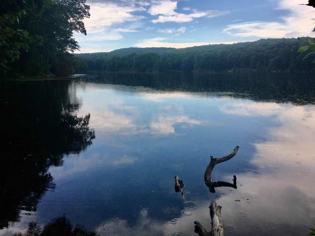
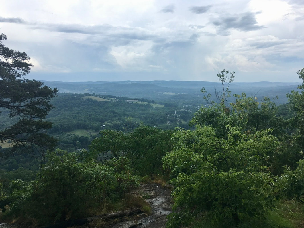
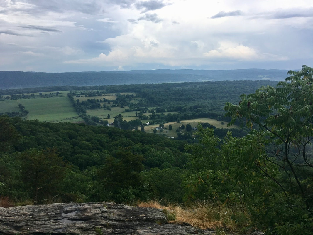
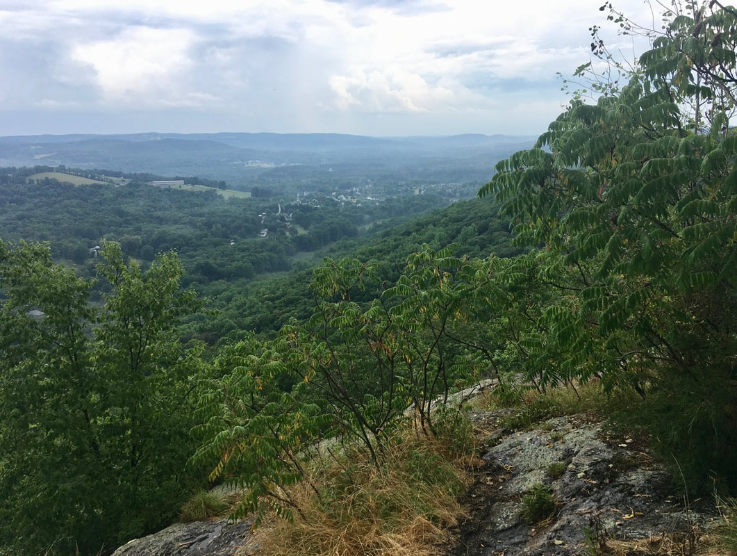
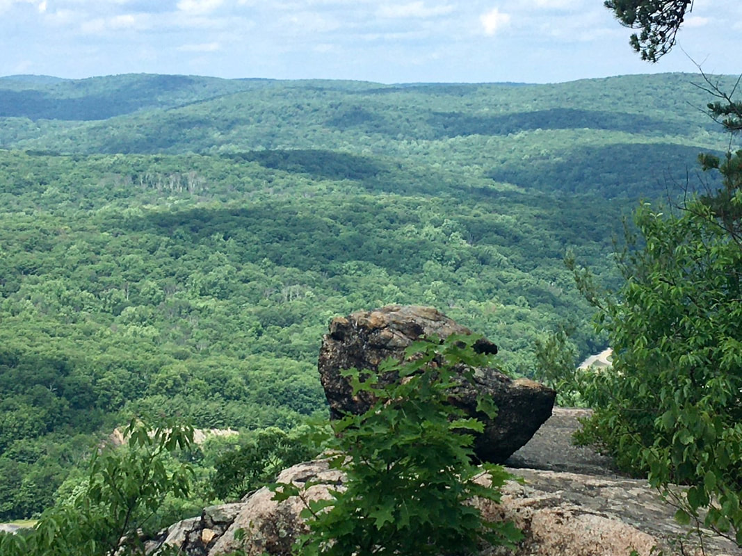
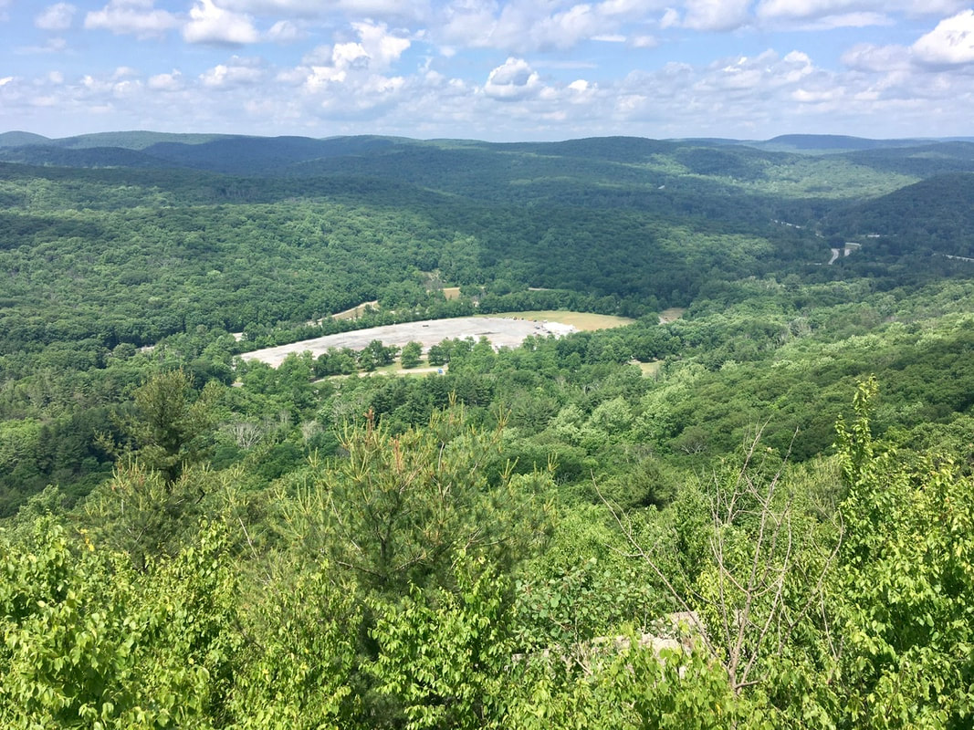
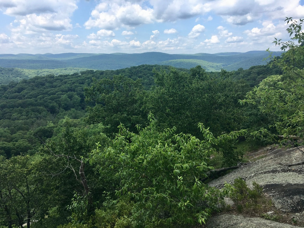
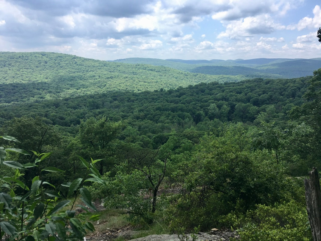
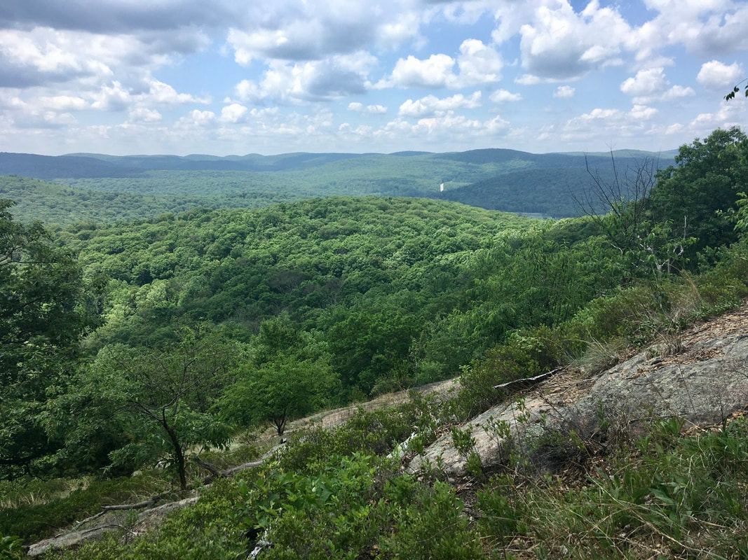
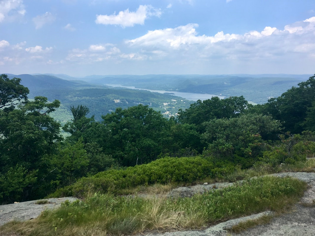
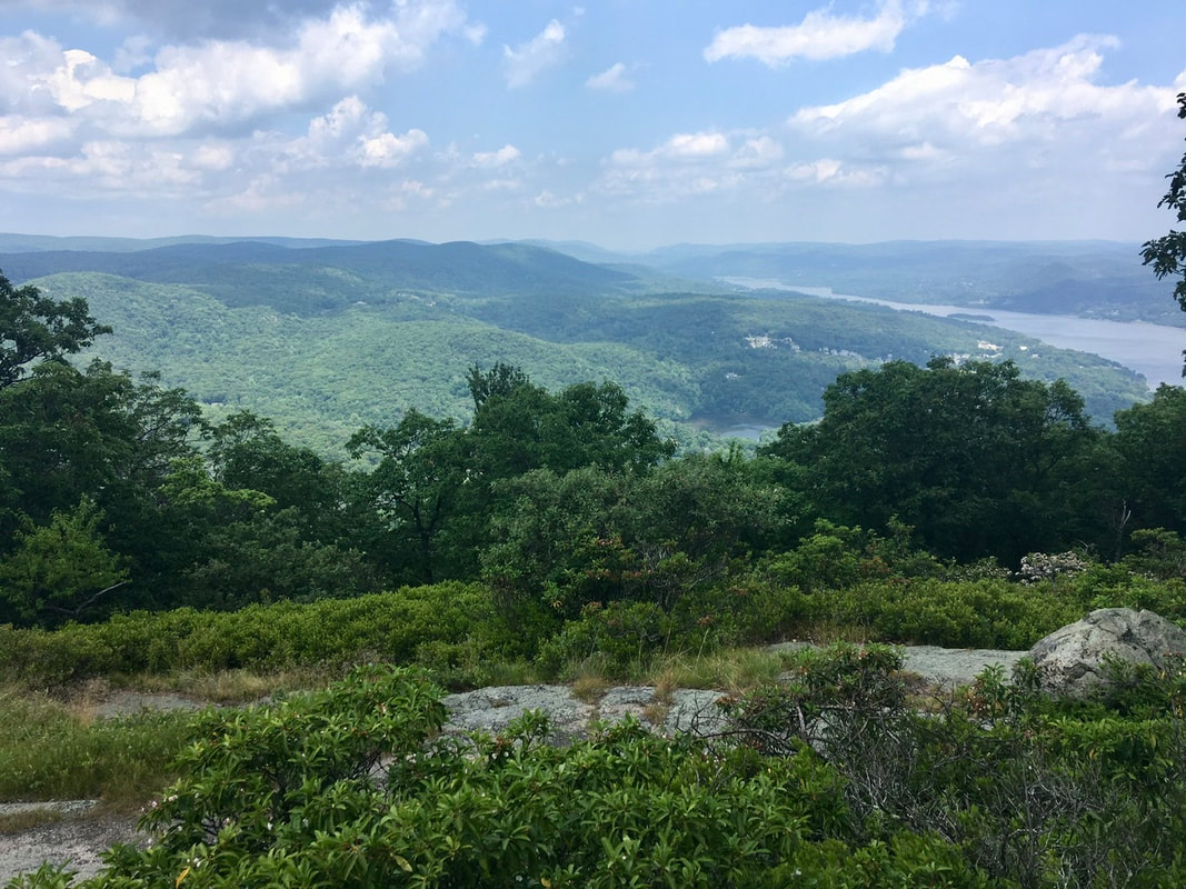
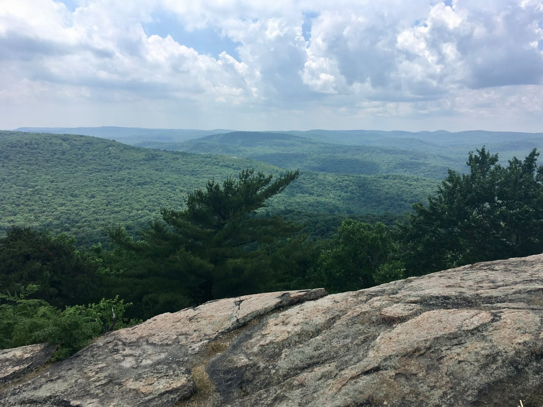
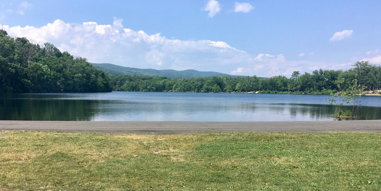
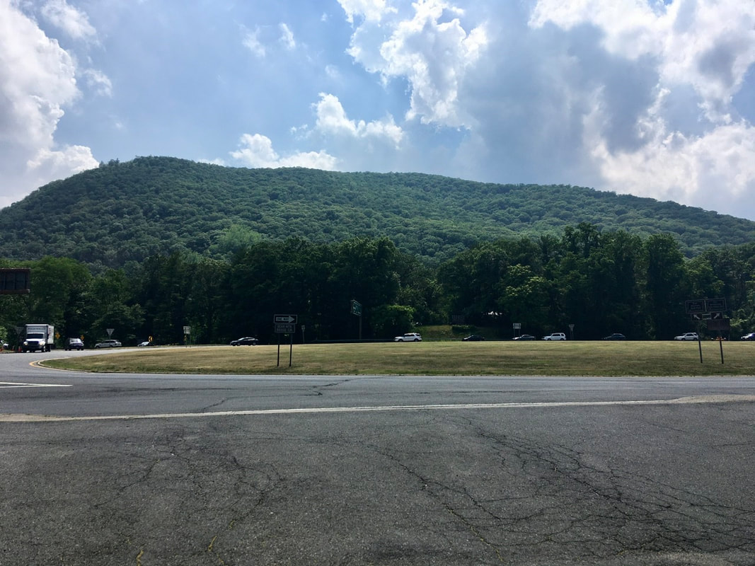
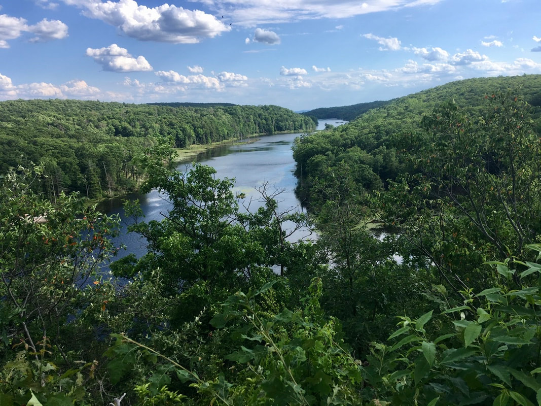
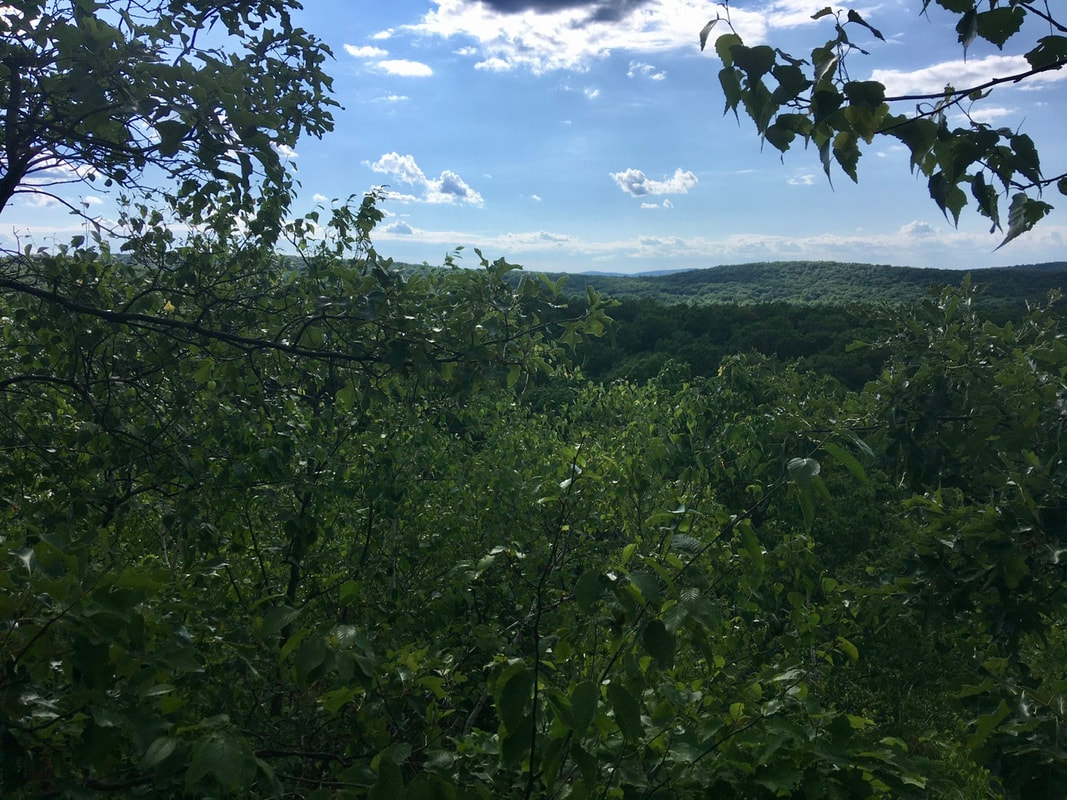
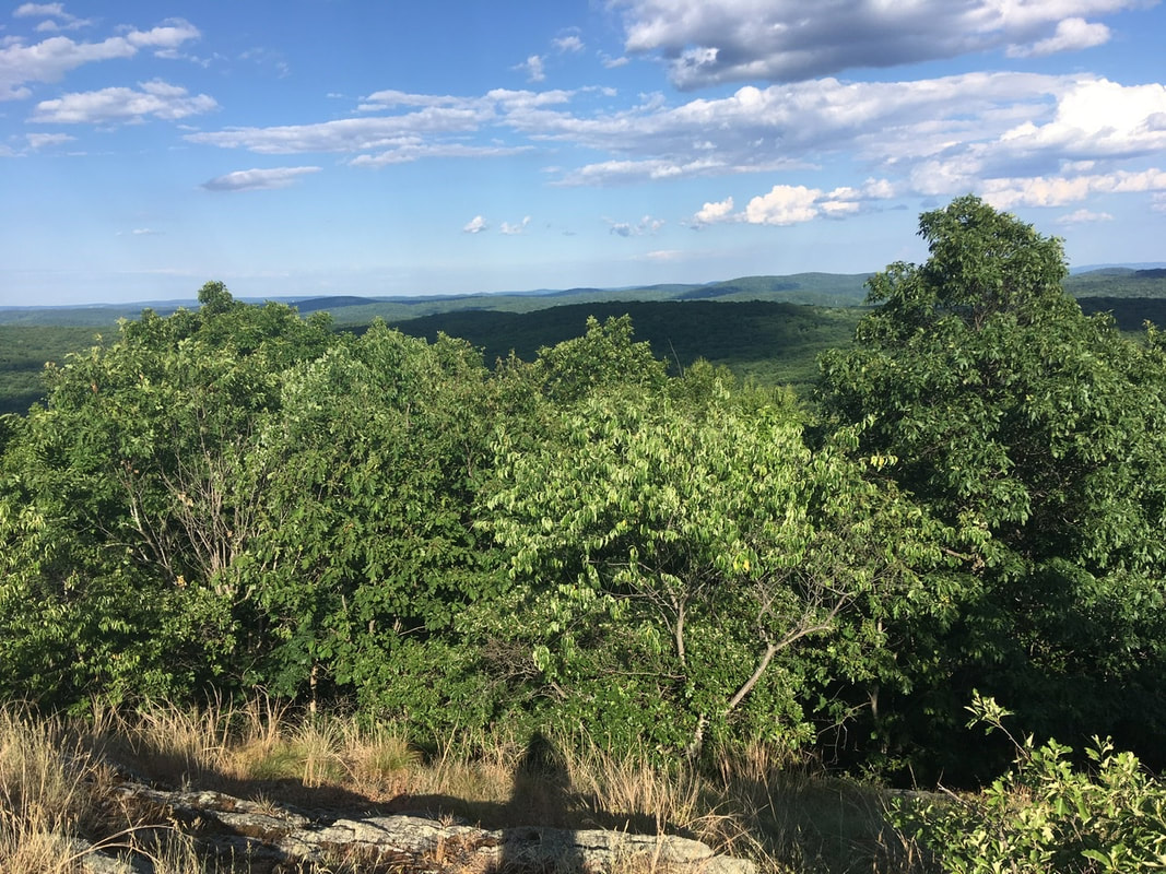
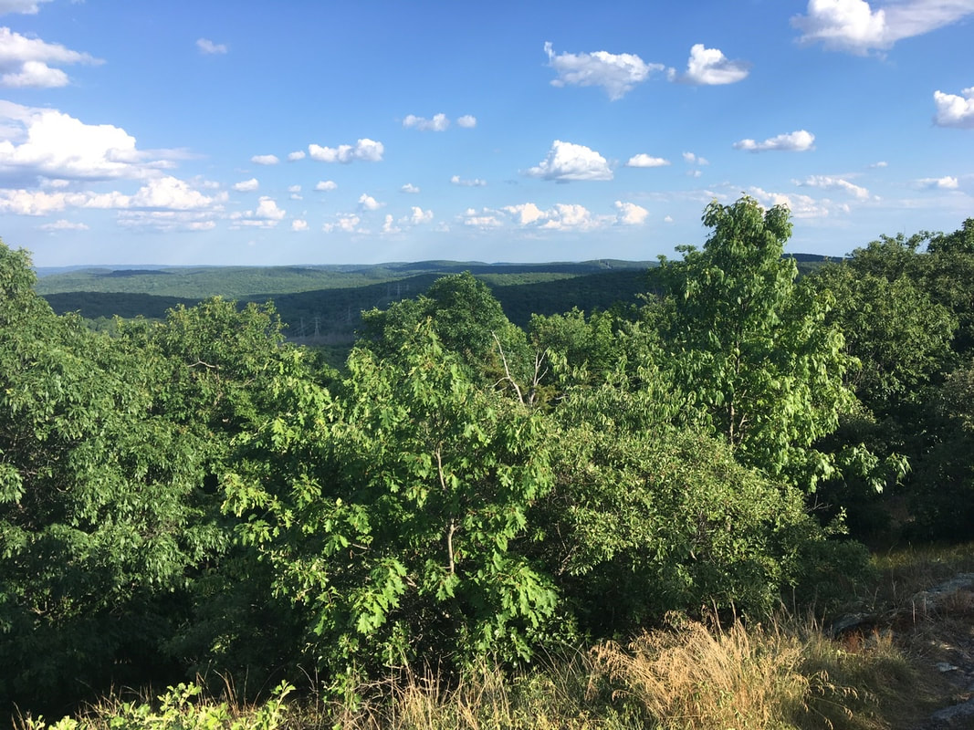
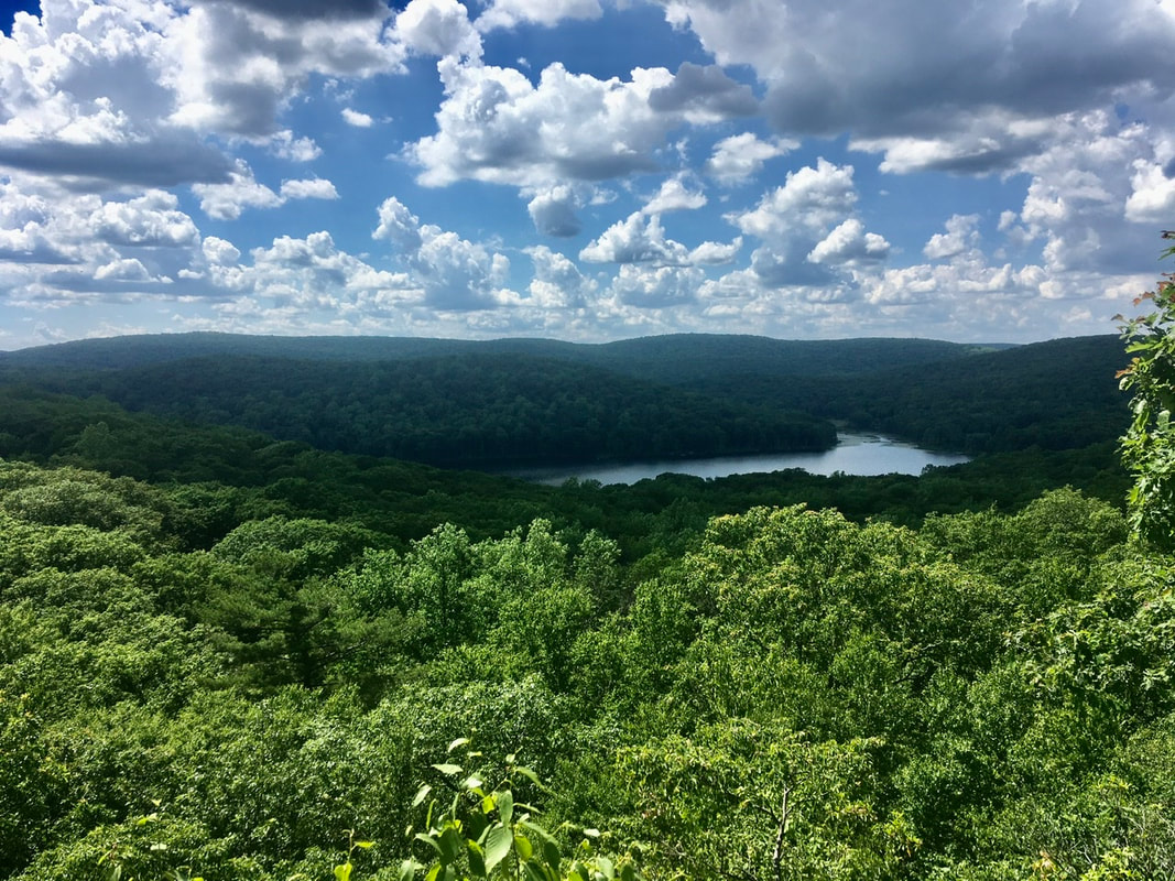
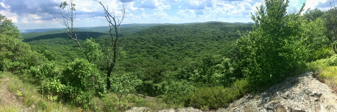
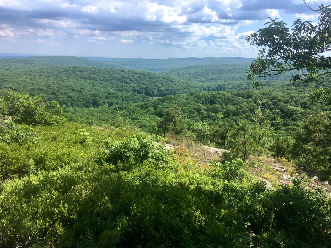
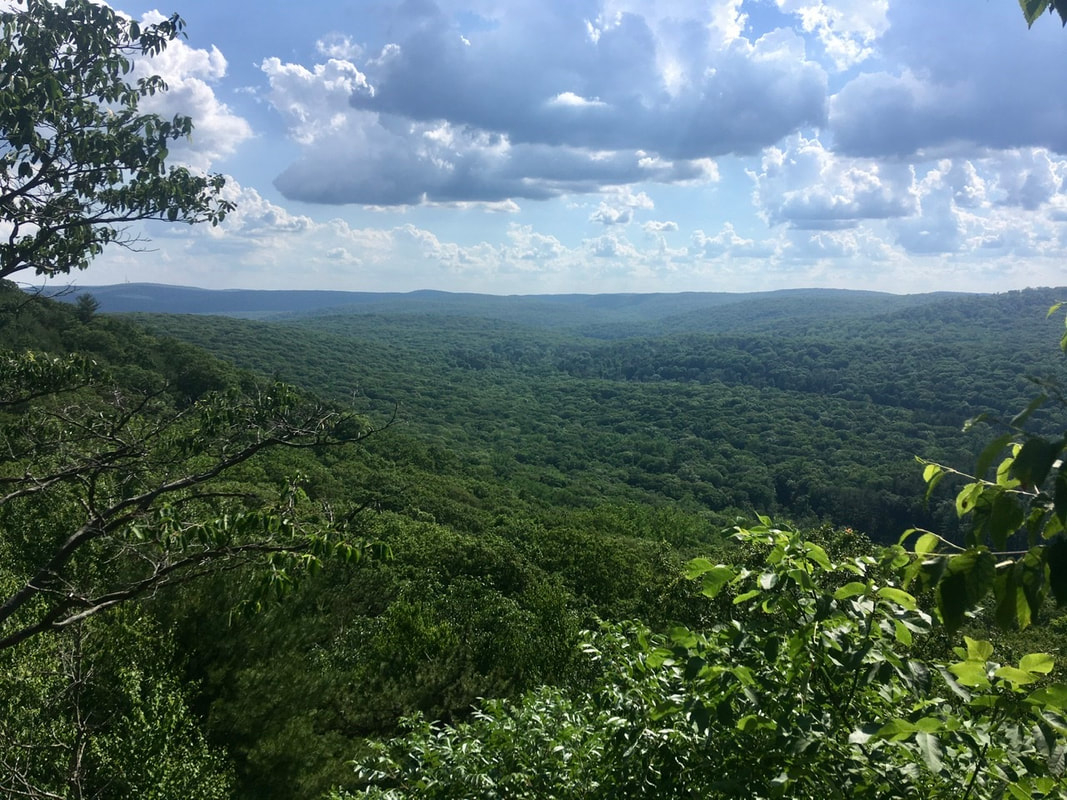
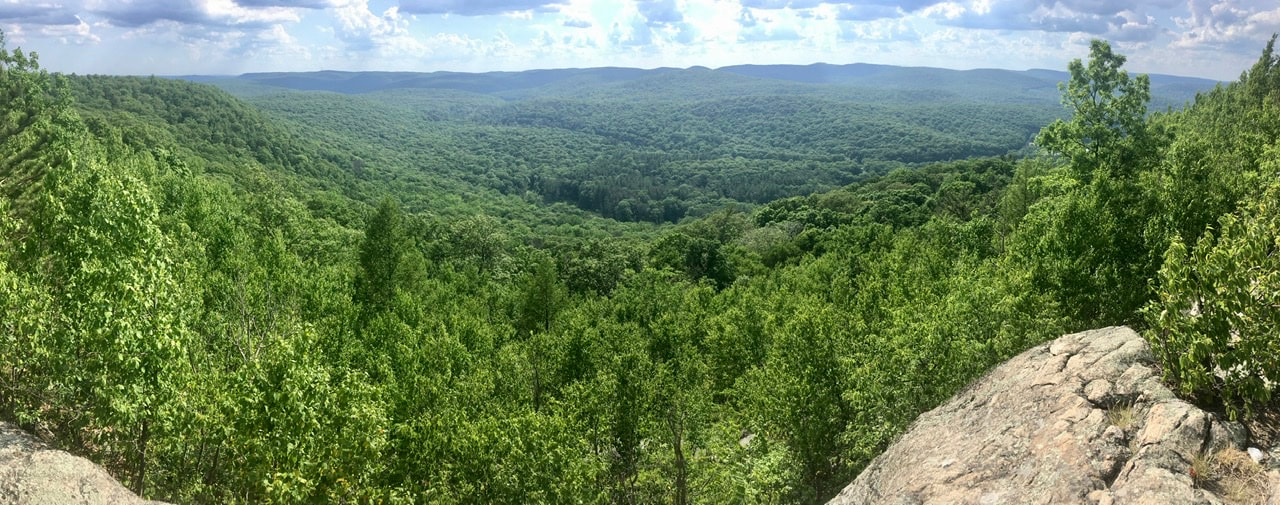
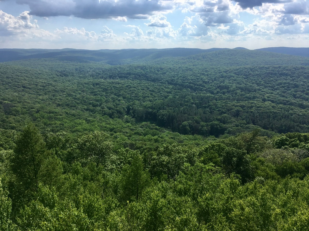
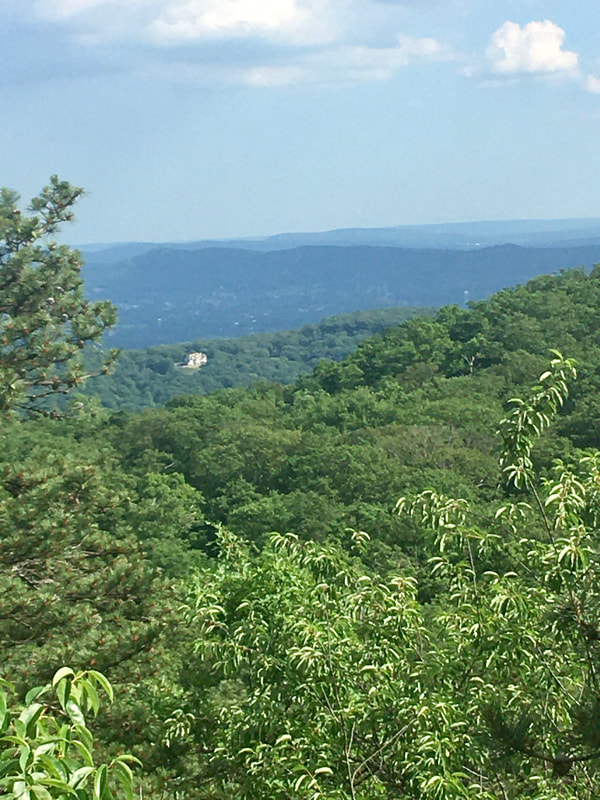
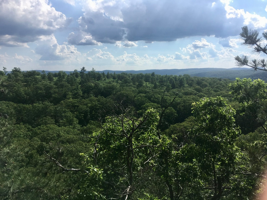
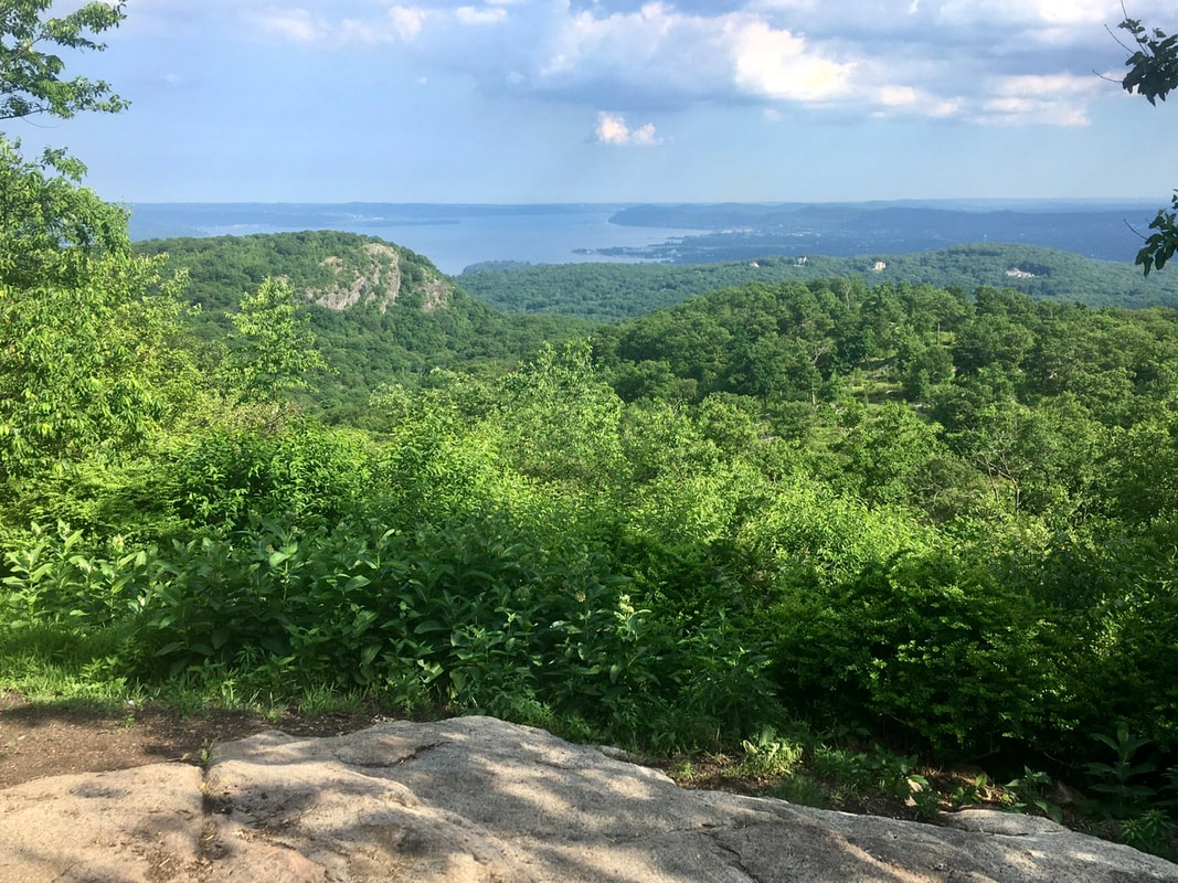
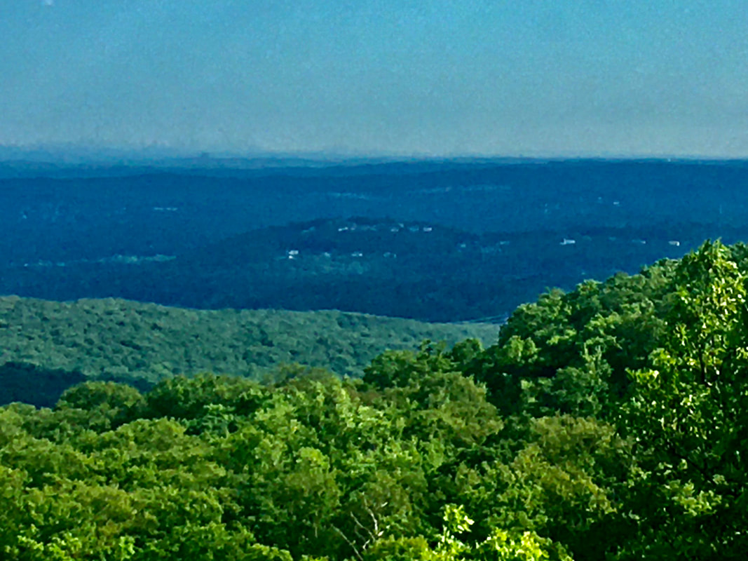
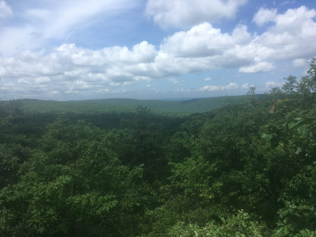
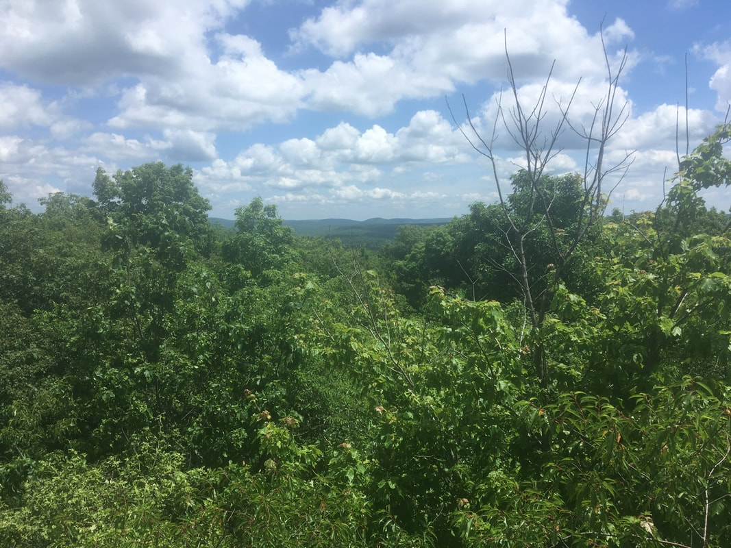
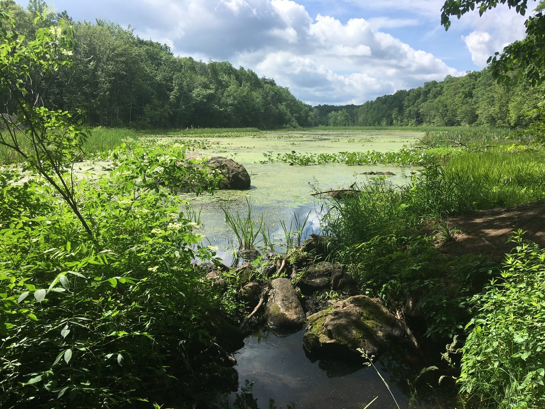
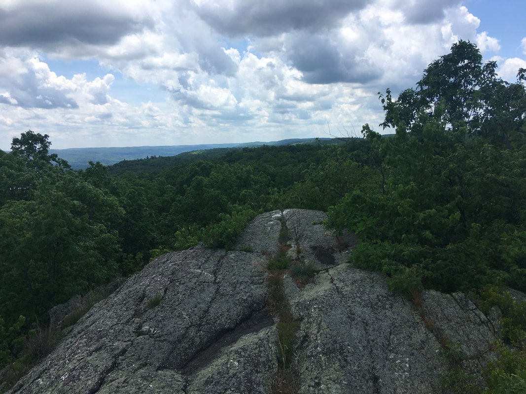
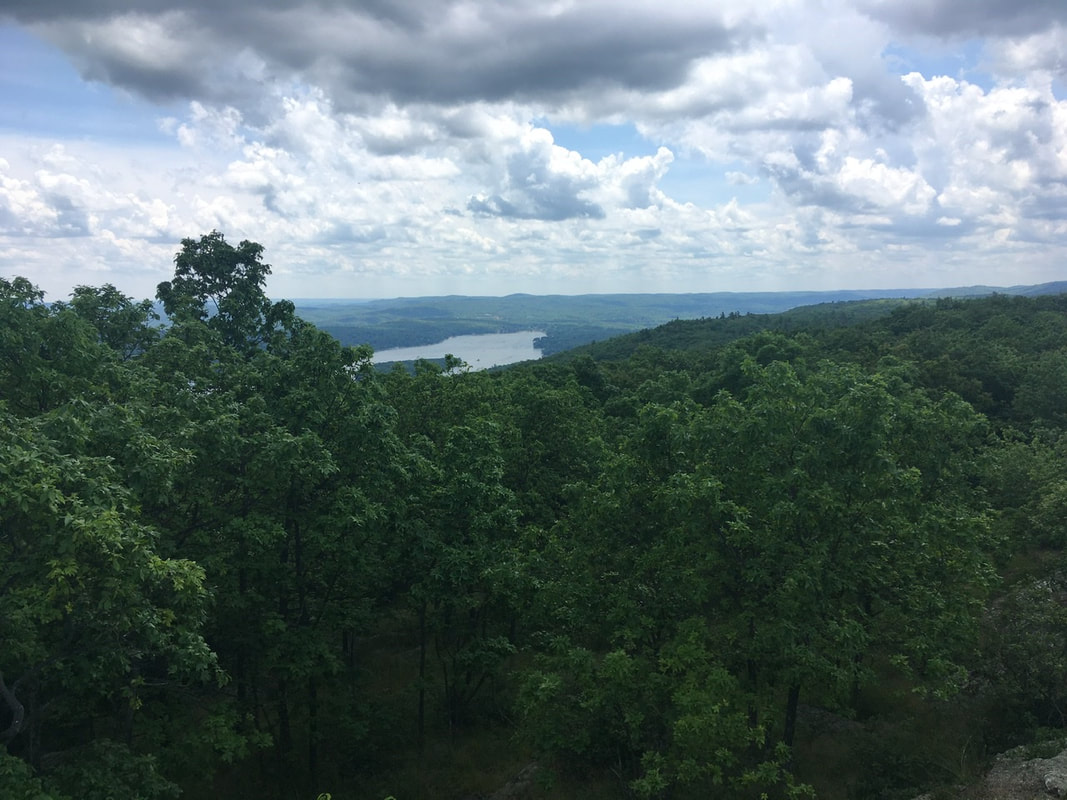
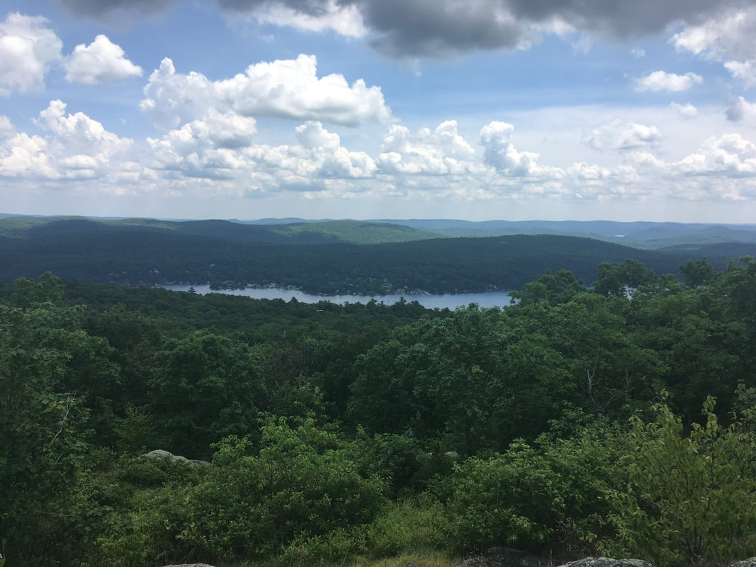
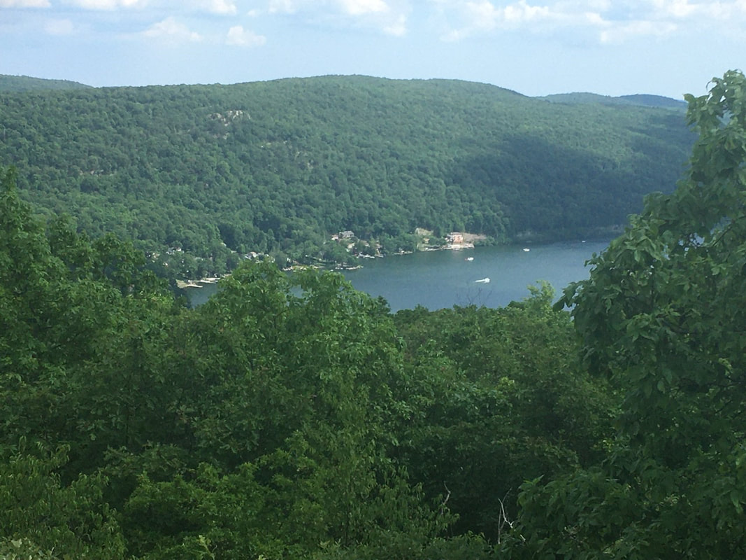
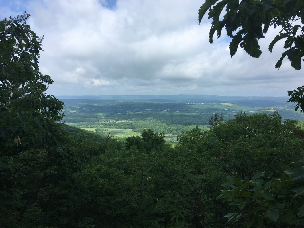
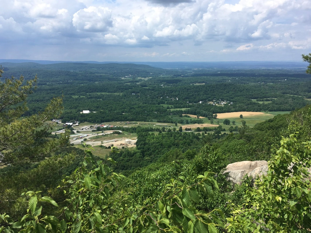
T+30 (June 28, 2020) Navigation Report: Start Point: Stealth tent site @ NY Route 52 (mile 1436.9) Destination: Telephone Pioneers Shelter (mile 1448.6) Travel Log: 10:00 Break Camp (mile 1436.9) 10:25 Field (mile 1437.7) 10:30 Largest Oak on AT 10:40 I-84 (mile 1438.3) 11:10 Eastern Newt (mile 1439.5) 11:40-11:50 View (mile 1440.5) 12:05-12:40 Morgan Stewart Shelter (mile 1440.8) 1:10 Depot Hill Rd. (mile 1441.9) 3:00 Stream (mile 1445.3) 4:15 View (mile 1448.2) 4:30 Telephone Pioneers Shelter (mile 1448.6) Daily Mileage: 11.7 Total Mileage: 294.3 Commander’s Report: I actually thought I was going to make it out of camp early today. HAHA joke's on me! It seems like every morning goes something like: 5:30 "It's too early to get up" 5:40 Grabs trowel and TP. Runs off into woods. 6:00 Starts heating up water for tea and food. 6:05 Starts working on blog posts 6:40 starts eating 8:15 “HOLY $#!@, IT’S 8:15!” Starts disassembling camp. 9:30 “Alright, just this one last thing to do.” 10:00 Leaves camp after doing 15 other things in addition to that one thing. Anyway, after departing I found Trail Magic at the trail head on the other side of the road. Someone had left two boxes of Nokia "super food" smoothies for the hikers. I'm 90% certain that I grabbed the last one. Consumed it around lunch time: it was just ok. It had a bit of an unappealing texture to me, but otherwise it tasted pretty good. Happy to add in some variety out here, but I don’t see myself picking these up for myself in the future. The trailhead also had a really nice public art display. A group of 8 paintings made by 6th grade students at La Grange Middle School. Kudos to those students, their art is better than mine! Also, kudos to the adults who organized that, I really enjoyed it. Less than a mile after where I started, the AT is said to pass through a field. It may once have been a field, but I'd say it no longer qualifies as one. Just a bit after the "field" is the largest oak tree on the Appalachian Trail. It is over 6 feet in diameter and is believed to be over 300 years old. My hiking poles are in front of it, for reference. Right after all that, I crossed I-84 and I remembered to take photographic evidence. About a mile after I-84 I noticed this little Eastern Newt on the trail. I just had to take a picture of it. Funny thing is that I always thought it was a type of salamander growing up. Glad I now know the truth. I met about a dozen of these little guys today, most after the rain. A mile after the newt is a view point with views off to the South. Seen worse views in New York! Just a bit after that view is the Morgan Stewart Shelter. I stopped in to refill my water. The water source for this shelter is a well, apparently with cast iron components. The water tastes like licking a rusty nail, but a bad taste won't hurt me. A mile north of the shelter the trail crosses Depot Hill Rd. On either side of the road these signs were installed. I really like the wooden / homemade feel of most everything surrounding the trail. Randomly, some joker propped this boulder up with a stick. I just had to take a picture of that! Right around this point, the weather started getting quite threatening. Sure enough, about a half hour later it started raining. I donned my rain gear on the shore of Nuclear Lake. If you look closely, you can see the rain in the water's reflections. The final attraction of the day was a nice viewpoint that I reached just after the rain had died down. Best viewpoint today, so let's share a couple of pics. The shelter is less than a half mile away from the viewpoint. It's going to be a busy are there tonight. A guy, who I had passed a couple times today, was there. He is meeting his thru-hiker son and his son's "tramily" at the shelter tonight. There's supposed to be 7 of that crew in total. So, I bailed and went back to the tent site about 0.2 miles south. Worth it for the quiet alone, but all the sites at the shelter are on weird angled ground, whereas the tent only location had really flat tent sites. Double whammy for the shelter.
Back at the tent sites, I met two hikers that I had passed during the rain. They are also planning on staying at the tent sites. They seem like they’ll be better company than a group of young adults.
0 Comments
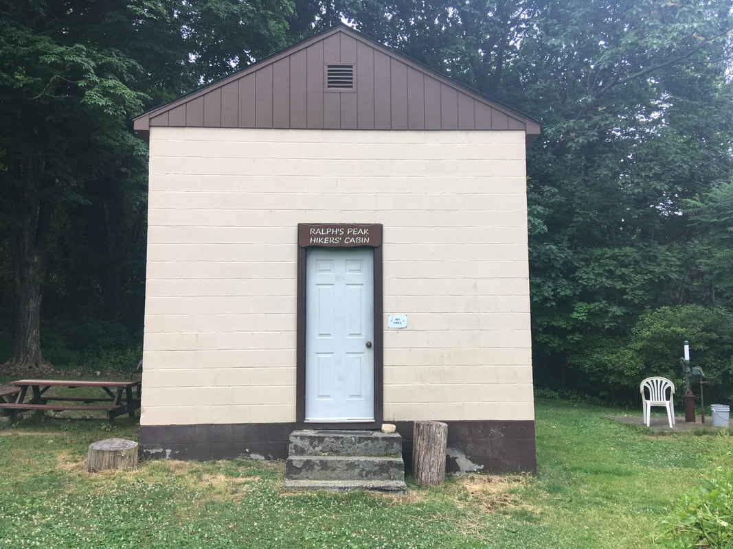
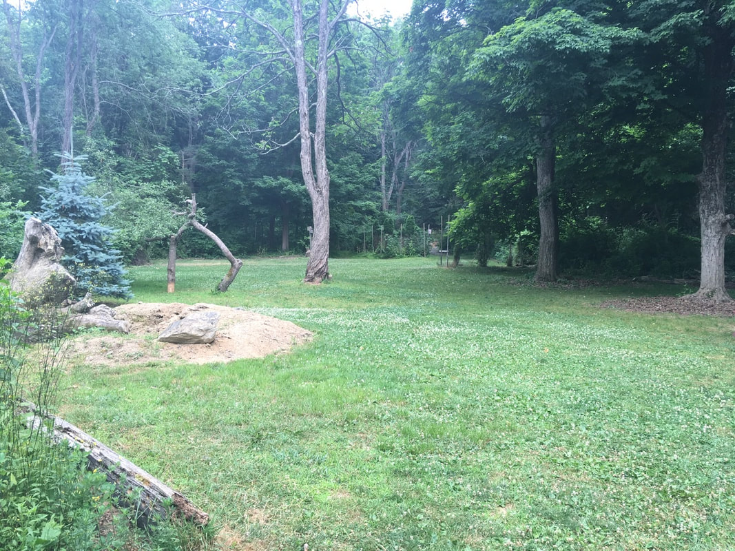
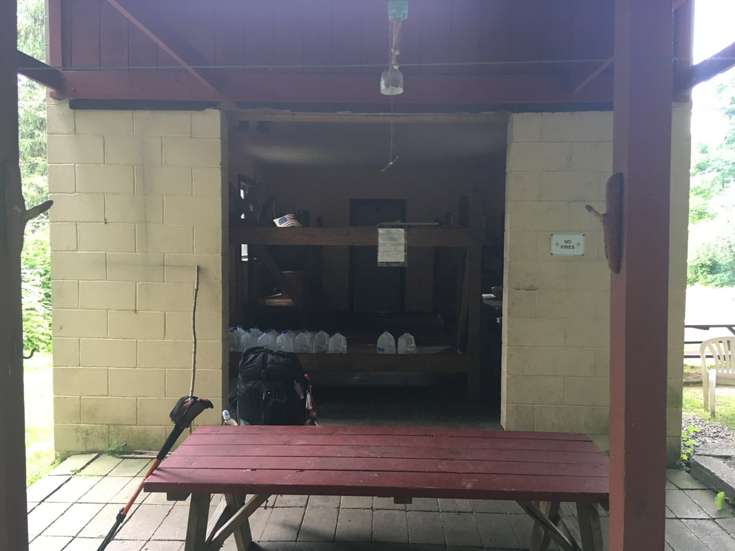
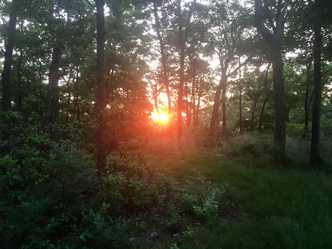
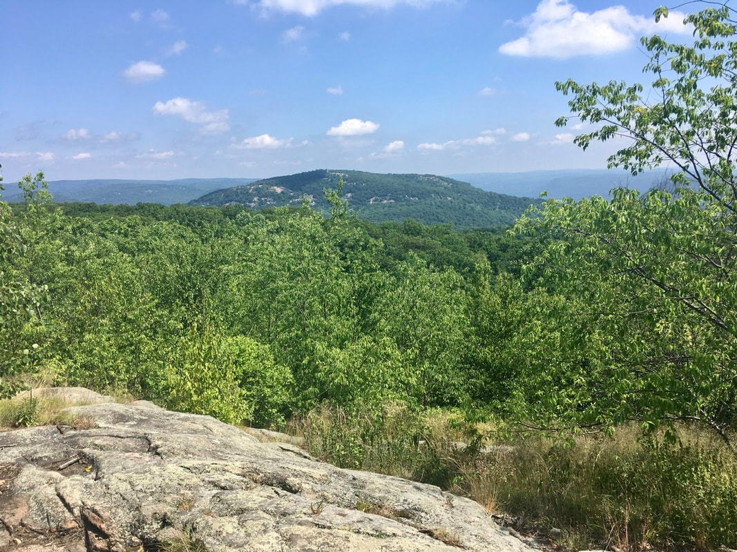
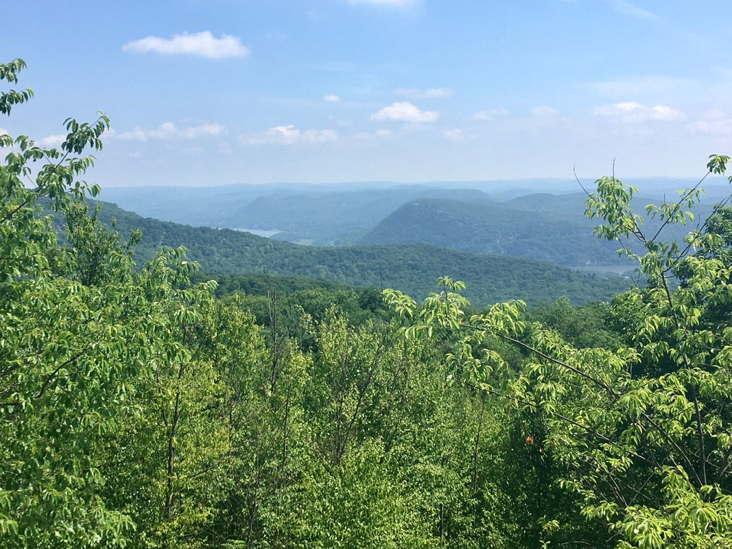
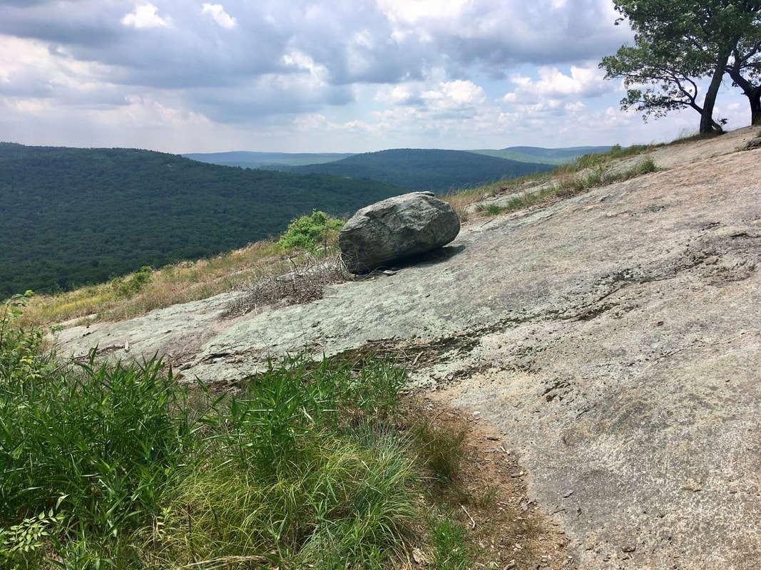
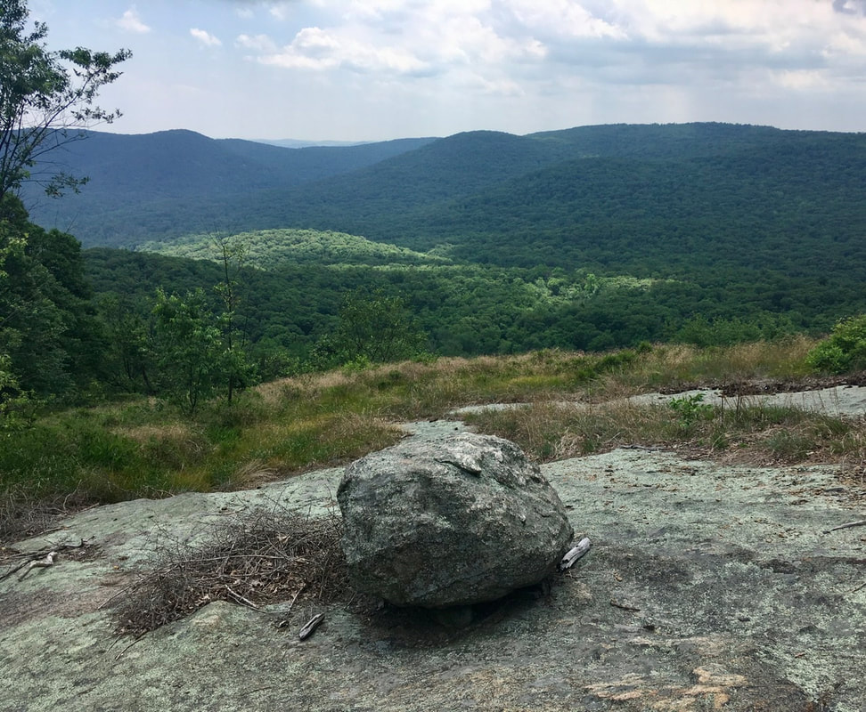
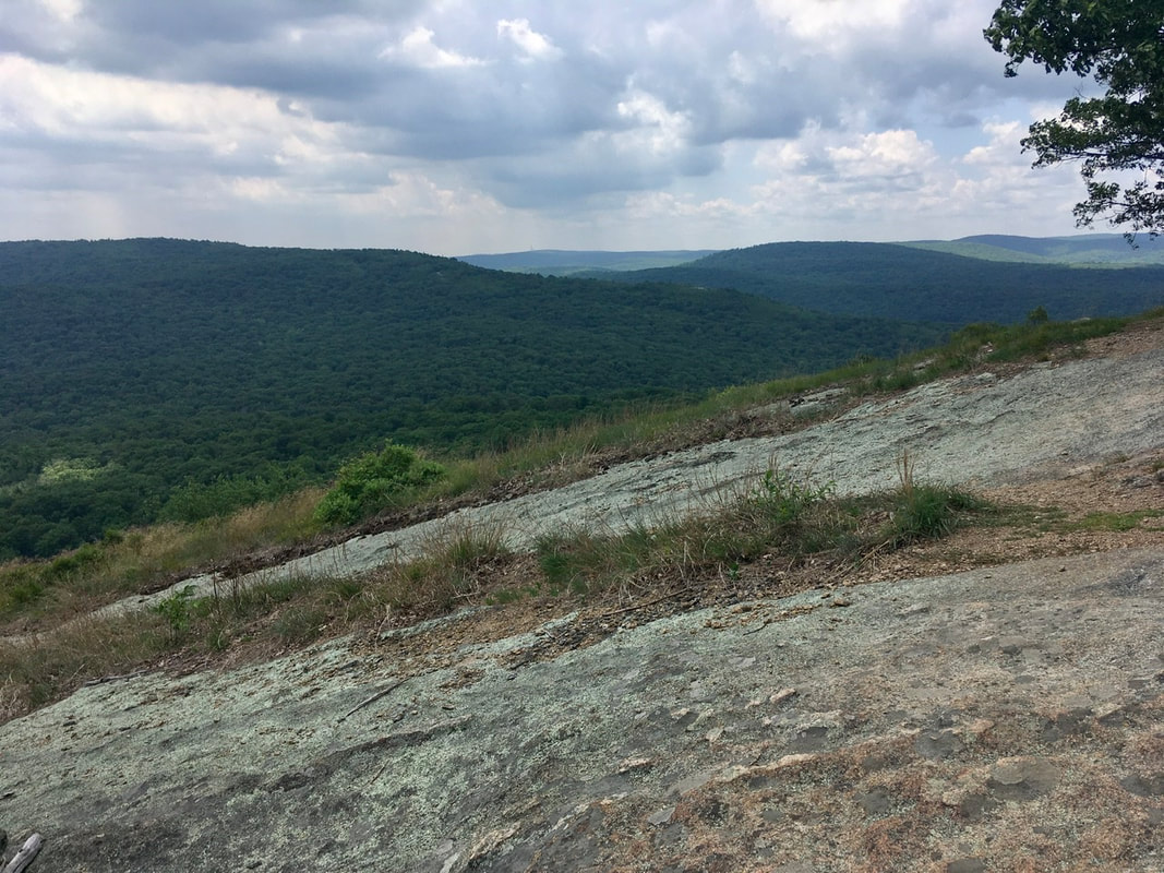
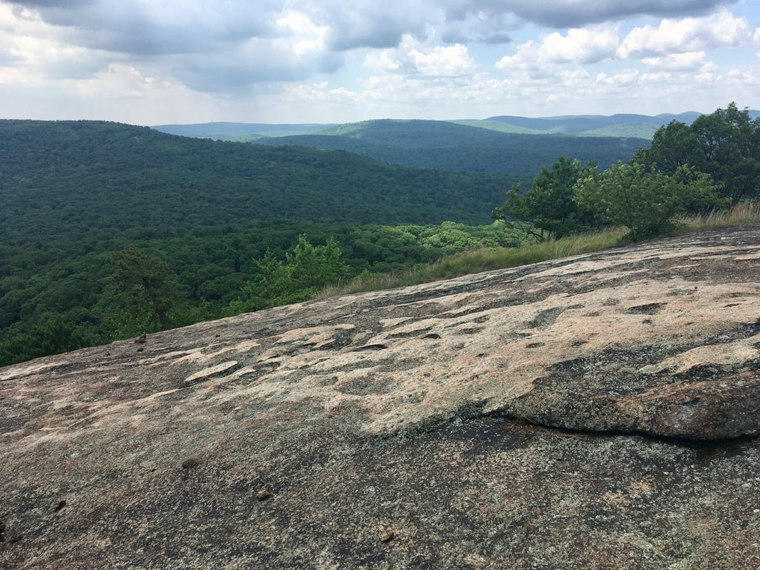
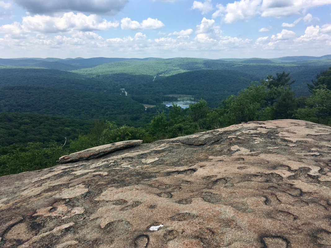
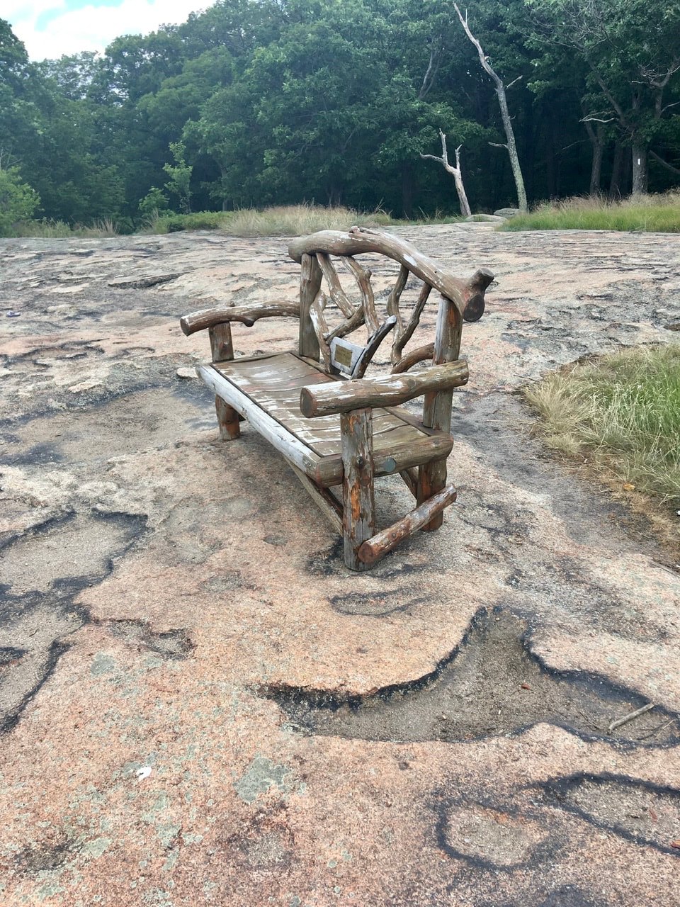
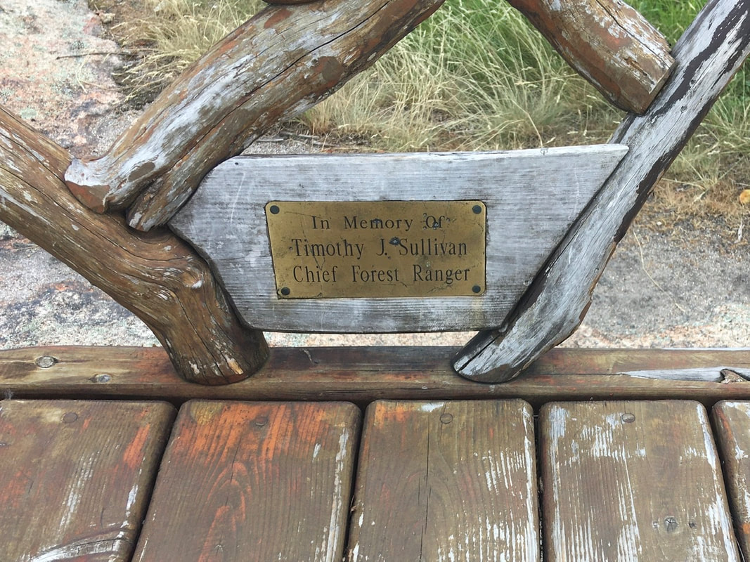
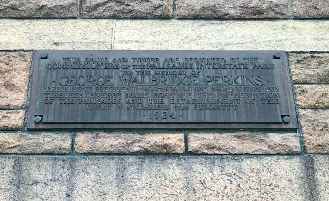
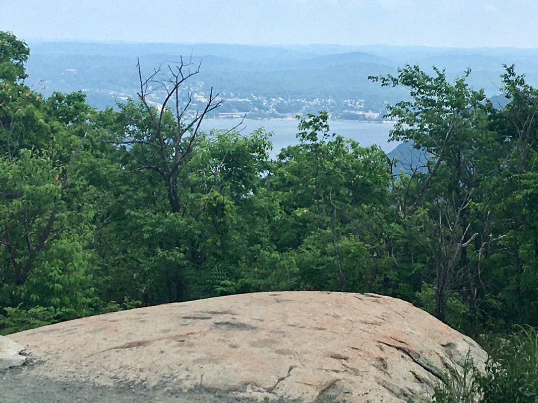
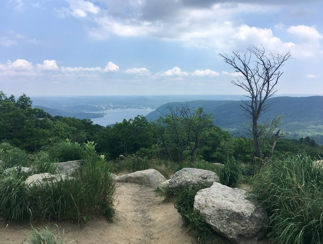
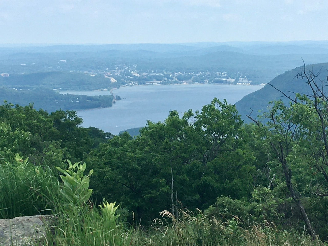
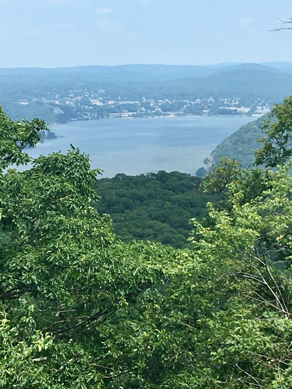
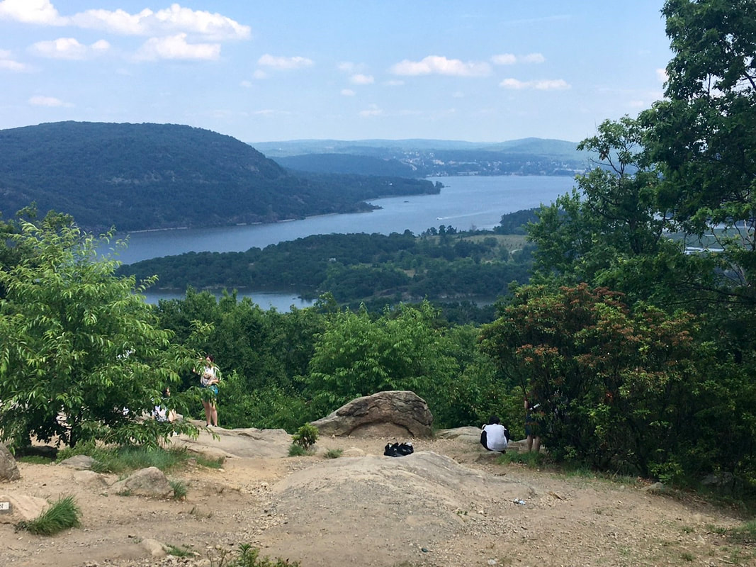
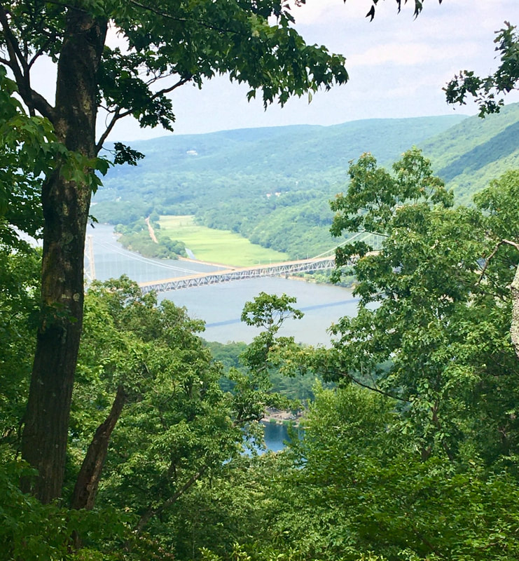
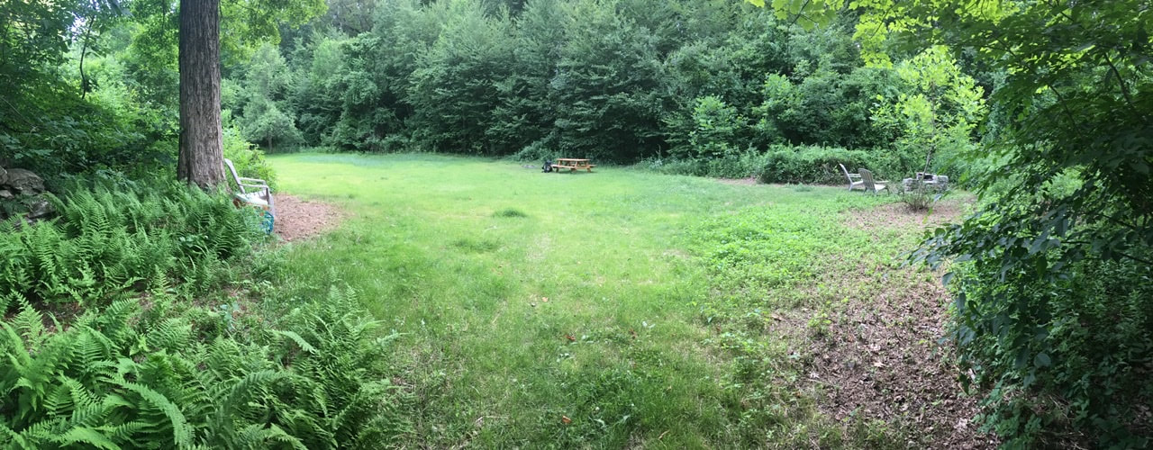
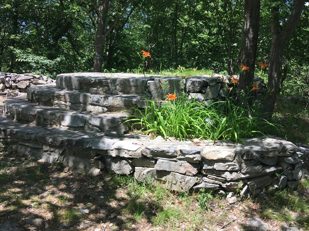
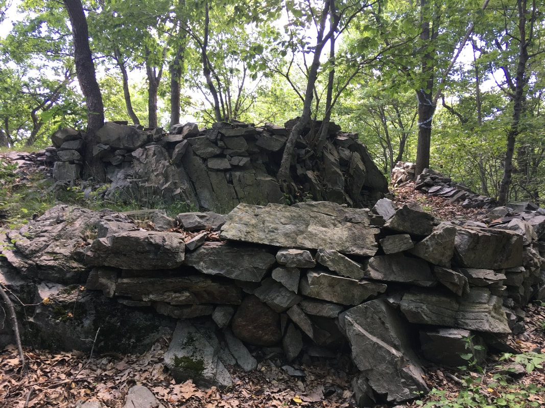
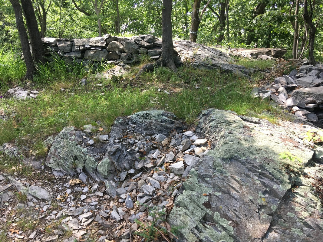
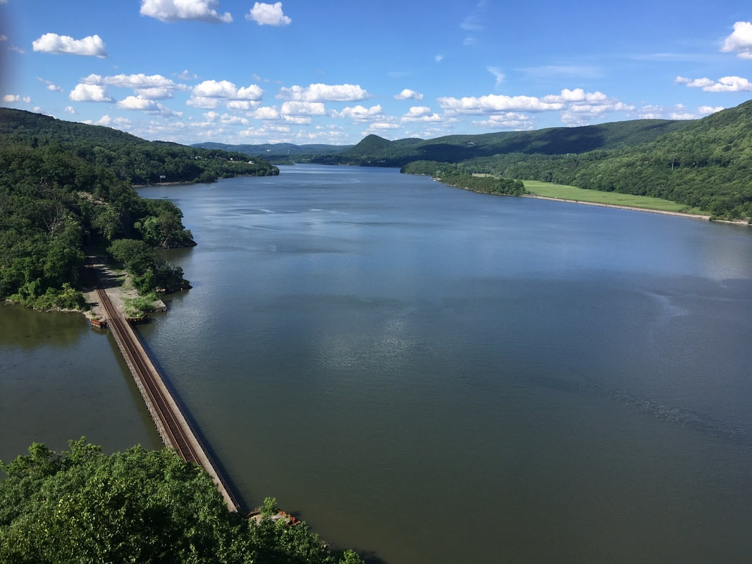
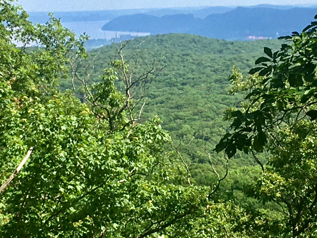
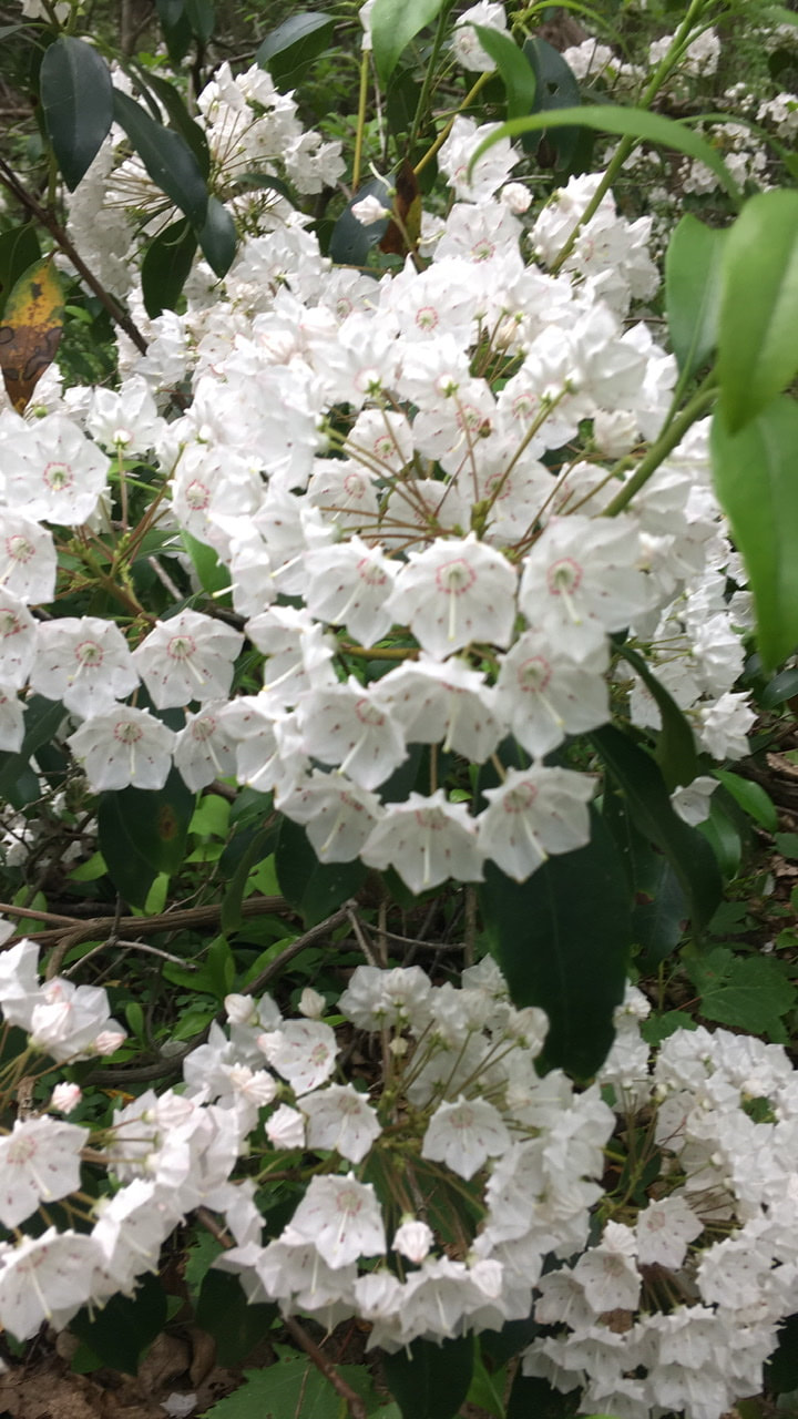
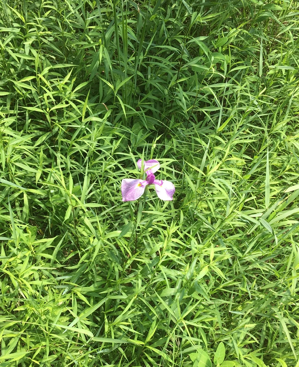
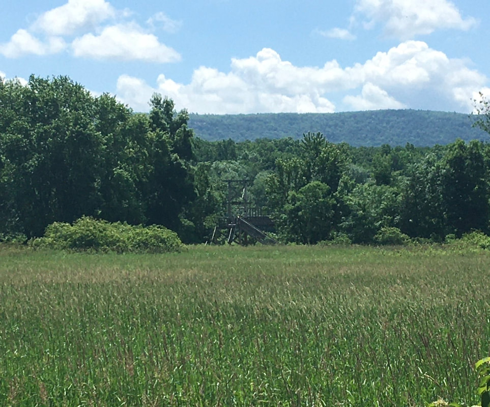
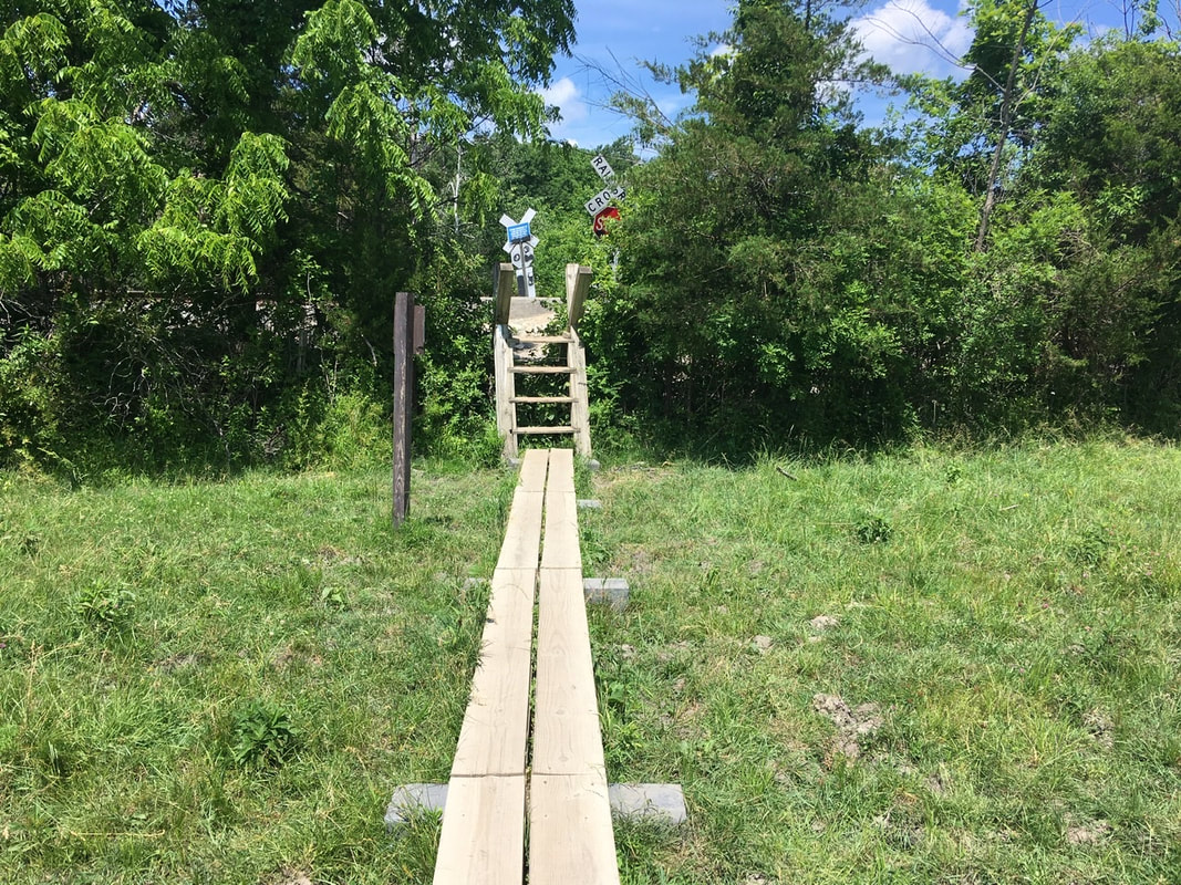
T+29 (June 27, 2020) Navigation Report: Start point: Shenandoah tent site (mile 1430.6) Destination: Morgan Stewart shelter (mile 1440.8) Travel Log: 10:40 Break Camp 11:25-11:50 Ralph's Peak Hikers' Shelter (mile 1431.8) 12:05 Taconic State Parkway (mile 1432.1) 1:40 Horner Mountain view (mile 1433.7) **Got turned around** 2:45 Ralph's Peak Hiker's Shelter (mile 1431.8) 5:55 NY Route 52 (mile 1436.9) 6:10 Mountaintop Deli (off trail @ 1436.9) Daily Mileage: 6.3 Total Mileage: 282.6 Commander’s Report: So, today was one of THOSE days! Everything started well enough. I was awake and moving around 5:30. Breakfast was done early, too. I even had pretty good cell service, so I uploaded two blog posts. It wasn't until I started getting ready to leave that thing s started downhill. You see, a couple of places on my bag have pinpoint type holes through the bag. I have been meaning to cover these up with patching to minimize water intrusion. You can see where this is going, right? That's right, it was supposed to rain later and I FINALLY remembered to apply the patching. 6 locations had the plastic repair tape applied. This required me to completely unpack and repack. Not ideal... Hell, by the time I was leaving the rain was just starting. It was just a delicate sprinkle, so while it could have been worse, but I was hoping to be well on my way by the time the rain started up. Hiking wasn't much better for me today. The larger miles completed yesterday left my ankles quite sore, so there was a good bit extra hobbling around mixed into my gait today. First attraction of the day is the shelter I had hoped to stay at last night - Ralph's Peak Hikers' shelter. It's an interesting place. It has a well manicured lawn, some plantings, and a non-functional well. The caretakers bring gallon water jugs for hikers to use for refilling their bottles. This is crucial as there is a dearth of good water options around here during dry spells (like now). After RPH shelter, the trail goes underneath Taconic State Pkwy. Compared to playing Frogger, I'll take this every day. North of Taconic State Parkway, the trail runs along a ridge and has several viewpoints. In spite of the weather I caught some pics of the views from up here. After the views, the trail drops down, and eventually crosses Hosner Mountain Road. It was somewhere in here that my day really took a turn for the worse. The instigating event was the rain going from a pleasant, if annoying, soaking rain to a deluge almost instantly. Let me explain my rain system. I do one of three things for rain: 1) nothing; 2) move various things I normally keep on the outside of my pack to the inside; 3) put everything sensitive, including my phone, inside my pack. The deluge forced me to move from 2 to 3 as quick as possible in the rain. I introduced some moisture to the inside of my pack, but it wasn't too bad. The problem lay in WHERE all this took place. It just so happened that it started raining when I had come upon a poorly blazed series of switchbacks when I was already uncertain of my direction. So, when I went to get back to hiking, I ended up picking the wrong direction. At the location I stopped, I should have been going down toward the road. So, having forgotten how I came to this juncture, I chose the path heading down. Unfortunately, this lead back where I came from. With the rain coming down hard, my head covered, and phone securely in my pack, I proceeded to walk...and walk...and walk. I walked for a bit over an hour and ended up...at RPH shelter. Funny thing is that I never noticed I was retracing my steps. The trail always looks very different when traversed in opposite directions. Add in the rain and my head being covered, and you have a recipe for disaster. Which is what I got. By all rights, I should have realized my mistake when I crossed under the Taconic State Parkway again, but I was also supposed to cross I-84 today. I assumed the highway I was crossing was I-84. So, there I was at the same place I started 3 hours before, only more fatigued and facing the prospect of night hiking to make the mileage I had intended. I mentally nixed the idea of night hiking, but did want to make it to the Mountaintop Deli 5.1 miles north. Not only is there food involved, but they also provide an outlet for recharging and water (which is no longer in short supply, but is currently tainted with loads of runoff. Well, 3.5 hours later and I made it to the deli. My battery pack was very low owing to the amount of catch up blogging I had been doing, so it took until 8PM to get mostly charged. I also used their hose to clean my feet, legs, and socks. I wore my camp shoes (Crocs) around while waiting. This allowed my feet to dry out a bit, which was a very welcome releif. Oh, and the sub was quite tasty. From the Deli, I had two sleeping options: 1) a site about a mile north, or 2) a tiny stealth site right where the trail meets Route 52. I was sick of today, so I chose the later. In all, about 12 miles of hiking for a bit over 6 miles of actual gain. Oh well, try not to fuck things up in the future, I suppose! Apologies for the gap in posts. This one has been a particularly annoying one to put together. Without belaboring things too much the problem is that the hosting domain’s builder interface can be laggy and glitchy in the best of times. When there is a bunch of images or poor internet connection, this is exacerbated. When you have both conditions, it becomes impossible to complete the task of assembling a post. Anyway, without further ado, here’s my recap of Bear Mountain day! ____________________________________ T+25 (June 23, 2020) Navigation Report: Start Point: West Mountain Shelter (mile 1399.9) Destination: Hemlock Springs Campground (mile 1408.8) Travel Log: 10:40 Break Camp 11:00 Rejoin AT (mile 1399.9) 11:05 West Mountain Ridge begins (mile 1400.1) 12:05 Seven Lakes Drive (mile 1401.7) 12:20 Perkins Memorial Drive (mile 1402.3) 12:45 View (mile 1402.7) 12:55 View (mile 1403.1) 1:15-1:45 Bear Mountain (mile 1404.0) 2:20 View (mile 1405.1) 340 US Route 9 (mile 1406.0) 3:30 Bear Mountain Bridge Motel (Fort Montgomery) Daily Mileage = 6.1 Total Mileage = 251.8 Commander’s Report: The day started bright and early with a beautiful red sun rise. I hadn't planned on catching the sun rise, but nature called at just the right time. After breakfast and some early morning tasks were completed I was off. Man did the walk back to the AT seem to take 10x longer than the same walk did yesterday! The shelter is great - BUT it's about a light year from the trail. After the junction, the AT more or less follows a ledge and has a whole series of view points along it. I'm just going to dump a bunch of pics here from that. This first one is of Bear Mountain, "the highest point in New York" as the guy who co inhabited the shelter said yesterday. Of course I had to correct him. 1200+ feet tall doesn't hold a candle to most of the mountains in the Adirondacks! It just happens to be the tallest mountain that the AT goes over in NY. But even that is really meaningless as the highest point on the AT in NY is actually Prospect Rock, just after you cross the NY/NJ border. He was so full of reeking BS, I couldn't talk to the guy! (Did you know that Atlanta has aggressive beers? Me neither. Well he told me he was missing the bears back home and when asked told me that he was from Atlanta. He's actually from Dalton 90 miles away on the GA/TN border. Ugh!) Ok, that's the end of the pics from West Mountain. I had to traverse the 2 miles between mountains For more picture worthy content. The first views are from an opening in the trees at mile 1402.7. Literally right around the corner is another view point. This one is a large rocky outcropping (with boulder on it) and for my money this location had the best views of the day. This spot also had a whimsical looking bench made of tree branches and dedicated to a former Forest Ranger. Had I known that this place easily beats the summit of Bear Mountain, I would have lingered here a bit longer. Just around the corner from that viewpoint, is another with a nice view of the Hudson. I couldn’t decide which picture I prefer more (the second one?), so you get them both. The summit of Bear Mountain was next up and there seemed to be about a million people here! I managed to get some pics taken without including too many people in them. From there it was a relatively easy trek down the mountain and into Fort Montgomery. On the way, the trail passes Hessian Lake, which was particularly picturesque today. About a mile after the lake and I was at the traffic circle I was directed to wait at for pickup by the owner of Beer Mountain Bridge Motel. Crazy place, this circle. People definitely don’t know how to roundabout here! After checking in at the motel it was errand tire: laundry, shower, resupply, dinner, etc. I'm happy to report that I got most of this done this evening and won't have to worry tomorrow. T+28 (June 26, 2020) Navigation Report: Start point: Stealth campsite @ stream (mile 1417.3) Destination: Shenandoah tent site (mile 1430.6) Travel Log: 11:15 Break Camp (mile 1417.3) 11:20 Canopus hill road (mile 1417.4) 11:20 Inoculation station (mile 1417.4) 11:30 First in series of walls (mile 1417.8) 11:55 South Highland road (mile 1418.4) 12:45 Small Stream [dry] (mile 1420.4) 1:05 Denny town Road (mile 1421.1) 1:50 Sunken Mine road (mile 1422.7) 1:55-2:15 Canopus creek (mile 1423.5) → refill water 3:10 Mining road (mile 1424.2) 3:30 NY route 301 (mile 1424.8) 4:30 Canopus Lake beech (mile 1426.8) → refill water 5:10 View point (mile 1427.1) 5:15 View point (mile 1427.2) 6:00 Shenandoah Mountain (mile 1428.8) 6:50 Shenandoah tent site (mile 1430.6) Daily mileage = 13.3 Total mileage = 276.3 Commander's Report: As usual, I got a late start in the morning. I didn't get on the trail until 11:15. Such delays don't bode well for the prospects of making the 13+ miles I plan on accomplishing. In my defense, I made good progress in uploading blog posts. The internet was solid here, so I took advantage of it! Once on the trail, I almost immediately came across the ruins of a barn that George Washington used as a place of smallpox vaccination during the Revolutionary War. It's amazing to me that vaccines have been around since before the founding of our fine nation and yet a large portion of the population are antivax. I just fail to comprehend this. The foundations of the barn are quite modest in size and sort of built into the hill. Just a bit north of that, the trail crosses a rather substantial wall. It's about 4 feet both wide and tall. This is much larger than a typical field boundary. I wonder if it was a defensive fortification from either the Revolutionary War or the War of 1812. If one pays close attention to the profile of the wall, it looks like there was a modest structure there first that was later added to in order to produce the final, impressive, results. A tenth of a mile, or so, north of this wall is another series of walls. This time, the walls run parallel with one another and there’s a passage between the two, which the trail runs through. If these were defensive fortifications, such a design would funnel attackers to this narrow point where they could be more easily dispatched. They could also be field boundaries too though, as this would also be helpful for herding cows, sheep, goats, etc. About a mile north of the walls, the trail passes a huge boulder with a flat top. In my youth I would have climbed this to have lunch on top of it. Not today! Where the AT crosses Sunken Mine Road is the ruined foundations of some building. They are pretty difficult to make out due to the shading. Trust me, it exists - even if I can't photograph it well. Around 3 in the afternoon I arrived at the part of the AT that follows an old mine road. It's quite long and consists of a base of stone about 5 foot high in places and around 6 feet wide. It runs for a pretty good distance too (nearly all the way to NY RT 301). After Route 301, the trail makes more aggressive attacks on the hills. In order to control the resulting erosion, stairs have been built. Here's a couple of examples. There were a lot of stairs in this little area! At 4:30 PM, I stopped by Canopus lake to refill my water bottles. This is the last water source before the campsite and there may or may not be water available there. (No longer has well. May have bottled water, if resupplied recently) After filling up the water bladder from the pond, the branch I was supporting myself on broke. I ended up taking a face-first dive into the pond. Thus, I spent about 20 minutes cleaning myself of the smelly mud. All the time I had an audience of hundreds of beach goers across the pond. Annoying and humiliating? A very Tedward moment. [ed. note: My boots are soaked the next morning. I'm not looking forward to putting them on!] After the impromptu smelly bath, the trail goes up to the top of a ridge. It follows this ridge for about 2 miles - until past Shenandoah Mountain. There are some nice views from the ridge way. The first views are of the pond I fell into. Also, the beach is kind of visible, but not the part with all the people. Shortly after that viewpoint is another with a view of the sea of trees. The best views come from the top of Shenandoah Mountain. I'll just post a couple of those pics here. The campsite is quite spacious and includes several chairs, a picnic table, and two fire pits. One of the fire pits is very professionally built and has the chairs arranged as if it were a TV. The water had almost certainly been restocked yesterday or today. The cooler is half full of (commercial) bottled water and there's two large jugs of tap water to put out fires in the fire pits. As a bonus, the place is empty. Amenities plus solitude? Sign me the hell up! T+27 (June 25, 2020) Navigation Report: Start point: Hemlock Springs Camp (mile 1408.8) Destination: TBD. Will stealth camp somewhere. Travel Log: 9:00 Break camp (mile 1408.8) 9:00-9:30 Stream (mile 1409.0) → refill water 9:40-10:00 Repair stop (mile 1409.3) 11:15-12:45 Appalachian Market (mile 1412.4) 1:00 Franciscan Way (mile 1413.0) 1:30-1:55 Hilltop Shrine (mile 1413.8) 2:15 Denning Hill (mile 1414.7) 3:00-3:20 Old Albany Post Road (mile 1415.8) → refill water 4:05 Stream (mile 1417.3) → camp Daily mileage: 8.5 Total mileage: 263 Commander’s Report: I was surprisingly able to get out of camp relatively early in the morning today. I think it is because I knew a ton of day hikers would be on the trail later and wanted to avoid them. The desire to avoid interactions can be a great motivator! First thing after breaking camp I stopped down at the stream I collected water from yesterday. Both 1L bottles were refilled and I was ready to go. Or so I thought. Under a half mile up the trail I noticed something flapping against my right hop. Upon investigation, my hip belt pouch had come undone at one end and that eat was surging freely about. I had to walk nearly back to the stream before I found the connector that attaches to the belt. After the repair stop, I made really good time - nearly 3 mph! That, however, only lasted until I reached Appalachian Market. I stopped there to get an early lunch. I got the following: 12" BLT sub, chips, potato salad and a vitamin water. The sub was really good and nicely filling. A pretty good haul for $12.50. Wish I'd taken a picture of the place. I keep forgetting to photograph things other than nature. Next time! About a half mile north of the market the trail cuts through a Franciscan friary. They have a ball field that they open up to hikers for tenting. They also provide water and a shower. I'd hoped to stay here last night, mainly for the water and shower. Oh well, I'll get a shower eventually. A bit under a mile north of the friary is a hilltop shrine that's part of the friary. The place is kind of empty at the moment, but it's still an oddly powerful place. Here's the cross and dedication (or what's left of it). Around on one side of the shrine are some day lillies. Fitting. I think the reason that the shrine is powerful to me is due to the fact that its built in a hill fort. The thing is similar layout to the iron age ones I've seen excavated on Time Team. It was certainly impressive a person, but I think much will be lost in translation to picture. The first image is of the back corner. Note the two walls. This next one is taken from the left hand edge of the wall in back. The structure visible here is the back side of the shrine. A few miles north I decided to pack it in for the day. I knew I wasn't going to be able to make Dennytown road campsite early enough to get all of the blogging I want to get done, done. Plus, I never was really able to get in the zone today. May as well pack it in. T+26 (June 24, 2020) Navigation Report: Start point: Bear Mountain Bridge Motel (mile 1406.1) Destination: Hemlock Springs Camp (mile 1408.8) Travel Log: 3:50 Depart Bear Mountain Bridge Motel (mile 1406.1) 5:00 Bear Mountain Bridge (mile 1406.1) 6:00 Parking Lot (mile 1409.0) 6:30 Hemlock Springs Camp (mile 1408.8) Daily Mileage: 2.7 Total Mileage: 254.5 Commander’s Report: I decided to make today all about resupply and getting caught up on documentation. Went to the Post office at its 8 AM opening to pick up my mail drop. I took this back to the motel to sort the contents and packed the contents into my food bag. I completed this by about 9:30 AM. Next up: drafting and uploading blog posts. To begin the day, I was several days behind and absolutely needed to catch back up. I managed to get 3 of them done and uploaded. It was difficult to focus on this at tines as Grandpa, the owner, was very chatty. But, I managed to accomplish the posts by 3:30 PM. After blogging responsibilities I packed up and started on down 9W towards Bear Mountain Bridge. It's a 1.5 mile walk to the bridge, but I didn't want to burden Grandpa with driving me around as he already had a busy day catering to the other hikers staying with him. On the way, I stopped at the Post office to bounce some of my clothing further up the trail. I found myself not wearing the warmer clothes, so I sent them to Killington, VT. If it's still too warm for them in VT, I'll bounce them on further. So long as I don't open the package the forwarding service is free to me. It's about a mile from the Post Office to the bridge. The walk is down 9W, a 4-lane road with little shade. Part of why I left so late was to avoid the worst of the sun. That only partially worked. The good thing about the walk between town and the bridge is that there's numerous nice places for photos. This first one is of the hill the trail ascends after the bridge, Anthony's Nose. I don't know who Anthony is, but he had problems if his nose truly looked like that. A bridge on 9W allowed for nice views of the Hudson and Bear Mountain Bridge across the water. In view are also two other bridges over the tributary Popolopen Creek (all the water in front of the train tracks). From the other end of this bridge on 9W, there's a nice view that puts Bear Mountain Bridge in perspective with Anthony's Nose and the Hudson. The views of the Hudson are amazing from Bear Mountain Bridge. Here's a 3 picture series from different positions on the bridge. At the other end, the suspension cables are anchored right to Anthony's Nose. It’s kind of like those Freak Show performers that lift heavy objects from hooks in their skin. After the bridge it was a nice climb up to nearly the tip of Anthony's Nose. I didn't go to the tip and take pictures as I was just not feeling too energetic this afternoon. I hiked past where I ended up staying the night to ensure that water was available before pitching my tent and settling in. So after getting water down the hill, I hiked back up and make camp. T+24 (June 22, 2020) Navigation Report: Start Point: Island Pond (mile 1388.2) Destination: West Mountain Shelter (mile 1399.9) Travel Log: 9:40 Break Camp (mile 1388.2) 10:20 Lemon Squeezer (mile 1389.0) 11:15 Fingerboard Shelter (mile 1391.2) 11:50 Water towers (mile 1392.2) 1:00-1:35 Stream <water> (mile 1394.4) 2:25 William Brien Shelter (mile 1396.5) 3:00 View (mile 1397.5) 3:20 Black Mountain (mile 1397.9) 4:00 Palisades Parkway (mile 1398.7) 4:30 View (mile 1399.8) 4:45 Ledges (mile 1399.9) 540 West Mountain Shelter (mile 1399.9) Daily Mileage = 11.7 Total Mileage = 245.7 Commander’s Report: Got up really early this AM in order to ensure that the tent was down before other people started arriving. I was still late to break camp this morning as I decided to take advantage of the pond to "do laundry". Washed my toe socks, bandanas, and shift I had been hiking in. I then strapped these wet items to the outside of my pack during the day to gave them the opportunity to dry. Once on the trail, the first thing of note came less than a mile north. It's listed as the "Lemon Squeezer". The planners directed the trail over a stead of large boulders just for fun. Here's a picture of what we're talking about That giant ass boulder is one of the obstacles the AT traverses, the trail actually goes behind the boulder. (I got off trail to get the picture.) Here's what the trail looks like there. The rocks you see here are the same pictured above. Yes, the trail goes through that space. Next up, a narrow angled passageway created when a large chunk of mountain broke off. I took the pack off, held it in front of me and walked sideways through with my stomach toward the left. Easy peasy, lemon Squeezy. (I'll be here all week.) Here's a view of the passageway from above. My bag is included for reference. It's a bit less than 3 feet tall. The next obstacle is a mini version of the previous passage. No problem Drill Sargent! Last up: this. whatever this is. It's about 8 feet tall (my poles are reference and should be 117.5cm tall - you do the conversion) and flatter on the face than it looks in the picture. I attacked it to the extreme right. Made it up first try, though I was worried about my choice so practiced once without my pack. Unfortunately, I snagged the mesh front pouch of my pack on the rocks when going through the first passageway, so now there's 3 holes in the mesh. Oh well, guess I’ll have to research how to repair this. A bit over a half mile further north the AT crosses the New York Long Path. I need to do some research about this one. It currently goes from NYC to Albany, but I've read that it is supposed to be linked into the Adirondack trail system somehow at some nebulous point in the future. Never heard of it before seeing the sign. About a half mile before Fingerboard Shelter the trail passes these two picturesque scenes. The first is a wonderfully grassy cree in the woods. The second is another stand of mountain laurel in bloom. Maybe you're getting sick of the laurel by now? I'm not yet, so you're just gonna have to deal with it. I never did go the couple tenths of a mile to check out Fingerboard shelter, but here's the sign. The "problem bear activity" consisted of a bear opening up a tent, with person inside, to get at some food. I'm of the following opinion: if you store food in your tent in bear country, it is you who are the problem, not the bear. The noon time and early afternoon hiking was uneventful and devoid of any pictures. It wasn't until I was headed up Black Mountain that there was any real photo ops. Here's the view of Silver Mine Lake from the viewpoint at mile 1397.5. I took a few pictures from the top of Black Mountain. Here's a panorama. Off to the left of that panorama you may be able to spot a tiny sliver of blue. That's the Hudson River. I got a picture of that alone at the highest magnification my poor phone could do. Finally, here's the obligatory sea of trees picture. From the top of Black Mountain, it is a steep descent to the valley below. In the valley is the Palisades Parkway... and the trail straight up crosses it - Frogger style. Seems dangerous to me, but I had no problems getting across. After automobile dodging, the trail makes a steep ascent up to the top of West Mountain. On top of this mountain is a number of vistas and outlooks. I'll just dump a mass of pics here. That last one included a portion of the Hudson River. This one is not as nice technically, but if you squint and imagine you can make out the NYC skyline. It was visible by eye, but not well captured by camera. Oh well. [ed. note: I much preferred West Mountain to Bear Mountain. The crowds on Bear Mountain were amazing to behold.] The West Mountain Shelter is a 0.75 mile hike from the AT (and some of the pictures above come from that walk). The mountaintop is oddly arid for this part of the world, so by the time I made shelter I was parched. Here's the kicker about this shelter: the water source is half way down the mountain. Took an hour round trip to gather water. Still worth it in my book. I loved the location. T+23 (June 21, 2020) Navigation Report: starting location: Wildcat shelter (mile 1376.7) Destination: Fingerboard Shelter (mile 1391.2) Travel Log: 10:30 Break Camp 11:10 Lakes Road / Trout Brook (mile 1378.3) 11:30 Fitzgerald Falls (mile 1378.5) 12:15 Mombasha View (mile 1379.8) 12:45 Mombasha High Point (mile 1380.5) 1:15 West Mombasha Rd. (mile 1381.7) 1:25-3:20 Accidental Detour (off trail) 3:45 View (mile 1382.6) 4:15 Buchanan Mountain (mile 1383.2) 4:40-5:00 Little Dam Lake inlet (mile 1383.7) 6:45 View (mile 1386.3) 7:10 I-87 (mile 1386.8) 8:05 Island Pond (mile 1388.2) Commander’s Report: As usual, I got a late start today. Pretty much every time I want to make minor tweaks it precipitates 30 minutes of futzing about with equipment. Today was no exception. First thing in the morning I traversed a VERY popular area of trail that took me past Fitzgerald Falls. There were a bunch of families and tons of little kids running around. So, I didn't dilly-daily to perfect my pictures. They'll have to suffice. Immediately north of Fitzgerald Falls is a stairway leading up up and away. Owing to the terrain, many of the "views" are too obscured by foliage to be truly considered views in my book. Mombasha View almost made it into that category, but a bit of the surroundings can be seen. The views for Mombasha High Point were... underwhelming. A bit over a mile north, and down from the mountain, the AT passes by Kloiber's Pond. Quite pretty, especially how the sky reflects off the surface. At this point in time, I went for a bit of a detour. Between poor blazing and my inattentiveness, I ended up WAY off trail, like 1.5 miles off trail. You see, I thought I was walking around a lake further down the trail, not Mombasha, Lake. By the time I realized my mistake I decided that it was like 45 minutes back to the trail, so I decided to do the smart thing: jump in the lake, wash up a bit, and cool down. Almost worth the detour for that. (Almost...) On the detour, I came across these amazing mushrooms. The SEEK app says they're Eastern Jack O' Lanterns. After Buchanan Mountain, the trail runs roughly along a ridge line and has a few points to look out over the landscape. Here's a few pictures. Late in the afternoon, the trail crosses I-87 by way of a local roadway's bridge. To me, this my entry into New England. I don't know why, but in my brain the interstate, not state lines, has always been the demarcation line. Perhaps that is because I-87 generally follows the Hudson River and thats a better geographic boundary to me than the nice straight line our founders settled upon. After I-87 I decided to pack it in at the first reasonable stealth camping spot. I picked a place in Harriman State Park. Just off the trail and close to Island Pond. I know it's not kosher, but not only was I not physically able to make the next shelter, it was closed due to problematic bear activity. Sorry for being "that guy"... T+22 (June 20, 2020) Navigation Report: Starting Point: Wawayanda Shelter (mile 1364.5) Destination: Wildcat Shelter (mile 1376.7) Travel Log: 10:00 Break Camp 10:10-10:20 State Park Headquarters (water) 11:10 Longhouse Drive (mile 1366.4) → Trail Magic from JERMS 12:35 Viewpoint (mile 1368.3) 12:50 NY/NS border (mile 1368.6) 1:10 Prospect Rock (mile 1369.0) 1:15 Rocky Outcrop (mile 1369.1) 2:20 Stairs (mile 1370.1) 2:25 Rocky outcry (mile 1370.2) 2:40 Rocky outcrop (mile 1370.5) 3:30 Viewpoint (mile 1372.2) 3:40 Village Vista (mile 1372.5) 4:30 Power lines (mile 1374.1) 5:00-6:30 Bell Vale Farm <ice cream> (mile 1374.6) 6:50 Eastern Pinnacles (mile 1375.9) 7:10 Cat Rocks (mile 1376.4) 7:25 Wildcat Shelter (mile 1376.7) Daily Mileage: 12.2 Total Mileage: 224.1 Commander's Report: I got a fairly early start to the day, although my goal was to leave the State Park Headquarters by 10AM, so I was 20 minutes late (as per usual). Immediately after leaving the State Park Headquarters, the trail crosses the outlet of Parker Lake. The lake made for some really pretty pictures. At the crossing with Longhouse Drive I came across some trail magic left by JERMS. He left a bag of oranges for us (and others). Plus he left a NY bagel each for Cyborg and French Press (who he called Feet fingers, for whatever reason). If a few days ago the bloom of choice was wild roses, that's now changed. The Mountain Laurel are in bloom here/now. Their flower is shaped like an umbrella. Makes one wonder if the inventor of the umbrella stole the design from Mother Nature. The viewpoint at mile 1368.3 doesn't have the best views, but the hills in the background were quite evocative in person - even if they don’t look particularly impressive in the pictures. Shortly after that viewpoint the trail crosses the NY/NJ border. I guess I finally finished a whole state. 5 more to go 'til Katahdin. Just 0.4 miles north of the NY/NS border is Prospect Rock. Only OK views, as the elevation around here is so low. From this vantage point, one can see Greenwood Lake, which the AT passes a bit further north. A bit further on North brings you to a rocky outcropping. For my money, this is the better view. I'm probably biased as I enjoy the view of lakes for mountain vistas. Less than two miles into NY, and the goofiness of the AT in NYS becomes apparent. Yes, those are rebar "stairs" a fixed to a giant rock. Is there any real need to go over that particular point? Nope, the trail designers thought climbing over a huge rock would be a fun activity. So rock climbing here we come. Some nice views from the first rocky outcropping after the stairs, again featuring Greenwood Lake. The views from the second outcropping aren't as spectacular, but its hard to complain about fields of trees. Five minutes after the second outcropping is a patch of mountain laurel, which (again) happened to be in bloom at the time of my passing. About a mile and a half after the mountain laurel, are two vantage points overlooking Greenwood Lake and Greenwood village. The trees mostly obscure any views of the village below however. From there it was down the hill to the valley and the prospects of getting some ice cream. I rolled in to Bell Vale Farms ice cream stand just as Cyborg was preparing to leave and French Press was waiting in line. The line took about an hour, but the ice cream was definitely worth the wait! The late afternoon / early evening hiking was certainly challenging. Up over a high point, down again, and up to the shelter. This being NY, the trail is routed straight up, straight down, and straight up again. And if there's a point nearby 20' higher than where you currently are, the trail needs to go over that too. Unfortunately, I don't have any pictures from the jaunt over the Eastern Pinnacles as it was reining pretty good at that point. It was still raining by the time I reached Cat Rocks, but I had to get a picture of the double rainbows (well the Rainbows). That's a first for me! (Also, RIP double rainbow guy.) I managed to tweak my left ankle coming down from Cat Rocks. Nothing serious, but makes the walking a bit more difficult. I’ll need to be taking care of it for the foreseeable future. In spite of their insistence that they were pushing on past Wildcat Shelter, I met Cyborg and French Press at the shelter. The rain and terrain forced their hands, so they made the prudent choice to stop short for the day. Later on, another thru-hiker, Aristotle, showed up. I much prefer tent sleeping vs. shelter sleeping so I threw up my tent right away. Aristotle did likewise. It wasn't long after dark that both Cyborg and French Press did the same. The mosquitoes drove them out of the shelter. T+21 (June 19, 2020) Navigation Report: Starting point: Pochuck Mountain Shelter (mile 1353.0) Destination: Wawayanda Shelter (mile 1364.5) Travel Log: 9:10 Break Camp 9:30 Rocky outcropping (mile 1353.8) 10:10 Stream (mile 1355.2) 10:25 Large Stream (mile 1355.5) 10:40 County Route 517 (mile 1357.1) 11:20 Pochuck footbridge (mile 1357.1) 11:40 Pochuck Creek bridge (mile 1357.8) 12:15 Railroad (mile 1359.3) 12:20-1:40 NJ Route 94 (mile 1359.5) 2:35 Pinwheels Vista (mile 1360.8) 3:00-3:30 Large stream (mile 1361.7) 4:45 Old Wawayanda Road (mile 1364.4) 5:00 Wawayanda Shelter (mile 1364.5) Daily Mileage: 11.5 Total Mileage: 211.9 Commander’s Report: The plan for today is to make it to NJ Route 94 early and enjoy some refreshment at Heaven Hill farm stand before heading up to the shelter. It is unclear what is available there, but it is known that they have ice cream at the very least. No firm plans for any in the gaggle of hikers to meet up at the farm stand, but its almost inevitable that many, or most of us, will meet again there. Right off the bat there is a rocky viewpoint. There weren't too many of these today, so getting this out of the way so early this morning somehow taints the great view. After that view the trail cuts perpendicular over a series of ridges. So, it was up and down, but without the payoff of getting to see a nice view. In the late morning, the trail descends from the final ridge and into the valley below. A large section of the trail in the valley is through a wetlands region and the path consists of an elevated walkway. Here's three of my best pics of this. Passed by an orchid in bloom. I know a couple of people who would love to have such a lovely specimen. The Pochuck Creek bridge is quite an interesting engineering undertaking. The kids loved running back and forth on it. I probably would have at their age too. A mile and a half north of the bridge is a railroad crossing. It says private railroad tracks, which I think is a bit redundant as virtually all railroad lines are privately owned here in the US. Almost immediately after that crossing, the trail goes over a fence, and through an active cow pasture to reach NJ RT 94 and the prospects of yummy ice cream. While standing in line for the ice cream I passed a pie rack with a single strawberry rhubarb pie on it. This pie ended up being lunch today [ed. note: and breakfast tomorrow]. The half pie that I couldn't carry got packed up and taken with me. I can't help but think of my Grandfather when I have strawberry rhubarb. It was his favorite and most years someone in the family would make one in late spring / early summer. Lets just say that I have #NoRegrets consuming an entire pie in a 24 hour period. After getting my gluttonous butt back on the trail and hiking 1.3 miles north I made it to Pinwheels Vista, which has a nice view out onto the community below. This was the last view of the day, so why not double dip on the pics? Now that I've shown you the pictures, here's the story. I climbed up to the vista and found JERMS sitting there waiting. Turns out that there was a bear at the vista just a few minutes before. JERMS caught some video of it protecting the high ground and munching on some trash that a hiker left behind. Apparently, the bear was quite bold and didn't appear to be very scared of humans. Seems like that has all the makings of a beer habitualized to humans. Unfortunately, this means it is likely to be put down some time in the future. Hardly seems fair that the thoughtlessness of some humans can lead to apex predators being destroyed, but there you have it. In my darker days, I fantasize about a truly just world where the ignorant humans are punished for their actions, not innocent bystanders. Anyway, the rest of the hike up to the shelter was uneventful. Took a break to dip my feet in a creek on the way up and it felt glorious! The humidity yesterday and today has been quite stifling. Let's hope that passes soon! Nearly at the shelter, Cyborg came up behind us and the 3 of us rolled into camp together. We got in early, but were beaten to the place by a group of weekenders. They turned out to be quite pleasant company. I guess that means we were the loud ones. I headed off to the tent early in hopes of catching up on some blogging (only partially successful). That said, it appears that this will probably be the last night with this particular bubble of hikers. Like I mentioned yesterday, JERMS is planning on getting off trail tomorrow and cyborg and French Press are planning on doing 14 miles tomorrow to camp just a bit north of the shelter I plan on staying at. It's been interesting being part of a loose pack of hikers. Not sure if I will miss it or not. I was certainly more efficient at keeping up with all the myriad tasks when going it alone, but I often noticed one person catching some pertinent piece of info from the guidebook and sharing it with the rest of the group. I guess strangers can still work together at times. |
About Me
Archives
July 2020
Categories |
Site powered by Weebly. Managed by Hostgator





































 RSS Feed