|
T+34 (July 2, 2020) Navigation Report: Start Point: Hollow Brook Shelter (mile 1477.1) Destination: Pine Brook Swamp Shelter (mile 1487.1) Travel Log: 10:25 Break camp 10:35 Stony Brook (mile 1477.5) 11:05 Field (mile 1478.3-1479.1) 12:05 Partial View (mile 1480.7) 12:15 Met day hikers completing CT section of AT 12:30 CT Route 4 (mile 1481.2) 12:35 Old Sharon Rd. (mile 1481.4) 12:55-1:35 Break (mile 1482.1) 2:15 View (mile 1482.9) 3:15-3:45 Break (mile 1484.9) 4:20 Cares Brook (mile 1485.9) 4:35 Split Boulder (mile 1486.3) 4:40 mini viewpoint (mile 1486.3) 5:15 Pine Swamp Brook Shelter (mile 1487.1) Daily Mileage = 10 Total Mileage = 332.8 Commander’s Report: I shared the shelter area last night with a couple of females in their 20's. Due to the rain last night we didn't get to exchange pleasantries. I only saw them briefly in the morning. One of them I passed on the way into camp. They seem to know each other based on how chatty they are, but we never really had a true conversation before I broke camp and headed out. First up: a return to the Island. Unlike the town of the same name on the island, the name actually says what is in the tin. It's a brook that is stony. 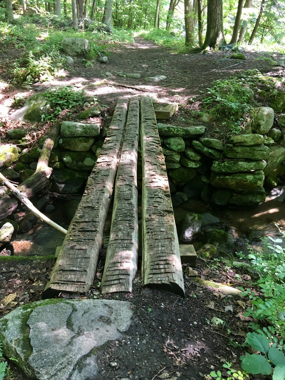 Bridge crossing Stony Brook In this vicinity there was a good view of the Housatonic River, which the trail has been following for a bit now. 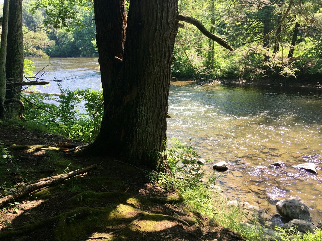 Housatonic River Around 11AM I reached a point where the AT skirts a farmer's fields for about 3/4 of a mile. By now you should know how many pictures I can make of a nice field. Here's just a sampling of what was captured while traversing the field. 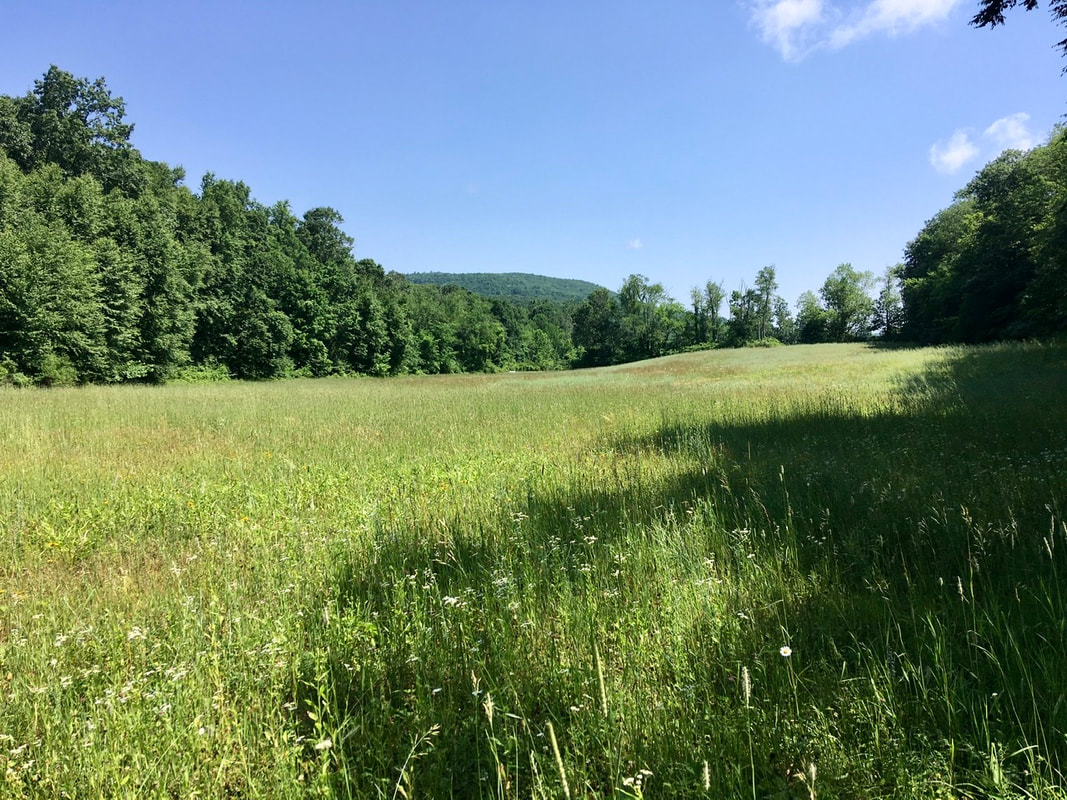 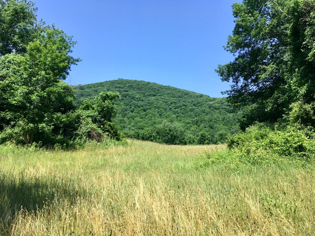 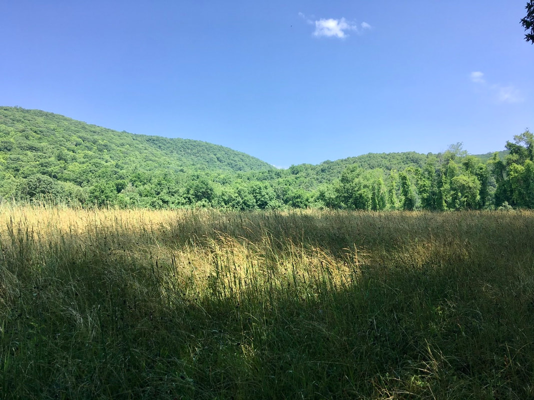 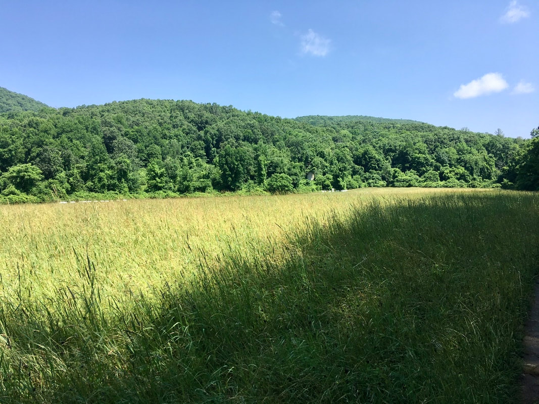 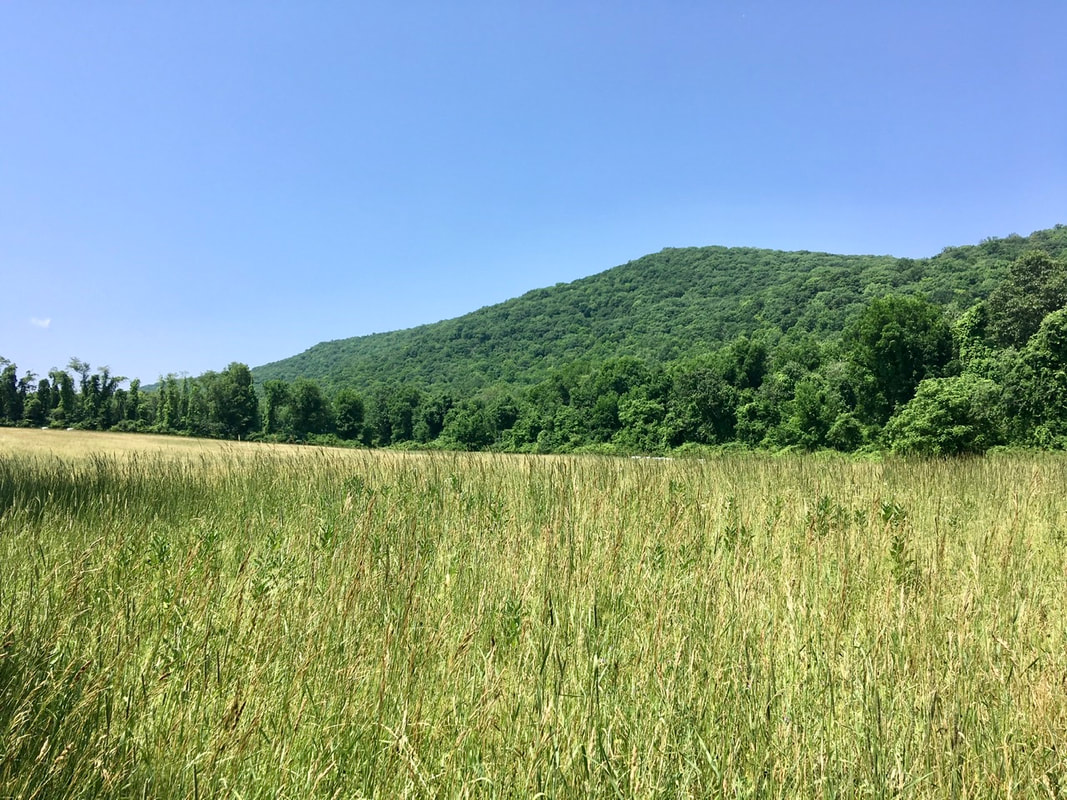 At one location in the field I found a thicket of black raspberries. I REALLY wish the fruits were better developed. I would have had a nice addition to my diet today! But as they're not yet ripe I'll leave them for the next lucky hiker (or other hungry animal) to enjoy. 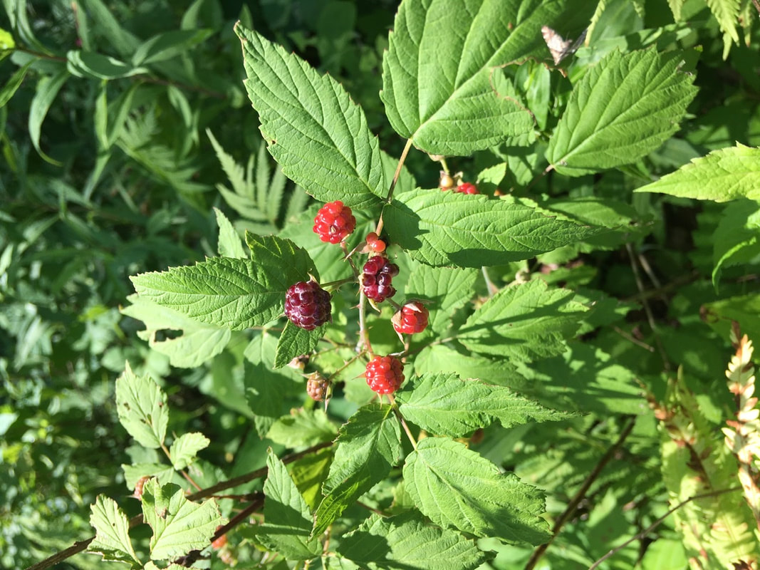 About a mile north of the field there's a mini view through the trees. Certainly nothing spectacular, but a glimpse of the surroundings should always be savored when in the green tunnel.  On the way down from the local maximum that produced the obstructed view, I passed a couple of section hikers out completing the CT section of the trail. One of the two ladies reminded me that we'd met before. It was on T+30. I briefly stopped to chat with them, but the conversation was interrupted by the dad who stayed at Telephone Pioneers Shelter with me. The thing that jogged my memory of the interaction was that one of the ladies has the same hiking poles as me. Shortly after that encounter, I arrived at the intersection with Old Sharon Rd. Now, I don't know why the muckety mucks in Connecticut have to go besmirching my aunt like that. Neither she, nor her older sister, is a day past middle age in my book. Also, this is probably not the glorious namesake that my aunt would want memorializing her, though it does come with a handy hiker compass. 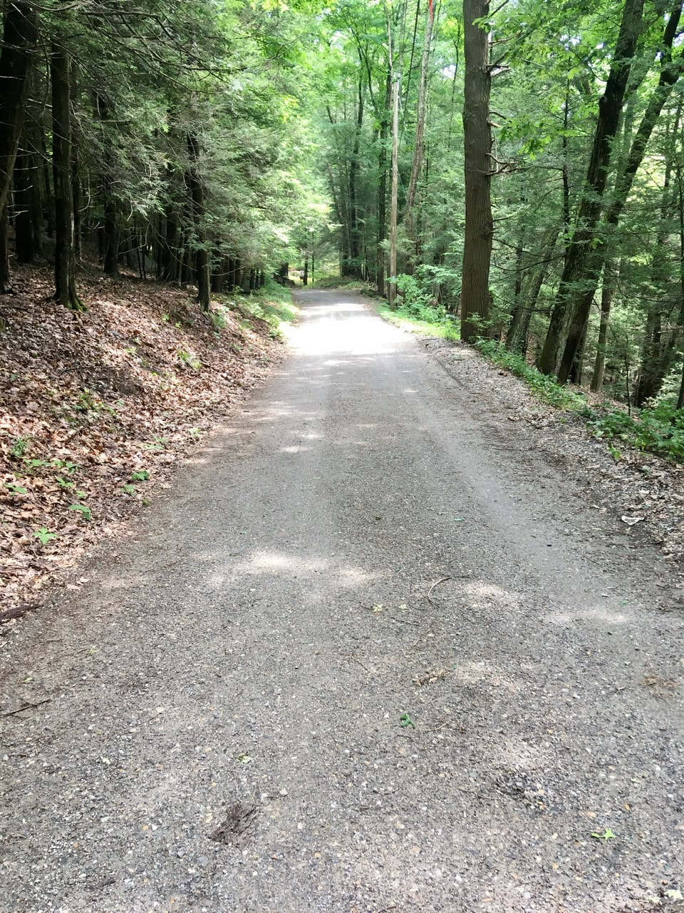 Old Sharon Rd. 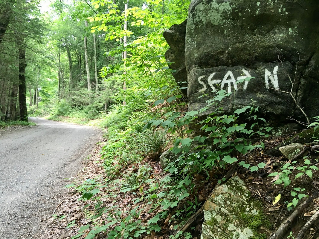 AT junction with Old Sharon Rd. Somewhere near the intersection with Old Sharon Rd. I noticed this fine fun guy. For most interesting organisms I take the time to use the SEEK app to help me identify them on location. Unfortunately, there was no cell reception there, so identification waited until I'd reached camp. Only then did I discover that I'd passed up an opportunity to sample some Chicken of the Woods. Oh well, next time I'll know what I'm looking for and may cut off a portion.  Doesn’t look like chicken to me  Nope, that angle is no better at showing the avian qualities of this fun guy A mile and a half of climbing up from old Sharon Rd. and one is rewarded with a nice view point. In my book, a sea of trees >>>> no views after a climb. 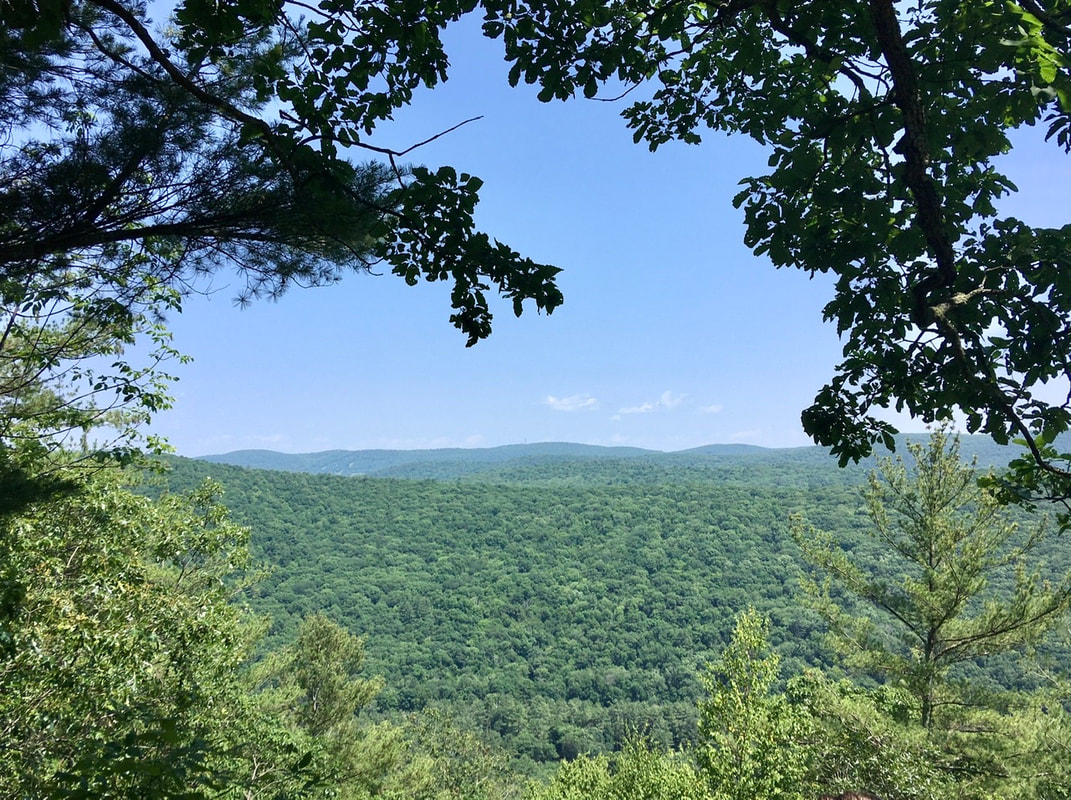 After three miles of mundane hiking, I reached Cares Brook. I must have missed in the guide that this is the outflow from a beaver pond. (It didn't say anything about this...) I had hoped to fill up my water bottles here, but I noped out of that (as the kids say). Unfortunately, beaver dams are hard to photograph. It's really hard to convey scale in the pics. This one was about 20 feet wide and a boot 4' tall, which means that it is thick to be able to withstand the force of all that water. A beautiful piece of engineering!  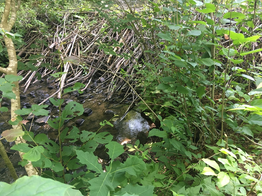 About a half mile north of the beavers, the trail goes in between a boulder that's split down the middle. The guide said hikers may have to take their packs off to go through, but I had no problem getting through whatsoever. 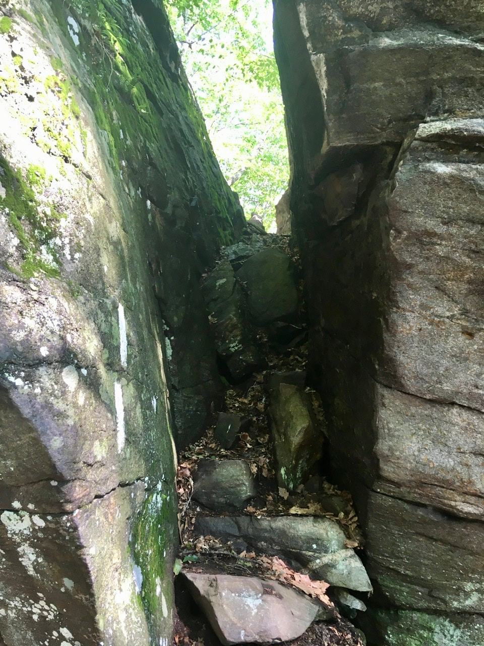 Approaching Split Rock 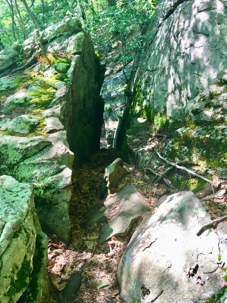 Split Rock from the other side Immediately after that is a decent little view. Always nice to end the day with a view!  That brought me to Pine Swamp Brook Shelter around 5:15. I was the first one there, so chose the teat site furthest away from everything. While setting up several other hikers had stopped in to camp. I met them on my way through to filter some water. It was the two young women from this morning (they did say their trail names, but I've forgotten them) and a guy, Waldo. Apparently, the women have been traveling together for about 1000 miles and around when they started hiking together was the last time they'd seen Waldo. But, they finally caught up to him all this time later.
1 Comment
Kate Brown
7/13/2020 09:19:33 pm
Nope, not a day past middle age. In fact, I believe that starts around 75? I'll let you know when that happens. :) Trek on! Leave a Reply. |
About Me
Archives
July 2020
Categories |
 RSS Feed