|
T+39 (July 7, 2020) Navigation Report: Start point: Berkshire South Regional Community Center (mile 1523.8) Target Destination: North Mt. Wilcox Shelter (mile 1537.3) Travel Log: 7:00 Break Camp (mile 1523.8) 8:15 Back on AT (mile 1523.8) 8:45 Boardman St. (mile 1525.1) 10:05 Ledges (mile 1527.6) 1:40 MA Route 23 2:45 Blue Hill Rd. (mile 1533.5) 3:30 The Ledges (mile 1534.8) 4:40 Pond (mile 1536.6) 5:20 North Mt. Wilcox Shelter (mile 1537.3) Daily Mileage = 13.5 Total Mileage = 388.1 Commander’s Report: Grimm and I got off to an early start for the day, breaking camp at 7AM. Of course, we then walked to McDonald's to get breakfast and wait for the shuttle. On the way, we collected our portable battery packs from the business where we left them plugged in overnight. I've got my new Dr. Scholl's insoles for my boots. I hope they provide more cushioning than the originals did! (They seem to do so, so far...) We shuttled with a guy named Jim. He's been shuttling hikers in the area for several years and resupplies a water cache at Route 23 for us hikers. Thanks Jim, much appreciated! We ended up back on the AT at 8:15, a bit later than we had hoped but not bad. The beginning of the hike is generally a long flat ground adjacent to the Housatonic River. After about a mile at that, the trail turns and follows a road past farmers' fields before it crosses Boardman St. and reenters the forest. Right before Boardman St. is this huge solitary tree that I got enamored with, so took this picture. It didn't come out terribly well though, which is unfortunate. 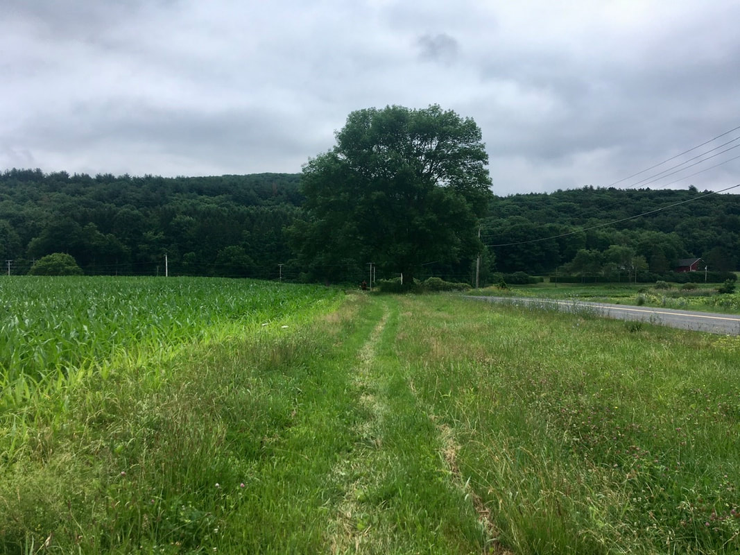 For this first mile and a half Grimm was hiking ahead of me. But as soon as the trail reentered the woods it goes straight up and my dining legs are better than his, so I passed him. Actually, I left him in the dust and didn't see him again until lunch time. After two and a half miles of climbing, there is a nice view point: a big rock ledge. The rock itself is quite impressive, so let's start there as its what you first see upon approaching. 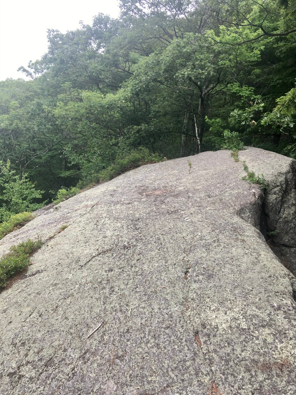 The views were nice off to the Southwest (Sheffield / Mill Pond area). The day was a tad overcast for high quality pics, but I'm not going back for more!  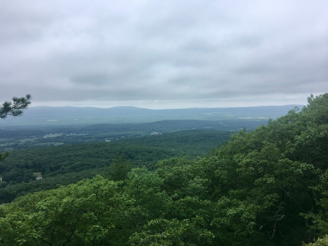 Grimm caught back up with me after the viewpoint, but before Tom Leonard Shelter (mile 1530.2). We ended up lunching at the shelter and he was reading the log book trying to figure out how far ahead of us some of the other thru-hikers he knows are ahead of us. I've never found value in such exercises, but to each their own. After the shelter, Grimm and I more or less traveled as a duo. He's faster on the downhill, but I'm faster on the uphill. As most of the day's hiking consisted of small downhills and fairly gradual uphills, neither of us was able to pull away from the other. So, we stuck together and chatted. At lunch, Grimm was talking about Chicken of the Woods. Funny thing is that when I went off trail to pee in the afternoon I spotted this tree covered in the stuff. Of course, I didn't take Grimm to the "bathroom" with me, so he missed out on spotting them.  Just after Blue Hill Rd., the trail cuts behind a farmer's field. There was an opening in the trees, so I snapped a pic or two. 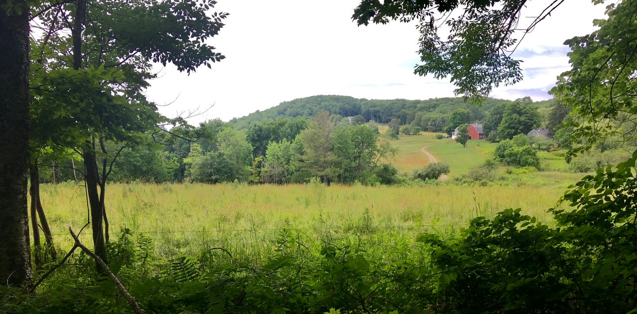 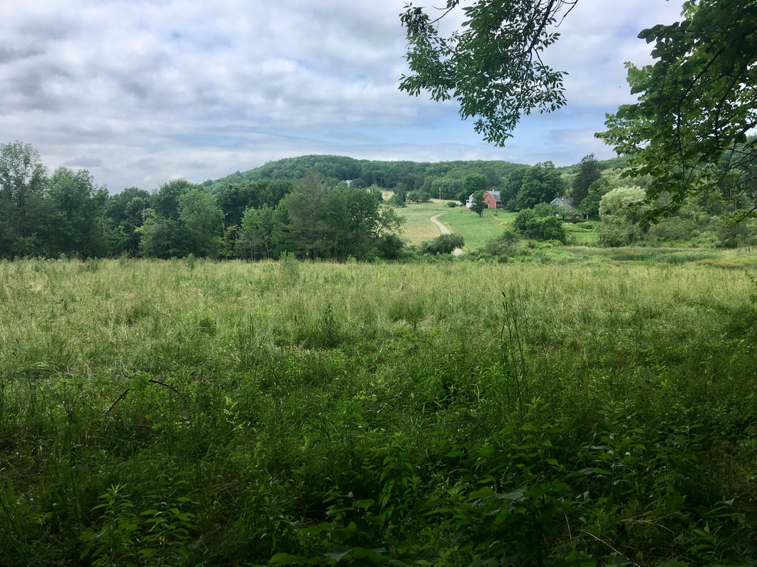 After this, I was firmly in the middle of the yoyo portion of the day. Up and down, up and down over Mount Wilcox. About a mile into this portion is "The Ledges" a nice viewpoint with views of the sea (of trees). 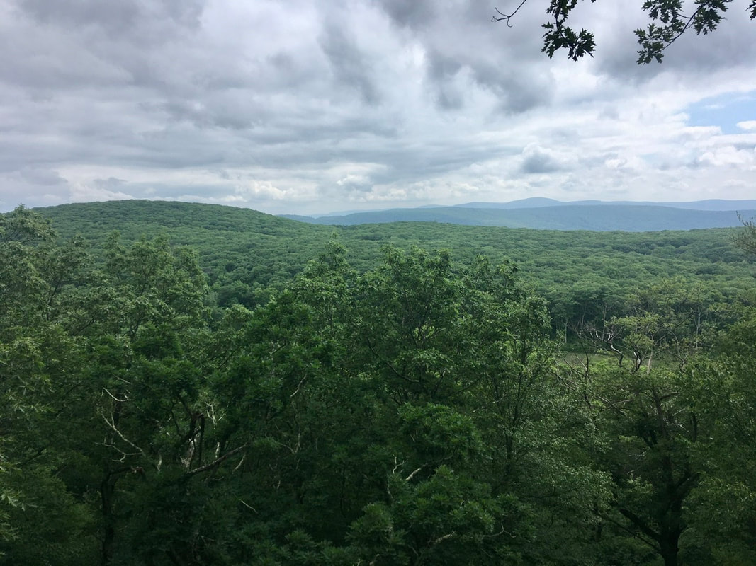 A mile and a half up the trail (two downhills and one up hill later) the trail crosses the outflow stream of this pond, Swann Brook. I love how the lighting makes it appear as if the pond is hiding in the shadows. 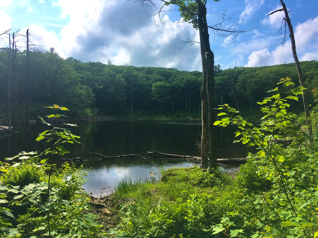 About a mile north of the pond is the shelter. It sits about 0.3 miles from the trail and by the time we reached the shelter I was totally done with hiking for the day. On the way to the shelter I spotted these flowers. I’d never seen them before, but they’re pretty and delicate looking little things. Anyone know what they are? I'm unable to use my identification app at the current time.  Finally, Grimm got to see some Chicken of the Woods. At the shelter is a stump that has a patch of the stuff. Surprisingly, it looks like only a few fellow campers have taken slices off of it for dinners. We decided to leave it for future hikers to enjoy. (And I didn’t take a pic, to help ensure the secrecy of its location.)
1 Comment
Kate Brown
7/17/2020 10:17:06 am
I recognized this family of flowers because Grandma brown had them growing behind their house. She called them sweet peas and Google indicates they are called marsh peas Lathyrus palustris. Whatever you call them they have always been a favorite, along with lilacs. Leave a Reply. |
About Me
Archives
July 2020
Categories |
 RSS Feed