|
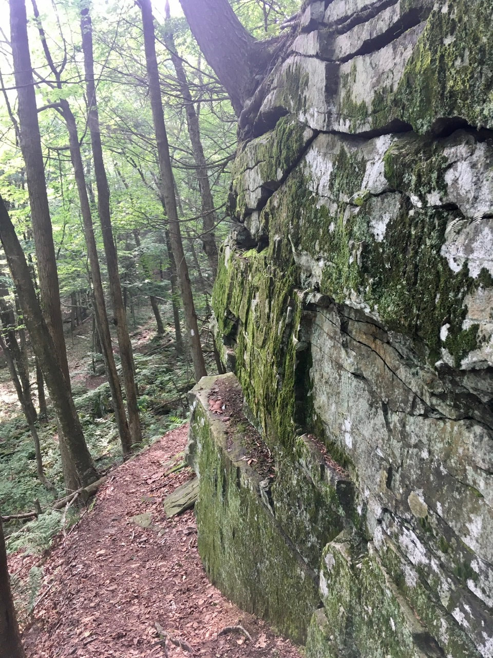
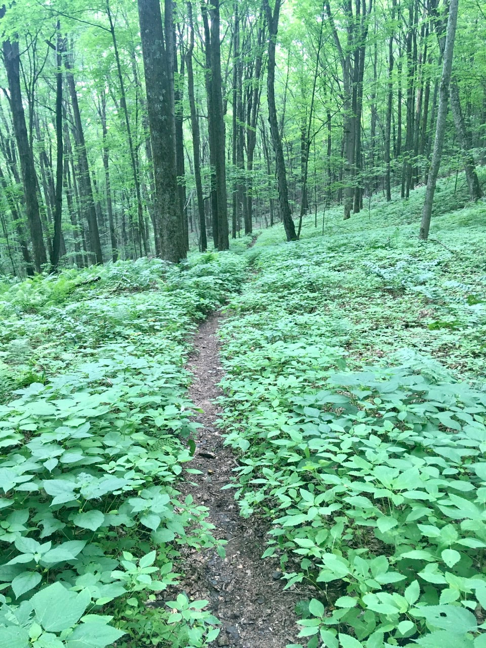
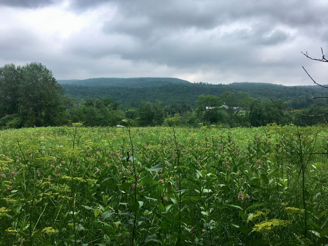
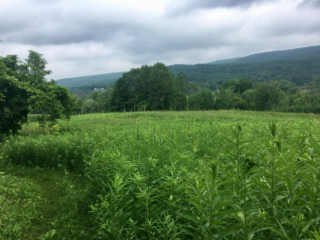
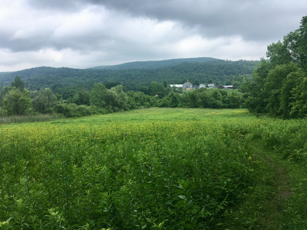
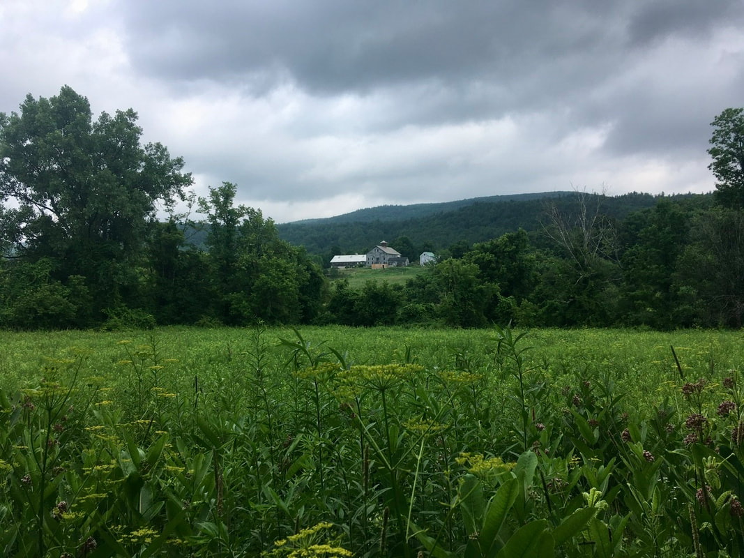
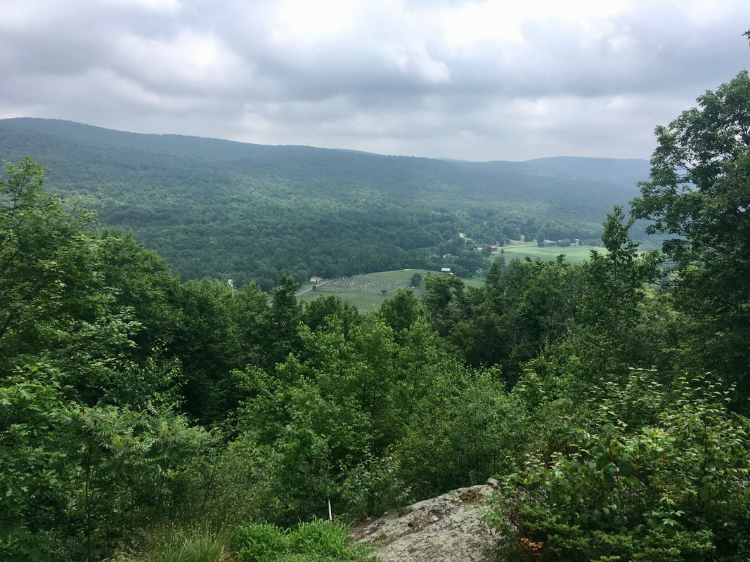
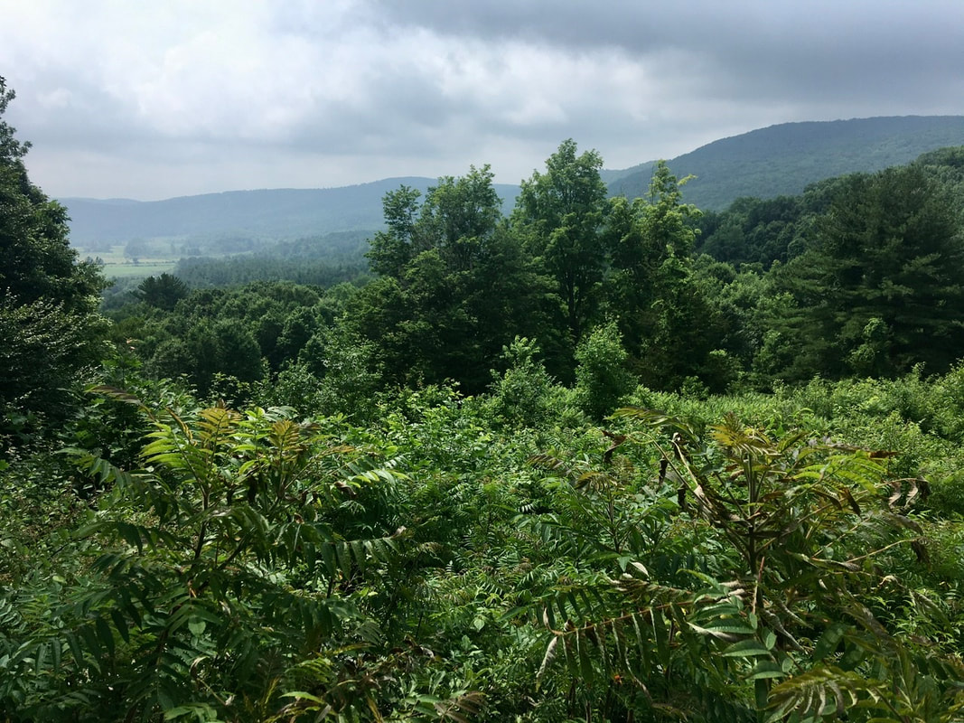
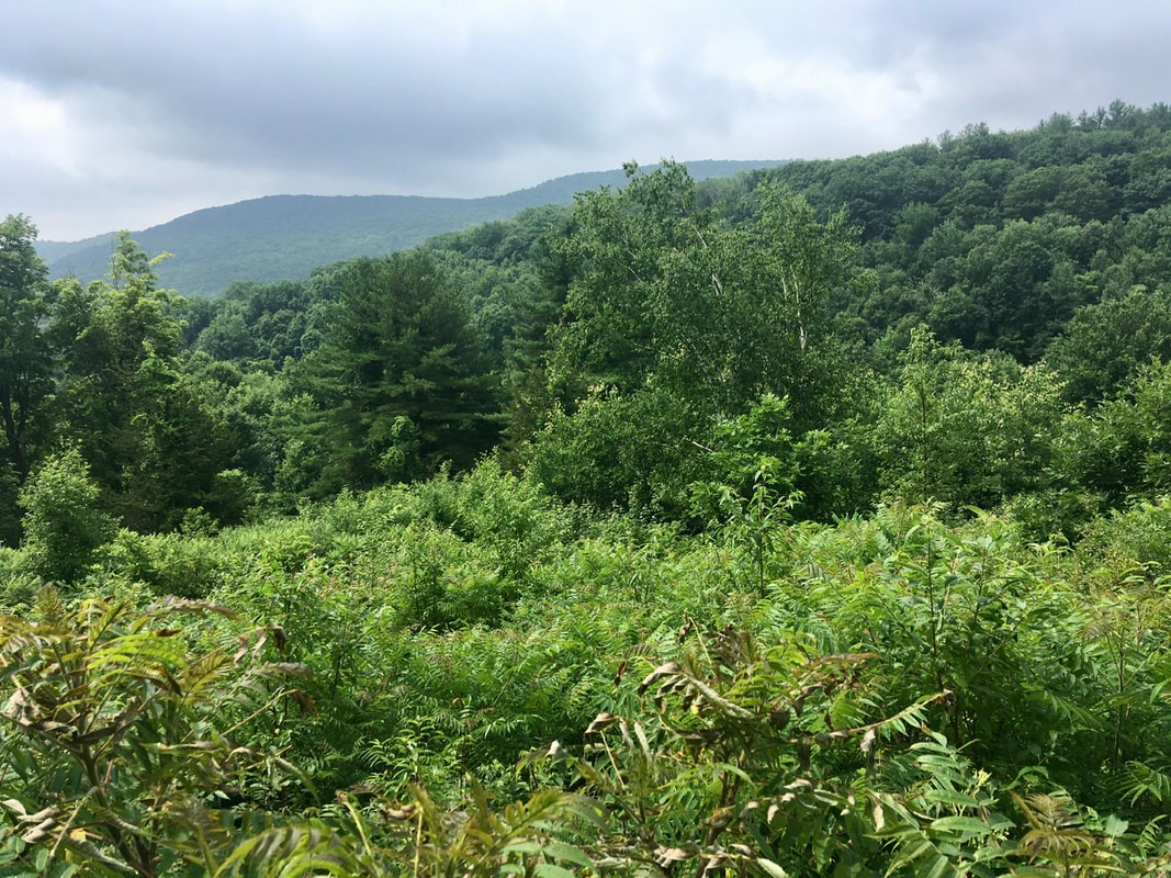
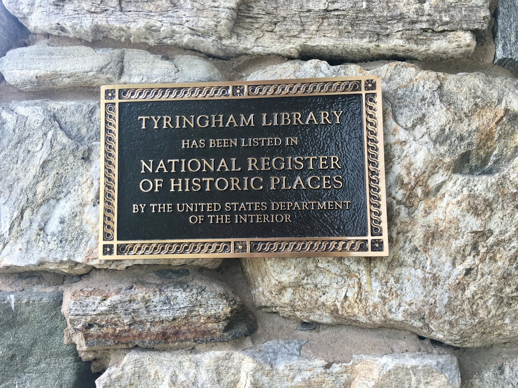
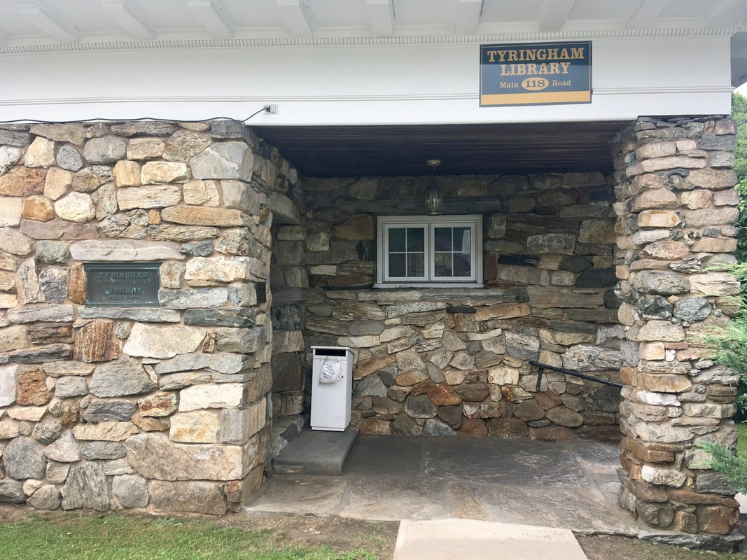
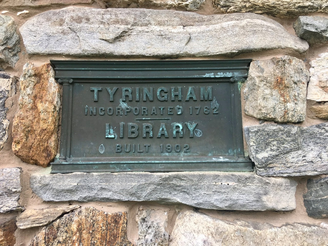
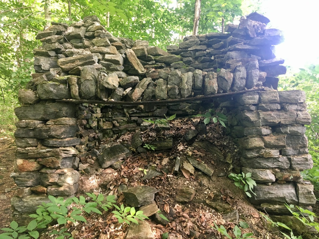
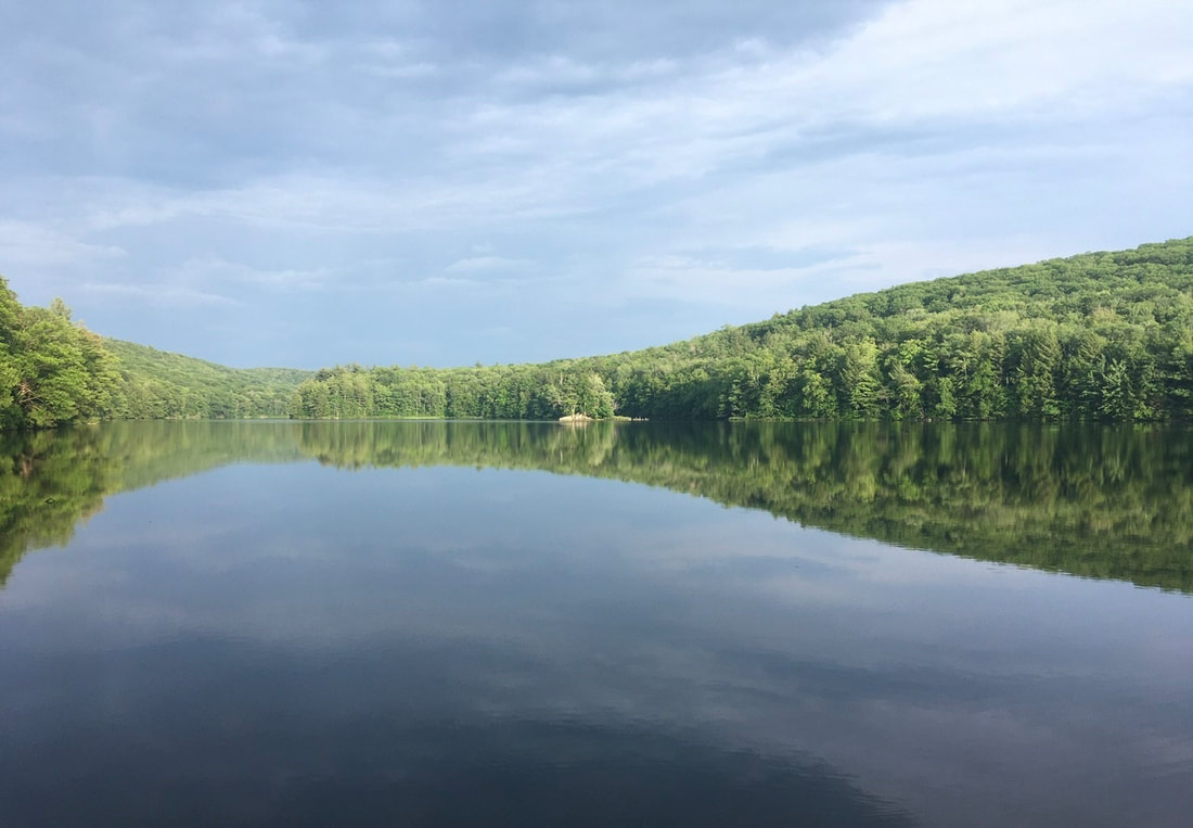
T+40 (July 8, 2020) Navigation Report: Start Point: North Mt. Wilcox Shelter (mile 1537.3) Target Destination: Upper Goose Pond Cabin (mile 1551.5) Travel Log: 8:00 Break Camp (mile 1537.3) 8:30 Bear town Mountain Rd. (mile 1538.2) 10:15 Shaker Campsite (mile 1541.5) 10:35 Gas Line (mile 1541.7) 11:05 Tyringham Cobble (mile 1542.9) 11:25 Jerusalem Rd. (mile 1543.4) 11:45 Tyringham [RESUPPLY] (mile 1543.4) 1:00 Main Rd (mile 1544.4) 4:55 Upper Goose Pond Cabin (mile 1551.5) Daily Mileage = 14.2 Total Mileage = 402.3 Commander’s Report: Today is a resupply day for me. I have a package waiting for me at the post office in Tyringham, MA. Because of this, I got an earlier start to the morning and actually made it out of camp at 8AM. Grimm beat me out of camp by about an hour. He was targeting October Mountain Shelter for today, which would make for a 23 mile day. I know that's not possible for me with resupply, so I am targeting the first shelter past Tyringham. This still makes for a 14 mile day (excluding resupply). The first couple miles of trail are gentle downhills or largely flat, so I made good time here. After about 3 miles, the trail descends steeply into Fernside Rd. (mile 1541.2) and Shaker Campsite. During that initial gentle downhill, the trail passes first a giant boulder and then traverses an area with beautiful, lush undergrowth. The trail passes immediately adjacent to the boulder, so it appears as a sort of wall as you pass. This segment of trail looks like it was cut and pasted from a movie. It's just so striking visually. The forest cut for a gas line provided the first views of the day. Here's the pics I captured from that stretch of trail. Following this is a 450' climb up to Tyringham Cobble viewpoint. While the views are partially obstructed, there is a nice view down to Tyringham. The town cemetery is prominent in this view. The other views from here tend to be the "sea of trees" type of view, which are so common out here. After the Cobble, it was down to Jerusalem Rd., then left into town. According to the guide, the post office's hours are 8-12; 4-5:30. I arrived just in time to beat closing at noon. However, the guide is wrong, the hours are 8-2; 4-5. So, I had more time than I thought to make it there. I had no problems obtaining the package. The contents were repacked in about 30 minutes and I was ready to get back on the trail. First, I had to take some pics of the library here. The old stone building is on the register of historic places. It now houses both the post office and library. After Main Rd., the trail ascends about 1000' and bounces up and down by a couple hundred feet at elevation until the Upper Goose Pond Cabin. Not much to see in this part of the journey though. On the trail to Upper Goose Pond cabin is this plaque commemorating the former private club that was responsible for developing the area and which turned over control of the location to the Forest Service in 1982. Thus, us hikers have use of a huge cabin (well, not during the COVID times...) and two docks on the pond. Sorry, I forgot to take pics of the cabin itself, but take my word for it the thing is huge and impressive for a trail shelter. The private club did leave behind the ruins of an old hearth. I fear its no longer usable though. The views of the pond are quite nice as well. Looks like any glacial pond you can find in the region, but I never grow tired of such views. Also, I met Grimm in camp after I arrived. Turns out he struggled all day and cut his planned hike short.
0 Comments
Leave a Reply. |
About Me
Archives
July 2020
Categories |
Site powered by Weebly. Managed by Hostgator
 RSS Feed