|
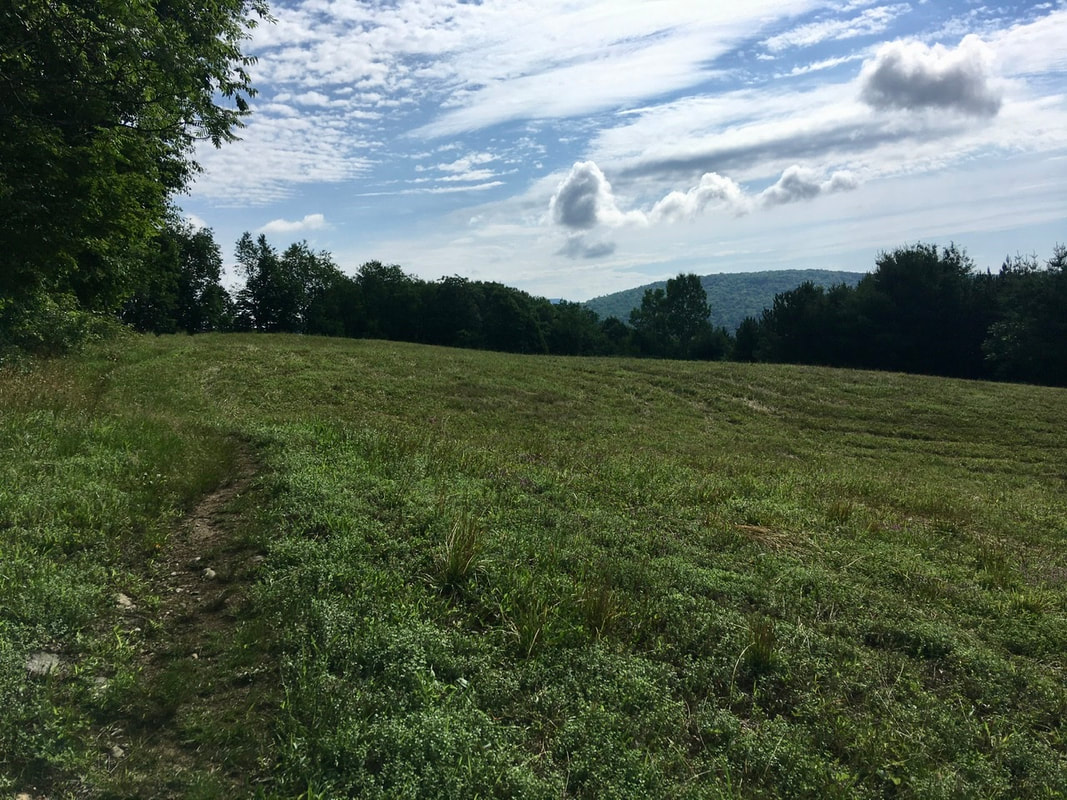
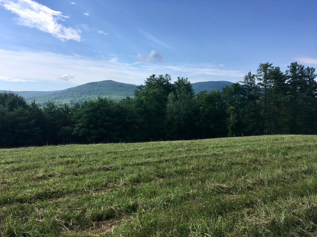
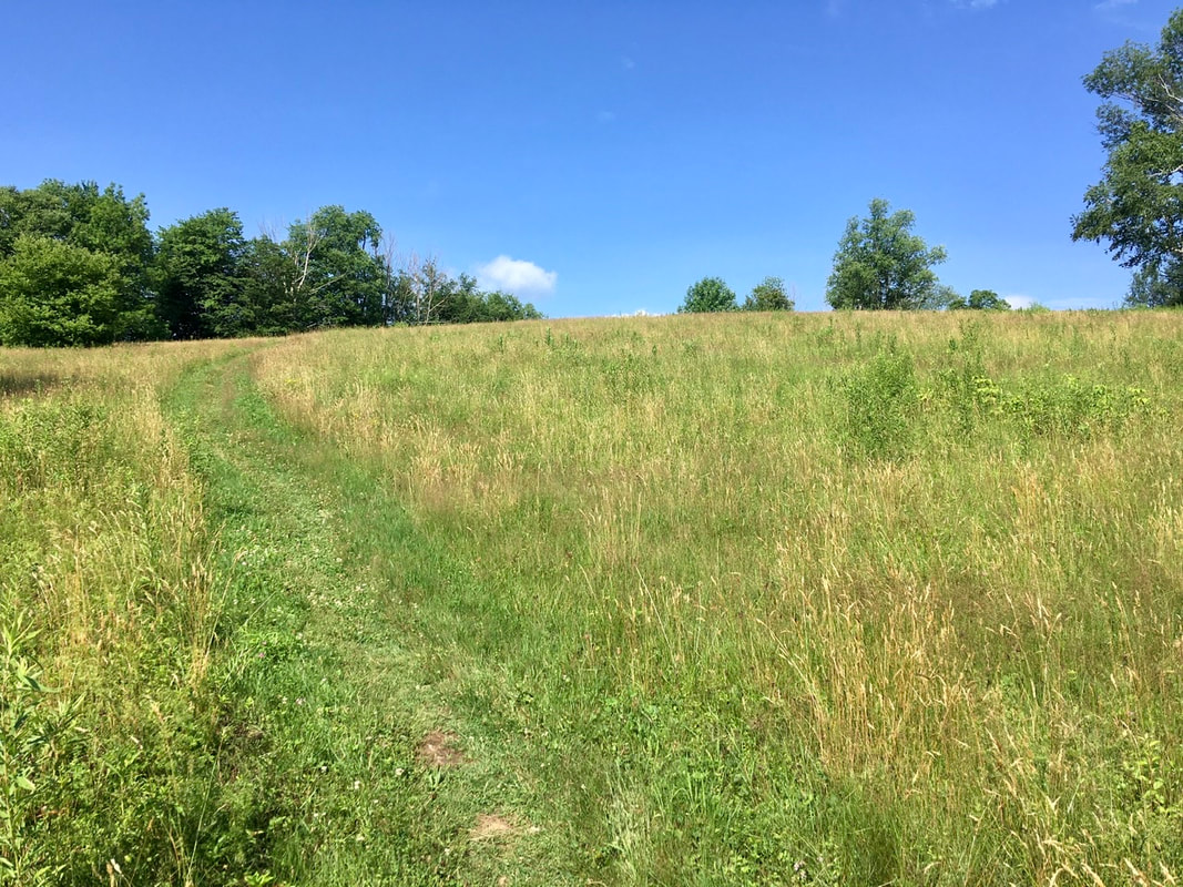
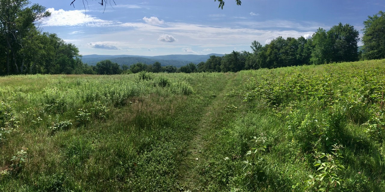
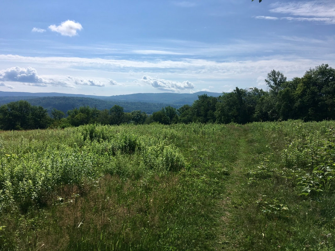
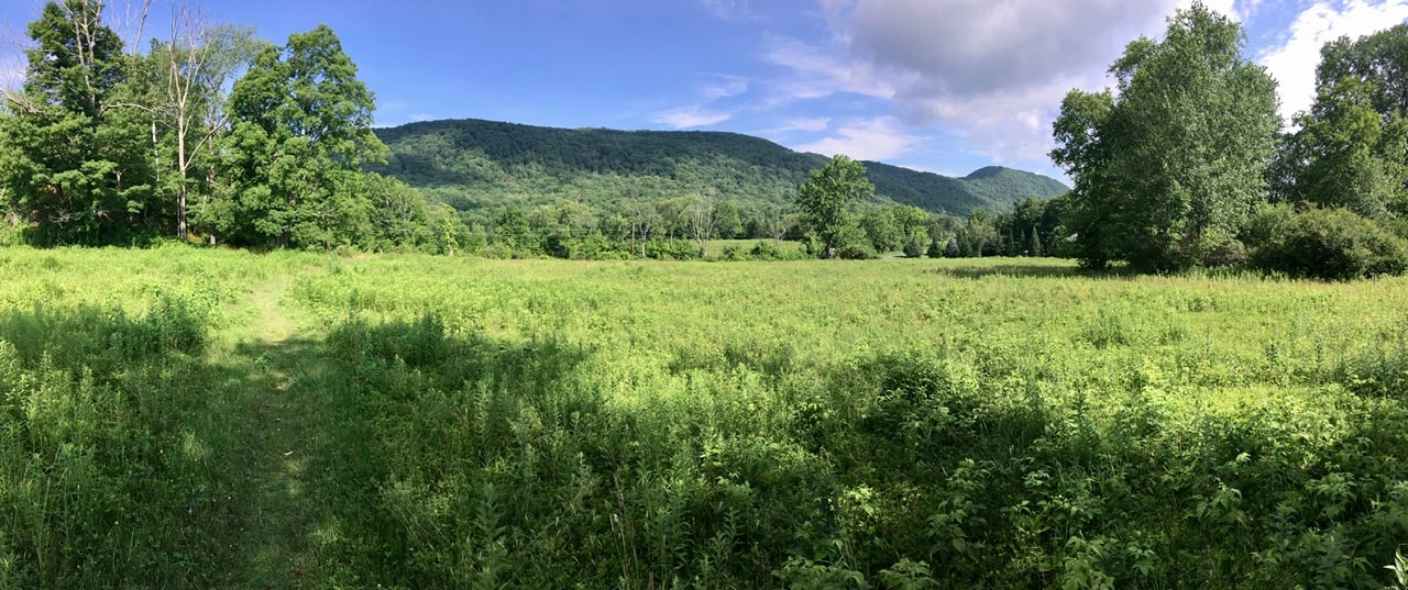
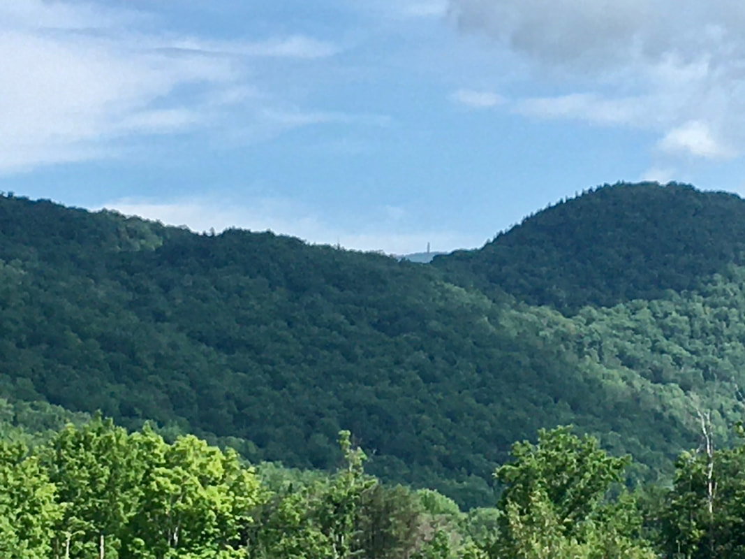
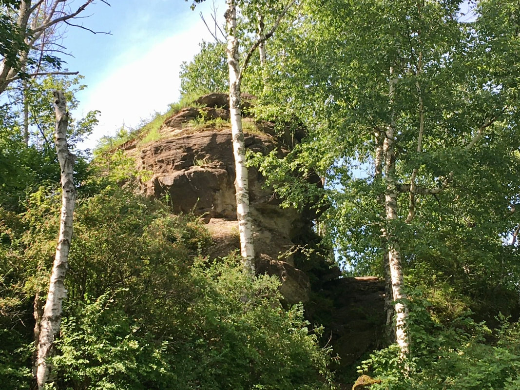
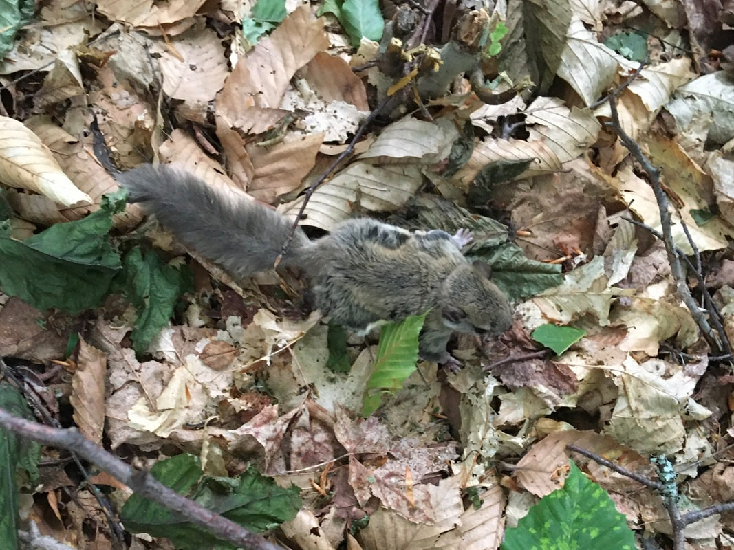
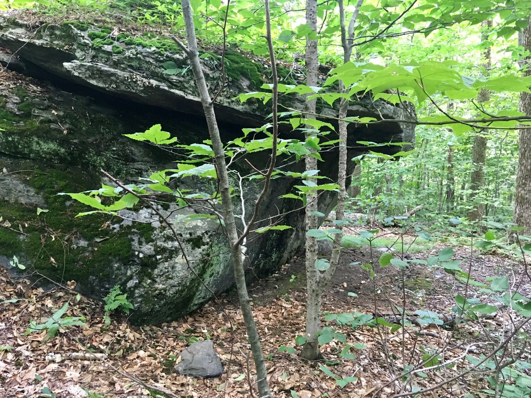
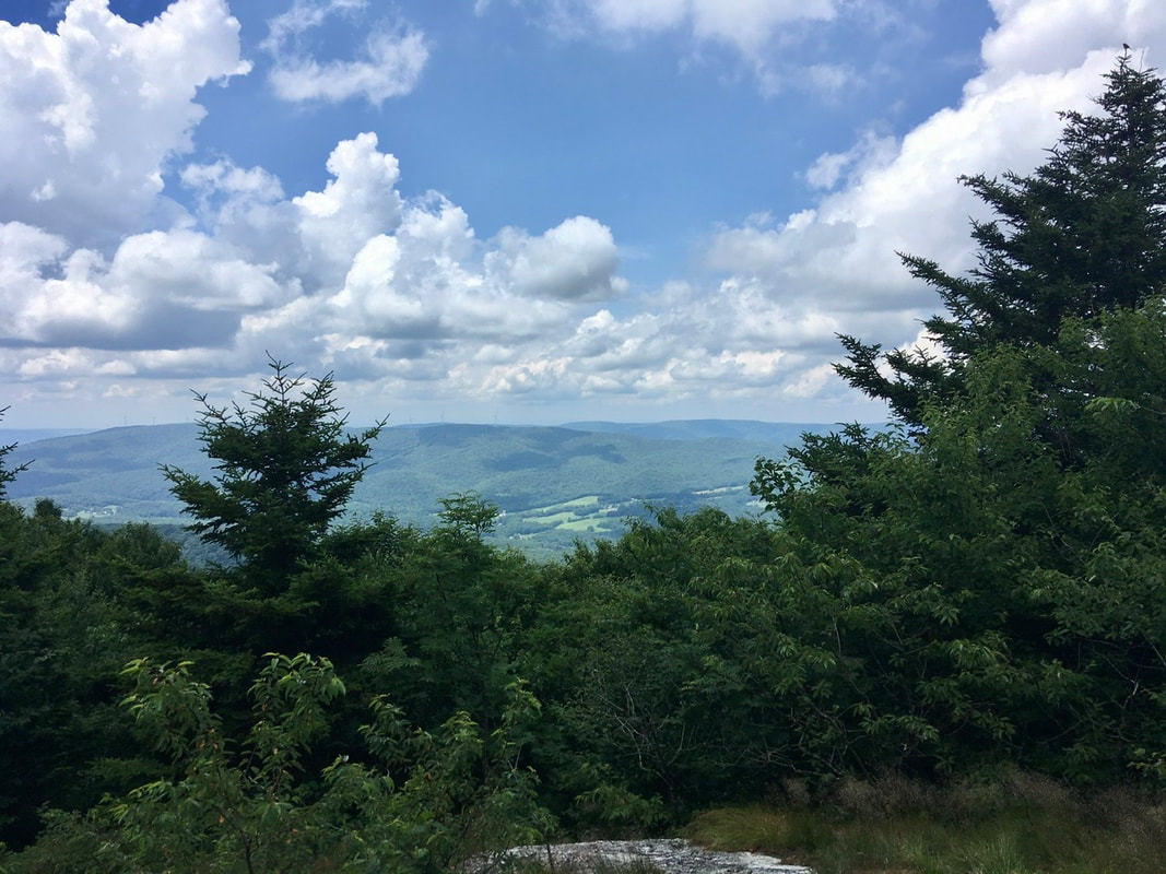
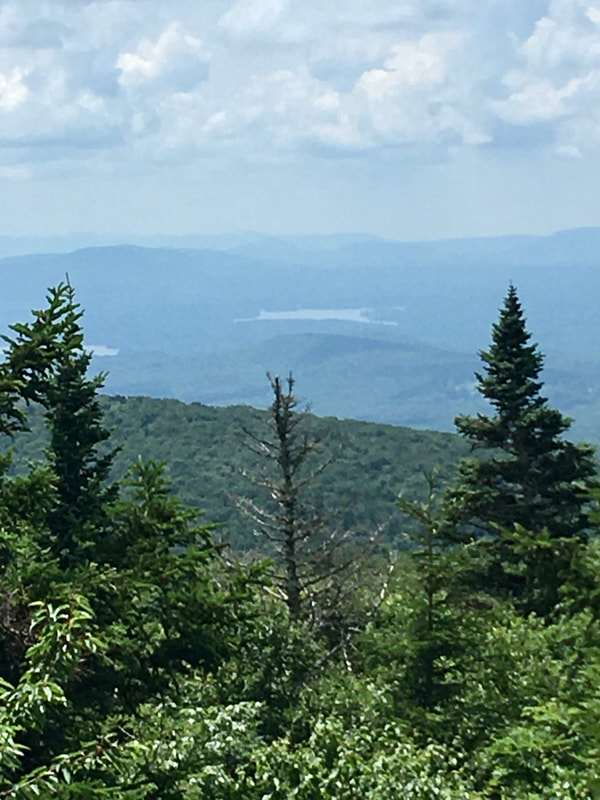
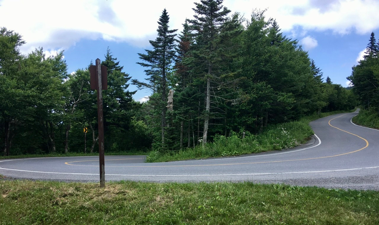
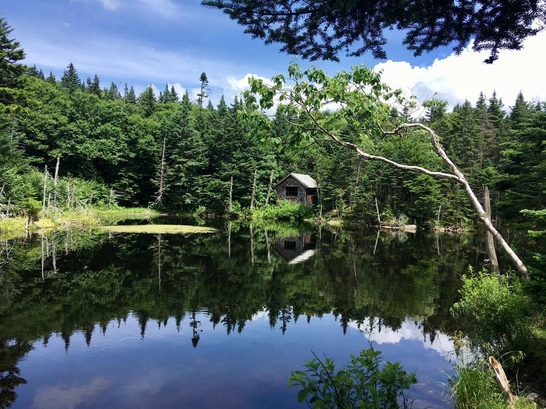
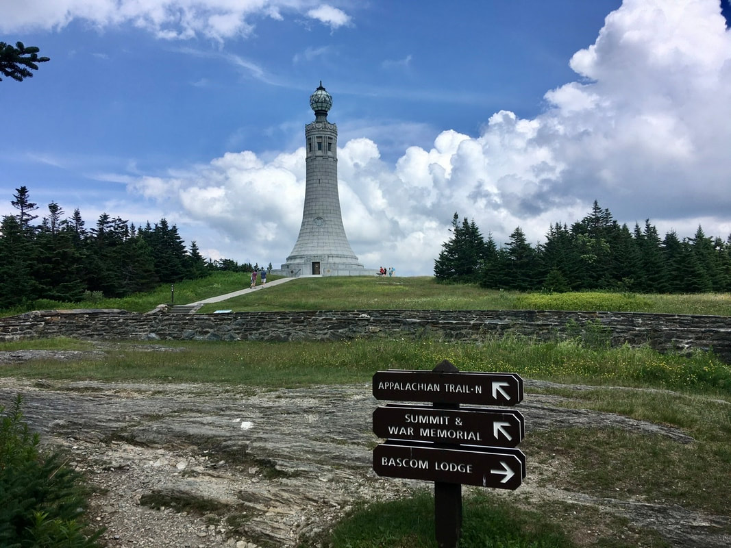
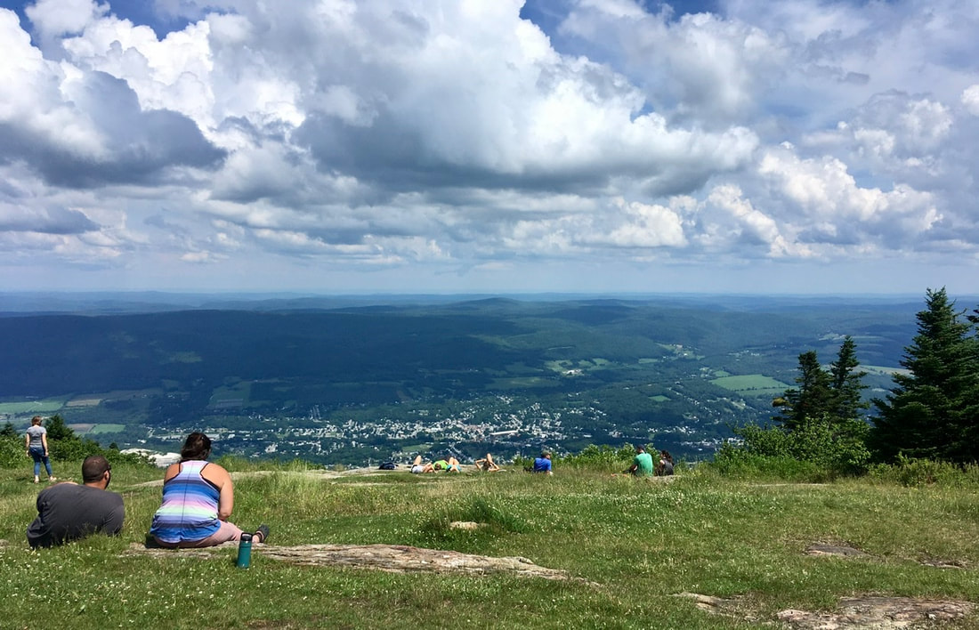
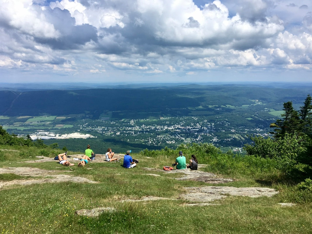
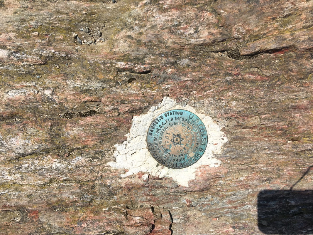
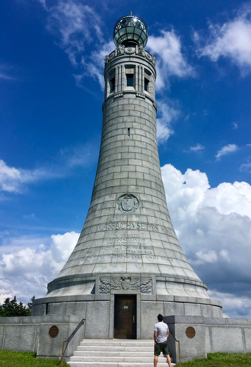
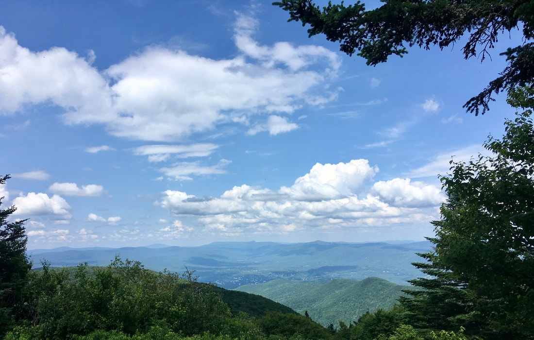
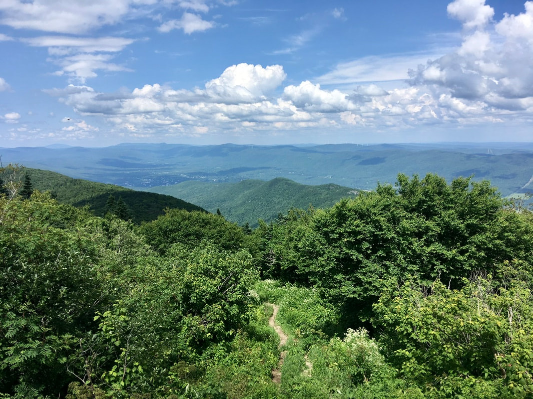
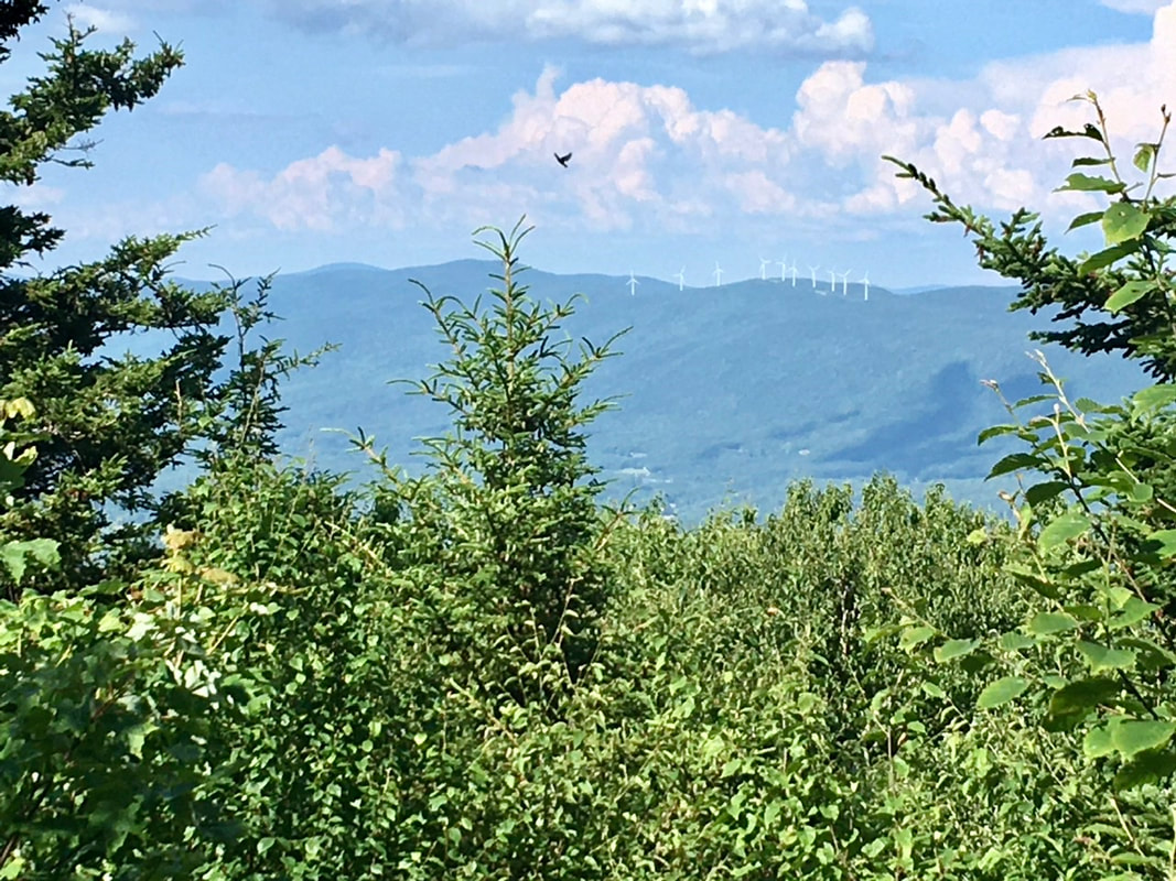
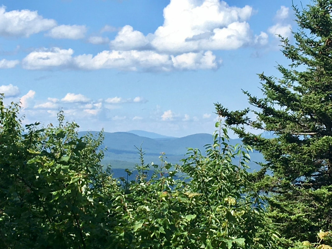
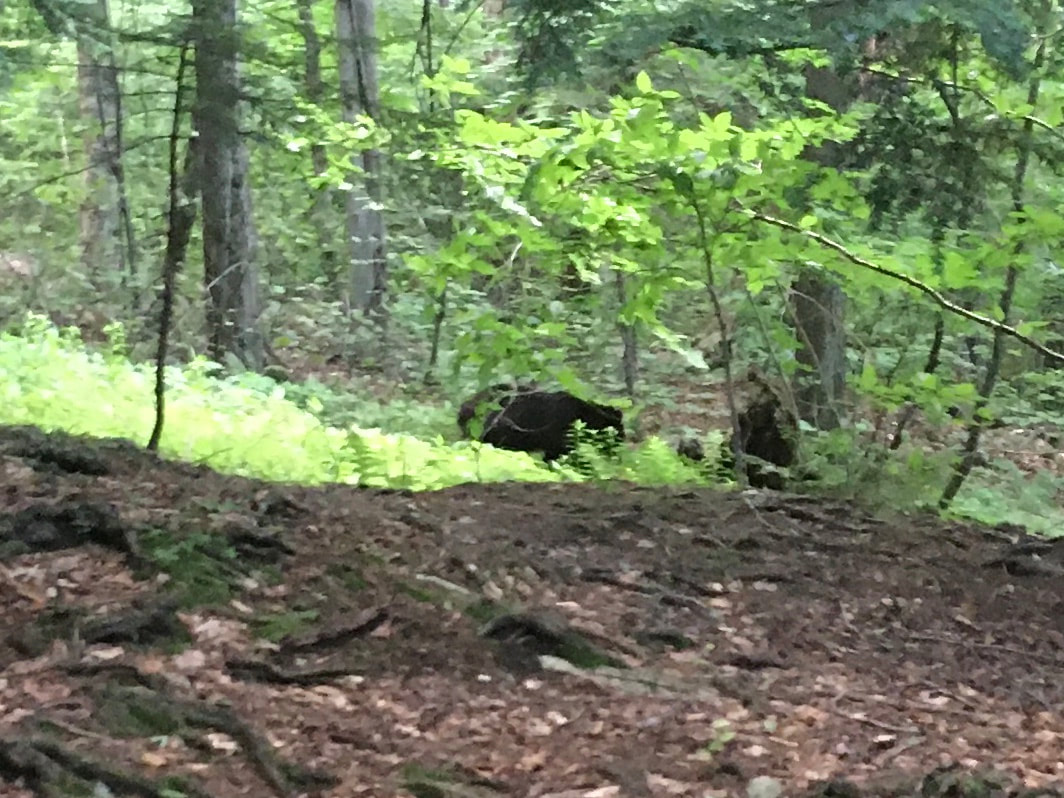
T+45 (July 13, 2020) Navigation Report: Start Point: Cheshire thru-hiker Camp (mile 1580.8) Target Destination: Wilbur Clearing Shelter (mile 1592.4) Travel Log: 9:00 Break Camp 9:20 Meadow (mile 1581.6) 9:35-9:55 Meadow (mile 1582.1) 10:00-10:10 Huge Ass Rock Side Quest (mile 1582.1) 12:00 Mark Knoepel Shelter (mile 1585.8) 12:20 Jones Nose side trail (mile 1586.4) 12:35 Jones Nose overlook 2:05 Rockwell Rd (mile 1588.1) 2:20 Pond (mile 1588.6) 2:50 Mt. Greylock (mile 1589.1) 3:05 Thunderbolt Shelter (mile 1589.2) 4:40 Mt. Williams (mile 1591.4) 5:05 Notch Rd. (mile 1592.2) 5:30 Wilbur Clearing Shelter (mile 1592.4) Daily Mileage = 11.6 Total Mileage = 443.2 Commander’s Report: I slept terribly last night. There was too much light and noise pollution at the in-town camping location for me to get a good night's sleep. It was similar at Tom’s, but at least I was more in the dark there. Oh well, I'll be back sleeping in the woods tonight. Started the walking at 9 this morning. I'd hoped for something a bit earlier for a starting time, but 9 is not terrible. The beginning of the hike this AM takes me through Cheshire. As opposed to some trail towns, the trail through Cheshire largely avoids the main streets. After the trek through town and a short climb in the woods, the trail passes through two fields, labeled as meadows in the guide. In these fields there was some nice sights of the surrounding hills and mountains, so of course I took too many pics. Here's a few of them. You can even see the summit of Mt. Greylock from here! OK, from that pic you probably can’t. Let’s zoom in on the gap in ridge line off to the right. Can you see the monument on Greylock’s summit now? Right after the fields is this gigantic boulder. It seems many people have climbed it and it may provide some interesting views. So, I decided to go up and see for myself. Unfortunately, there weren't so many views from up there as the trees were in the way. Oh well, worth a shot. After the "meadows" there was a lot of walking to be done before the next purty view. During that walk, I passed a flying squirrel on the trail. It had a severely injured right hind leg. I thought long and hard about picking it up and bringing it to an animal rescue place, but decided against it. I figure it might become breakfast for a fox or raccoon, thus completing the circle of life. Just a little ways after seeing the flying squirrel, there is this boulder adjacent to the trail. The way it is positioned makes it have a nice overhang which provides protection from some of the elements. So, I hereby bequeath the name "Shelter Rock" to this boulder. About a mile north from that is a trail junction with Jones Nose trail. Supposedly, there's a good viewpoint about 0.3 miles down that trail. I decided that 0.3 miles isn't too far for a picture, so wandered down that way. It was a VERY steep 0.3 miles (it felt like more) down, and unfortunately the views weren't really worth THAT type of effort. After lunching at Jones Nose overlook, I got back to the AT. The next thing of note was the crossing with Rockwell Rd. This is the road that goes up to the top of Mt. Greylock and the AT crosses it three times during the ascent. The first of these happens at a switch back on the road. I think it makes for a nice picture. Just a half mile after this crossing, the AT passes a pond. It's quite a lovely little pond, complete with cabin and everything. Don't you think? After the pond, it is a short walk up to the Summit: I was here for my "warm up" hike in December, so I didn't go overboard with pics. Here's the memorial from afar. Approaching the monument from this direction takes you post a bronze topographical reconstruction of the mountain with all of the trails indicated. There's A LOT of trails on this mountain! (Sorry, the pic came out terrible.) Here's a couple views from the summit. Just as you are coming down from the peak (headed north) you are treated with some nice views. I almost prefer these to the summit. There's just something about having so many people around and in all of the pics that I find very unappealing. About two miles north the AT summits Mt. Williams, a shoulder peak of Greylock. The summit is covered with trees, but I still managed to get some pics that were appealing - in spite of the general lack of views. The first being of a wind farm (and bird flying in the foreground). Those were the last sights of the day. After that, it was just a couple mile walk down to the shelter, dinner, chores, and bed. While cooking and eating dinner, I chatted with the other hikers at the shelter, Taill Spin, Gray Man, Mage, and a guy whose trail name I missed. There was also a person in a tent who didn’t interact with the group of us. After dinner, I walked the 200 yards over to the stream to filter some water. In the process of filtering, I heard what sounded like someone eating in my general vicinity. When I looked up I spotted this fantastic beast. It b early moved when I made noise, instead it stayed focused on eating its dinner. I took this pic, then walked slowly away so as to not disturb it. I made sure everyone in camp know about it before heading to bed, so they'd be sure to use the bear box. We had no other interactions with the bear that night.
0 Comments
Leave a Reply. |
About Me
Archives
July 2020
Categories |
Site powered by Weebly. Managed by Hostgator



 RSS Feed