|
T+9 (Mar. 27, 2020) Section Itinerary: Start @ Hamburg (mile 1219.7) End @ Duncannon (mile 1150.9) Total Distance 68.8 miles Stop in Lickdale for resupply @ Love's Truck Stop (mile 1185.1) Navigation Report: Destination: Unknown. At minimum Eagle's Nest Shelter (mile 1211.2. Approx. 8.5 mile hike). Numerous tenting options further along. Real goal is to stay in a shelter tomorrow night (T+10), as it will rain all day tomorrow. Those options are: 501 Shelter (mile 1196.1) William Penn Shelter (mile 1192) Travel Log: Departed Hamburg, PA around 10AM. Arrive at AT trailhead around 11:15AM Lunch at 2 PM Pass Eagle's Nest Shelter (mile 1211.2) at 3:15PM Make Camp at Black Swatara Creek (mile 1206.7) at 6:15PM Commander's Report: I wanted to extract every ounce of value from the access to WiFi, so I stayed up late last night getting things onto the blog. In the end, I turned off the lights and went to bed at 2:30AM. My alarm was set for 8AM, but I awoke at 7.45. I left the iPad charging overnight, so switched to charging the phone while preparing for departure. Showered, packed, and ran to Wendy's for breakfast. Upon my return phone was at 98%, so unplugged that and gave the battery pack a final top up before departure. I got checked out around 10 and started the 3 mile walk to the trail heed. As I made additions to my gear it took a few stops along the way to adjust things for maximal comfort. Made it to the trailhead around 11:15 and everything switched from a nice walk in the park" to "scale a wall" very abruptly. The first several hundred yards I would describe as "nearly vertical" and this was followed by a half mile or so of "just" a steep incline. All told > 1000' of elevation is gained in just 0.5 miles. Unfortunately, perspective of elevation change is largely lost when viewing a picture, but I took one anyway. Bonus points if you can spot the second white blaze.  The climb out of Hamburg PA After the steep climb to elevation, the rest of the day was more or less a flat hike alternating between rocky terrain and packed duff of a hardwood forest floor. Decently easy going for much of the day, with frequent rocky reminders that I'm still in Pennsylvania. Something different today: I crossed multiple what are described as dirt roads in the guide book. They ranged from more of a forest clearing to "real" dirt roads.  Dirt road near Auburn Lookout  Dirt road near Eagle’s Nest shelter The first one is at mile 1218 and definitely fits the former category. Met a day hiker here headed in the other direction. Stayed there a while here so that I could call the IT help desk at my former employer and have them reset my password. While I was on the phone, another day hiker passed me in the opposite direction. The call took 15 minutes, plus a few more to actually change the password to something permanent. (Or as permanent as can be when they demand you change it more frequently than most people change their underwear!) Shortly after getting back on the trail, I met a third day hiker coming in the opposite direction. While I didn't speak to any of them, the day hikers must all have been returning from Auburn Lookout. It's only 0.4 miles from the dirt road and provided the only views of the day.  I left the overlook at 12:30 and had an uneventful afternoon hike. Didn't see any other hikers and made it to the Blue-blazed trail to Eagle's Nest Shelter around 3:15. 6.4 miles in -3 hours isn't gonna win me any speed competitions, but this is is a marathon not a sprint anyway. I stood at the trail intersection for a minute pondering and in the end I decided to push on. At this point, I am low on water so I need to either stop and filter some along the way, or stop at a campsite with water. The first campsite is 2.6 miles down, but has no water access. 0.9 miles after that campsite is a stream, but no campsite. 4.5 miles down however is a campsite with water access: Bleck Swatara Creek. I'm making for there. Made quick time to the first campsite and then the stream. When I got to the stream, I came upon a guy who had just started a fire about 50 yards from the trail. Immediately, I got bad vibes from the dude. Too many things seemed out of place. He had a giant German Shepard, which explained the huge doggy foot prints I had been seeing for the last several miles. But it was 5:30 and I didn't see any tenting equipment...on a night where the forecast calls for 100% chance of rain before sunrise. Plus he had on what seemed to be a regular cotton sweat shirt and some sporty khaki pants the exact nature of which I couldn't really discern at that distance. Either way, not great hiking / camping clothes when rain is involved. And the dog. The dog seemed quite aggressive: growling and barking, and straining the guy pulling on the leash. (At least he was leashed!) Definitely not a cuddly doggo, more in the vein of a Cujo. Too many things seemed wrong, so I quickly passed the stream by, even though I had thought of getting water here to save from the extra 0.5 mile round trip trek for water at the campsite. Made it to the campsite at 6:15, and set up the tent, made bed, etc. Then I went for water and following that heated water for dinner. After dinner it was straight to bed. I was exhausted from the late night yesterday! [Spoiler: In spite of the bad vibes, I didn’t have any problems with the dude and his dog.] A positive sign for the near future is that there are definite indications that Spring is springing! I have seen some of the first leaves of the new year. 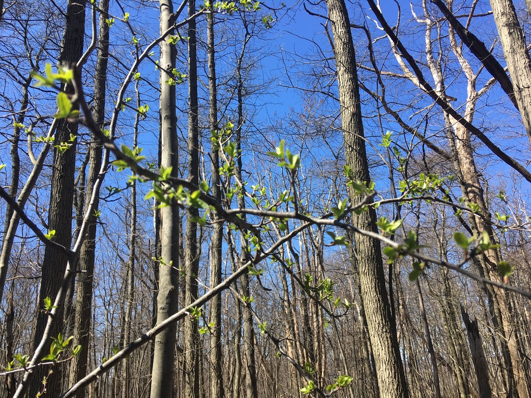
0 Comments
Leave a Reply. |
About Me
Archives
July 2020
Categories |
 RSS Feed