|
T+39 (July 7, 2020)
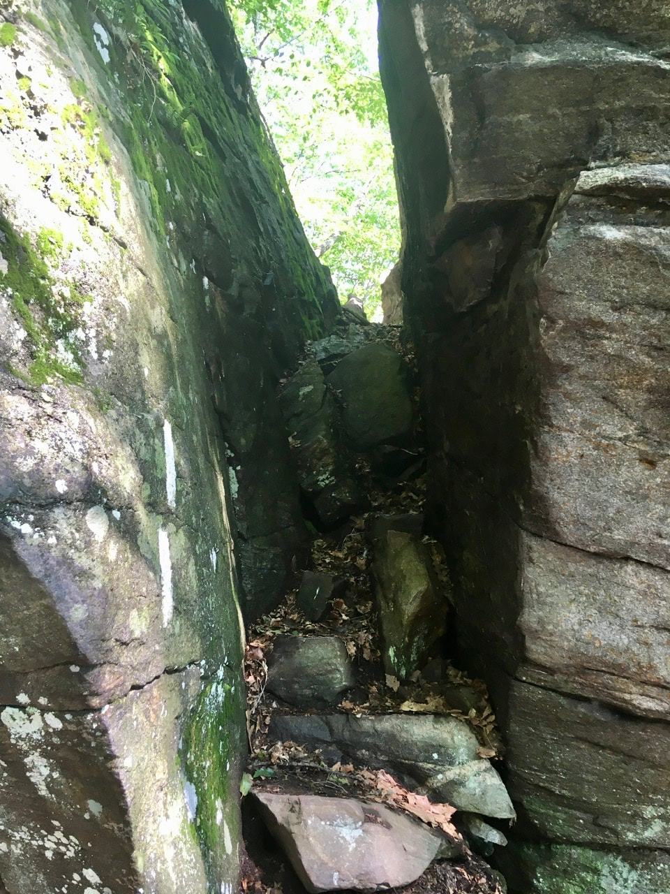
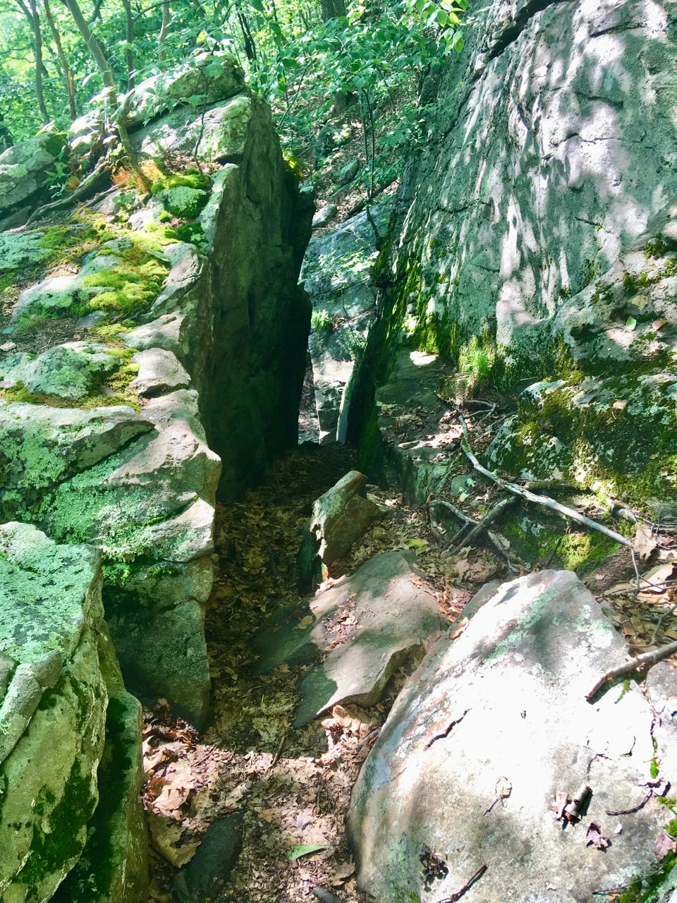
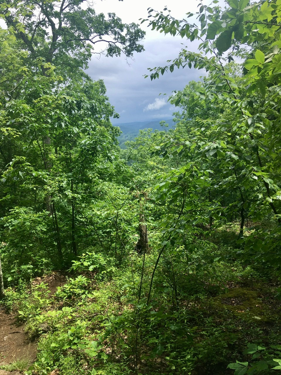
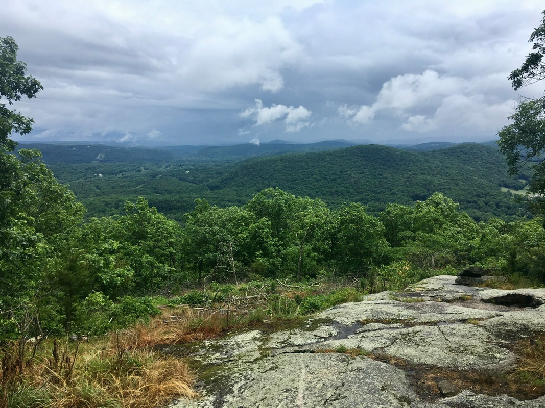
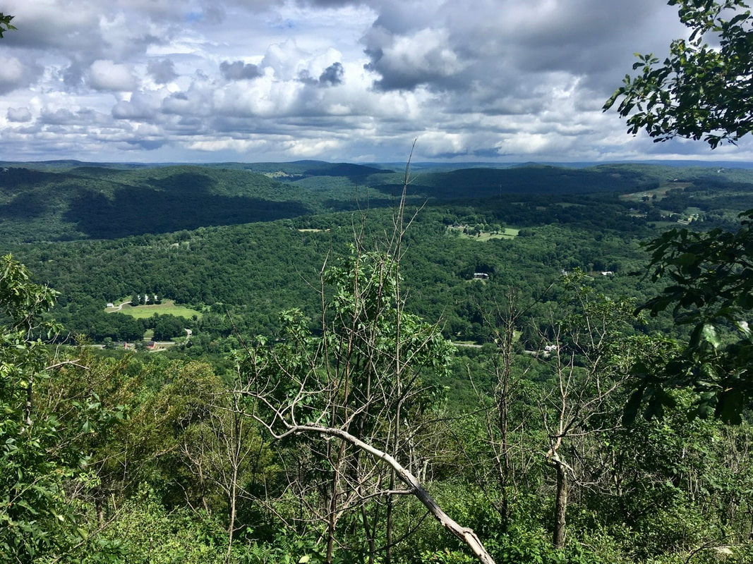
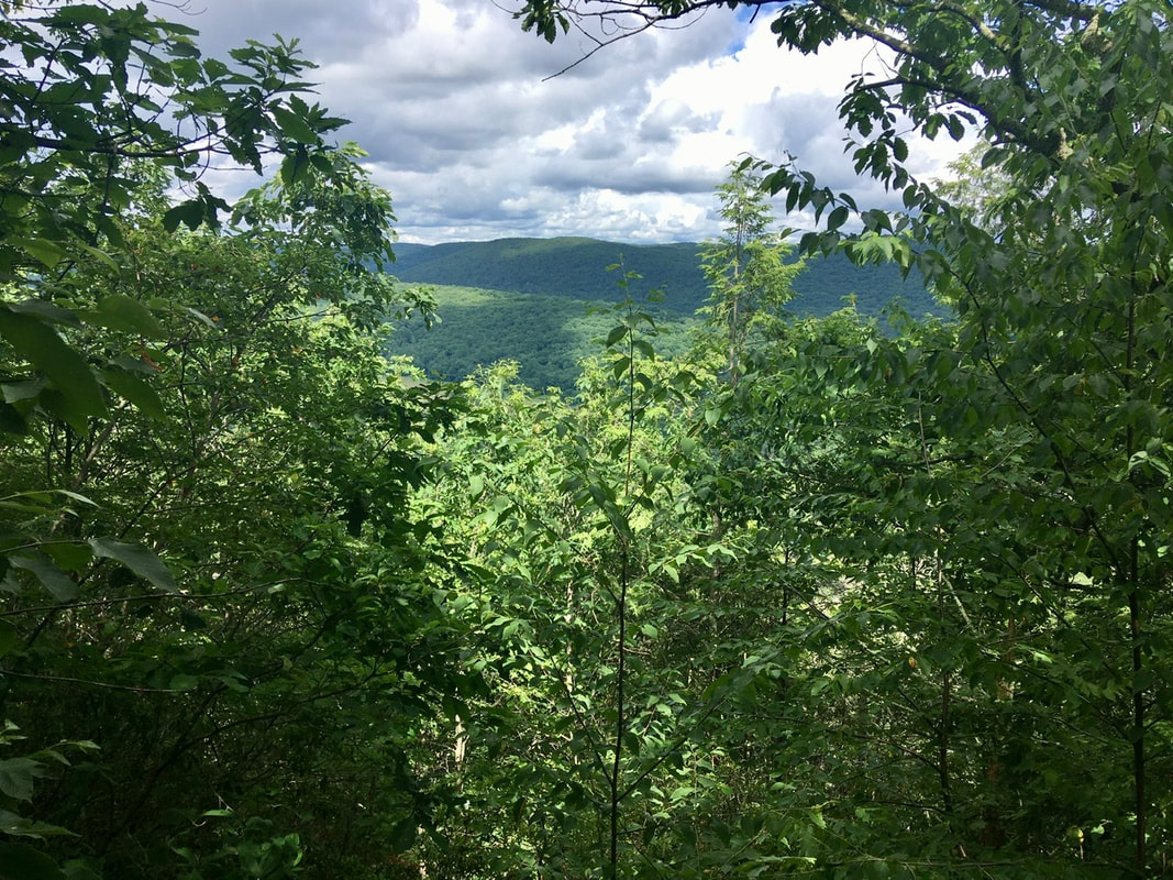
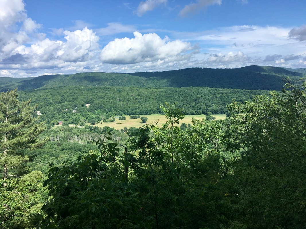
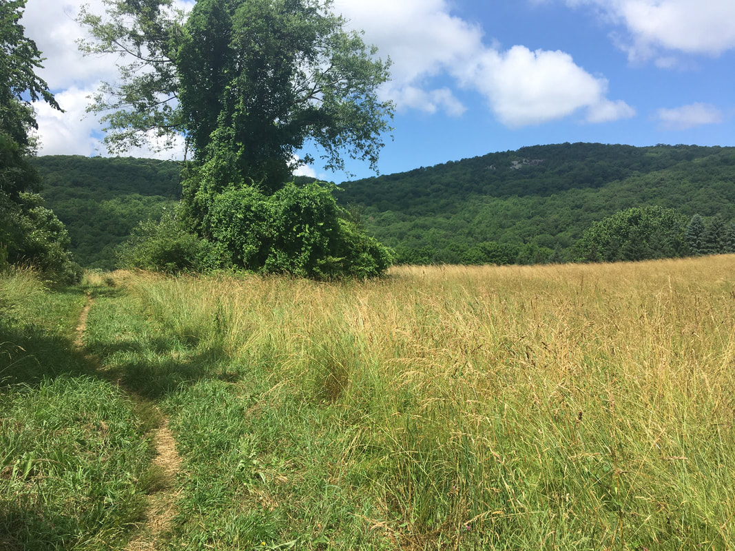
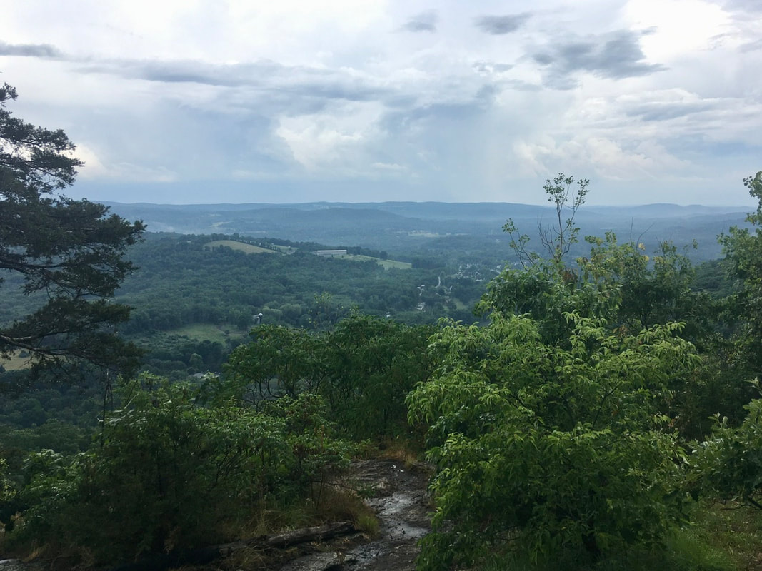
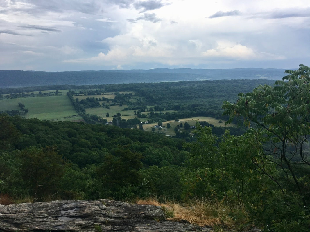
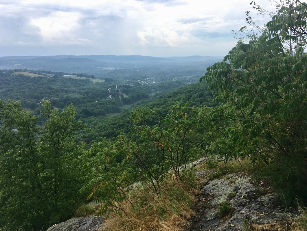
Navigation Report: Start point: Berkshire South Regional Community Center (mile 1523.8) Target Destination: North Mt. Wilcox Shelter (mile 1537.3) Travel Log: 7:00 Break Camp (mile 1523.8) 8:15 Back on AT (mile 1523.8) 8:45 Boardman St. (mile 1525.1) 10:05 Ledges (mile 1527.6) 1:40 MA Route 23 2:45 Blue Hill Rd. (mile 1533.5) 3:30 The Ledges (mile 1534.8) 4:40 Pond (mile 1536.6) 5:20 North Mt. Wilcox Shelter (mile 1537.3) Daily Mileage = 13.5 Total Mileage = 388.1
1 Comment
T+38 (July 6, 2020)
Navigation Report: Start Point: Sage's Ravine Campground (mile 1509.2) Target Destination: Stealth camp after US Rt 7 (mile 1523.8) Travel Log: 7:20 Break Camp 7:45 Posted CT / MA border (mile 1509.9) 8:10 Laurel Ridge Campsite (mile 1510.9) 8:20 Mini view point (mile 1511.2) 8:50 Mt. Race Ledges (mile 1512.2) 9:30 Mt. Race (mile 1512.9) 10:10 Race Brook Falls Campsite (mile 1513.8) 10:20 Yellow Patches 11:10 Mt. Everett (mile 1514.7) 11:40 Mt. Everett Road (mile 1515.3) 12:30 Glenn Brook Shelter (mile 1515.9) 1:10 View (mile 1517.1) 1:20 Mt. Bushnell (mile 1517.5) 2:45 Jog End (mile 1518.6) 3:30 Pastures (1519.9) 4:40 Sheffield-Egremont Rd. (mile 1522.0) 4:45-5:00 Field (mile 1522.1) 5:35 US Route 7 [TRAIL MAGIC] (mile 1523.8) 6:30 Berkshire South Regional Community Center (mile 1523.8) Daily Mileage = 14.6 Total Mileage = 374.6* *My numbers got off in the diaries / blogs as I wasn’t cross referencing with my spreadsheet. The previous days’ numbers deviated by a couple miles. This is corrected here. T+37 (July 5, 2020)
Navigation Report: Start Point: Brassie Brook Shelter (mile 1507.0) Target Destination: Glen Brook Shelter (mile 1515.9) Travel Log: 11:00 Break Camp (mile 1507.0) 11:50 Riga Junction (mile 1507.6) 12:00-12:20 Bear Mountain [CT's high point] (mile 1508.4) 12:55 CT / MA border (mile 1508.9) 1:10 Sage's Ravine Camp (mile 1509.3) Daily Mileage = 2.3 Total Mileage = 355 T+35 (July 3, 2020)
Navigation Report: Start point: Pine Brook Swamp Shelter (mile 1487.1) Destination: Limestone Spring Shelter (mile 1498.4) Travel Log: 9:30 Pine Brook Swamp Shelter (mile 1487.1) 11:25 Sharon Mountain Campsite (mile 1489.6) 11:45 Hang Glider View (mile 1490.4) 1:25 Belter's Camp & Bump (mile 1492.1) 11:50 US Route 7 (mile 1492.8) 2:20 Housatonic River (mile 1493.3) 2:50 Dry Stream (mile 1494.4) 3:05 Field (mile 1494.9) 4:20 Mt. Prospect (mile 1497.7) 4:50 Limestone Spring Shelter (mile 1498.4) Daily Mileage: 11.3 Total Mileage: 344.1 T+36 (July 4, 2020)
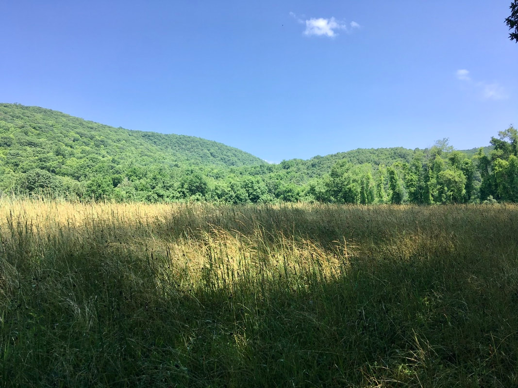
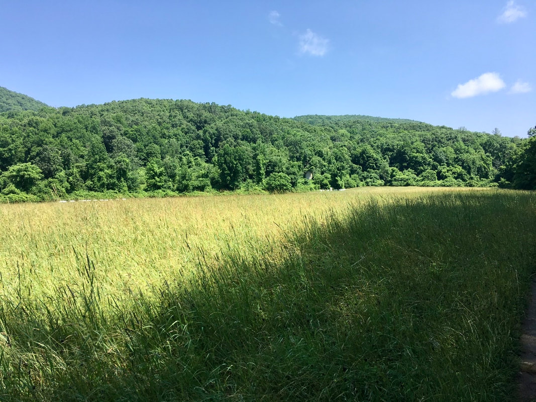
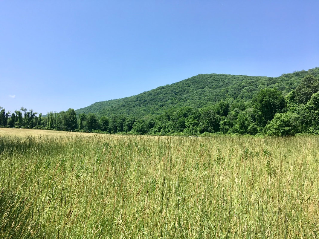
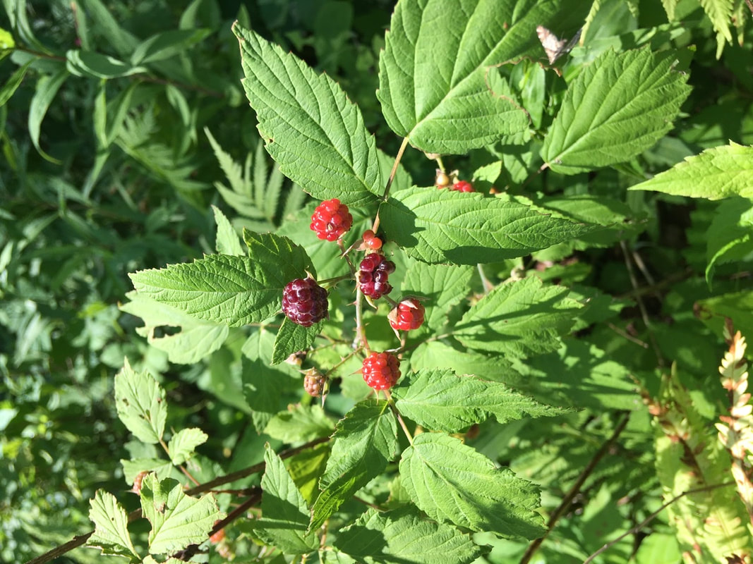
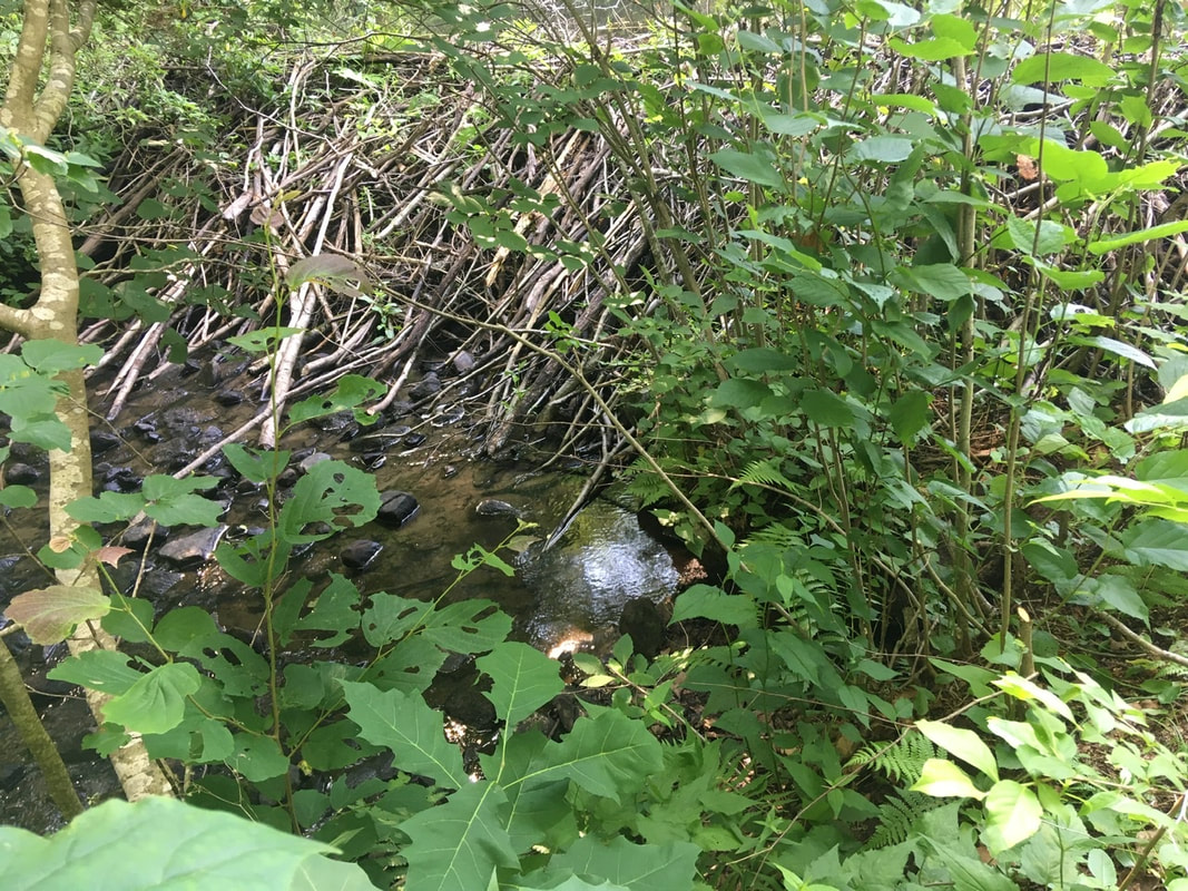
Navigation Report: Start Point: Limestone Spring Shelter (mile 1498.4) Target Destination: One of either of the following: 1) Riga Shelter (mile 1505.8) 2) Ball Brook Camp (mile 1506.4) 3) Brassie Brook Sheller (mile 1507.0) 4) Sages Ravine Camp (mile 1509.2) Travel Log: 11:15 Break Camp 11:30 Rejoin AT (mile 1498.4) MISSED Giant's Thumb (mile 1499.0) 12:05 Billy's View (mile 1499.4) 1:20 US Route 44 (mile 1501.9) 1:30-4:20 Resupply in Salisbury 4:35 Rejoin AT 5:25-5:35 Stream [water resupply] (mile 1504.1) 6:00 Lion's Head (mile 1505.0) 6:10 Ledges (mile 1505.2) 7:00 Brassie Brook Shelter (mile 1507.0) Daily Mileage: 8.6 Total Mileage: 352.7 T+34 (July 2, 2020) Navigation Report: Start Point: Hollow Brook Shelter (mile 1477.1) Destination: Pine Brook Swamp Shelter (mile 1487.1) Travel Log: 10:25 Break camp 10:35 Stony Brook (mile 1477.5) 11:05 Field (mile 1478.3-1479.1) 12:05 Partial View (mile 1480.7) 12:15 Met day hikers completing CT section of AT 12:30 CT Route 4 (mile 1481.2) 12:35 Old Sharon Rd. (mile 1481.4) 12:55-1:35 Break (mile 1482.1) 2:15 View (mile 1482.9) 3:15-3:45 Break (mile 1484.9) 4:20 Cares Brook (mile 1485.9) 4:35 Split Boulder (mile 1486.3) 4:40 mini viewpoint (mile 1486.3) 5:15 Pine Swamp Brook Shelter (mile 1487.1) Daily Mileage = 10 Total Mileage = 332.8 Commander’s Report: I shared the shelter area last night with a couple of females in their 20's. Due to the rain last night we didn't get to exchange pleasantries. I only saw them briefly in the morning. One of them I passed on the way into camp. They seem to know each other based on how chatty they are, but we never really had a true conversation before I broke camp and headed out. First up: a return to the Island. Unlike the town of the same name on the island, the name actually says what is in the tin. It's a brook that is stony. In this vicinity there was a good view of the Housatonic River, which the trail has been following for a bit now. Around 11AM I reached a point where the AT skirts a farmer's fields for about 3/4 of a mile. By now you should know how many pictures I can make of a nice field. Here's just a sampling of what was captured while traversing the field. At one location in the field I found a thicket of black raspberries. I REALLY wish the fruits were better developed. I would have had a nice addition to my diet today! But as they're not yet ripe I'll leave them for the next lucky hiker (or other hungry animal) to enjoy. About a mile north of the field there's a mini view through the trees. Certainly nothing spectacular, but a glimpse of the surroundings should always be savored when in the green tunnel. On the way down from the local maximum that produced the obstructed view, I passed a couple of section hikers out completing the CT section of the trail. One of the two ladies reminded me that we'd met before. It was on T+30. I briefly stopped to chat with them, but the conversation was interrupted by the dad who stayed at Telephone Pioneers Shelter with me. The thing that jogged my memory of the interaction was that one of the ladies has the same hiking poles as me. Shortly after that encounter, I arrived at the intersection with Old Sharon Rd. Now, I don't know why the muckety mucks in Connecticut have to go besmirching my aunt like that. Neither she, nor her older sister, is a day past middle age in my book. Also, this is probably not the glorious namesake that my aunt would want memorializing her, though it does come with a handy hiker compass. Somewhere near the intersection with Old Sharon Rd. I noticed this fine fun guy. For most interesting organisms I take the time to use the SEEK app to help me identify them on location. Unfortunately, there was no cell reception there, so identification waited until I'd reached camp. Only then did I discover that I'd passed up an opportunity to sample some Chicken of the Woods. Oh well, next time I'll know what I'm looking for and may cut off a portion. A mile and a half of climbing up from old Sharon Rd. and one is rewarded with a nice view point. In my book, a sea of trees >>>> no views after a climb. After three miles of mundane hiking, I reached Cares Brook. I must have missed in the guide that this is the outflow from a beaver pond. (It didn't say anything about this...) I had hoped to fill up my water bottles here, but I noped out of that (as the kids say). Unfortunately, beaver dams are hard to photograph. It's really hard to convey scale in the pics. This one was about 20 feet wide and a boot 4' tall, which means that it is thick to be able to withstand the force of all that water. A beautiful piece of engineering! About a half mile north of the beavers, the trail goes in between a boulder that's split down the middle. The guide said hikers may have to take their packs off to go through, but I had no problem getting through whatsoever. Immediately after that is a decent little view. Always nice to end the day with a view! That brought me to Pine Swamp Brook Shelter around 5:15. I was the first one there, so chose the teat site furthest away from everything. While setting up several other hikers had stopped in to camp. I met them on my way through to filter some water. It was the two young women from this morning (they did say their trail names, but I've forgotten them) and a guy, Waldo. Apparently, the women have been traveling together for about 1000 miles and around when they started hiking together was the last time they'd seen Waldo. But, they finally caught up to him all this time later. T+33 (July 1, 2020)
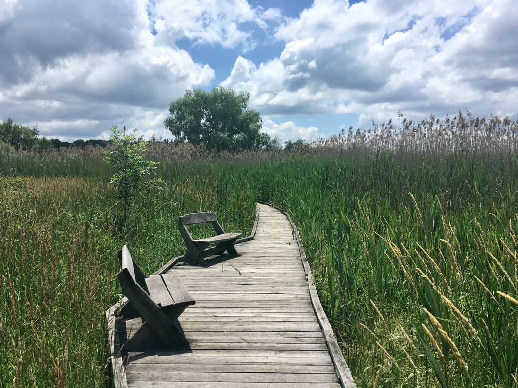
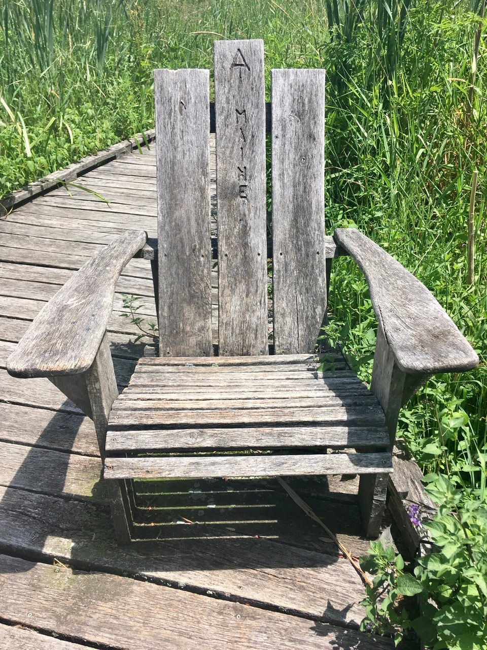
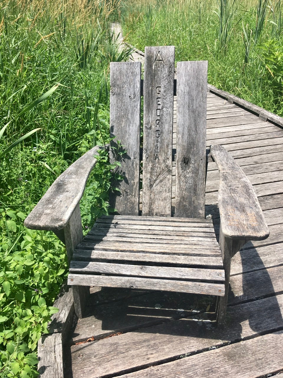
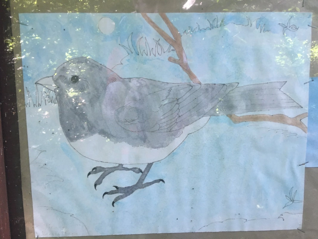
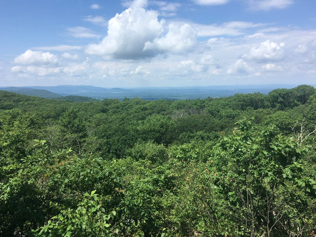
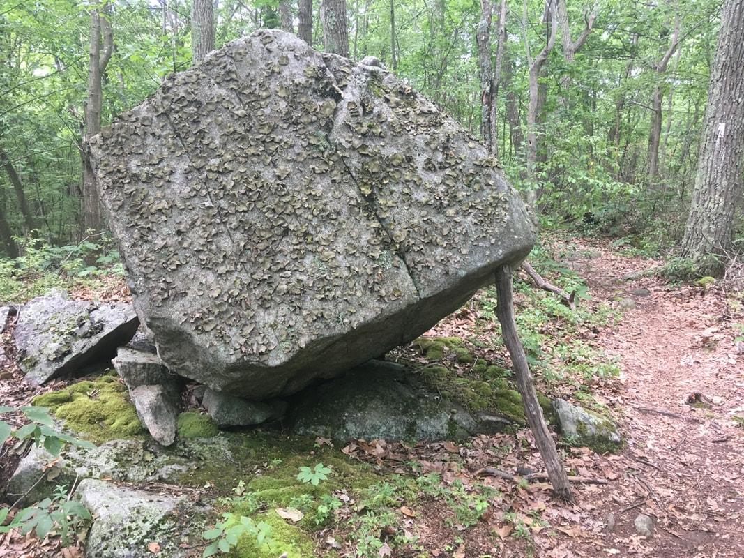
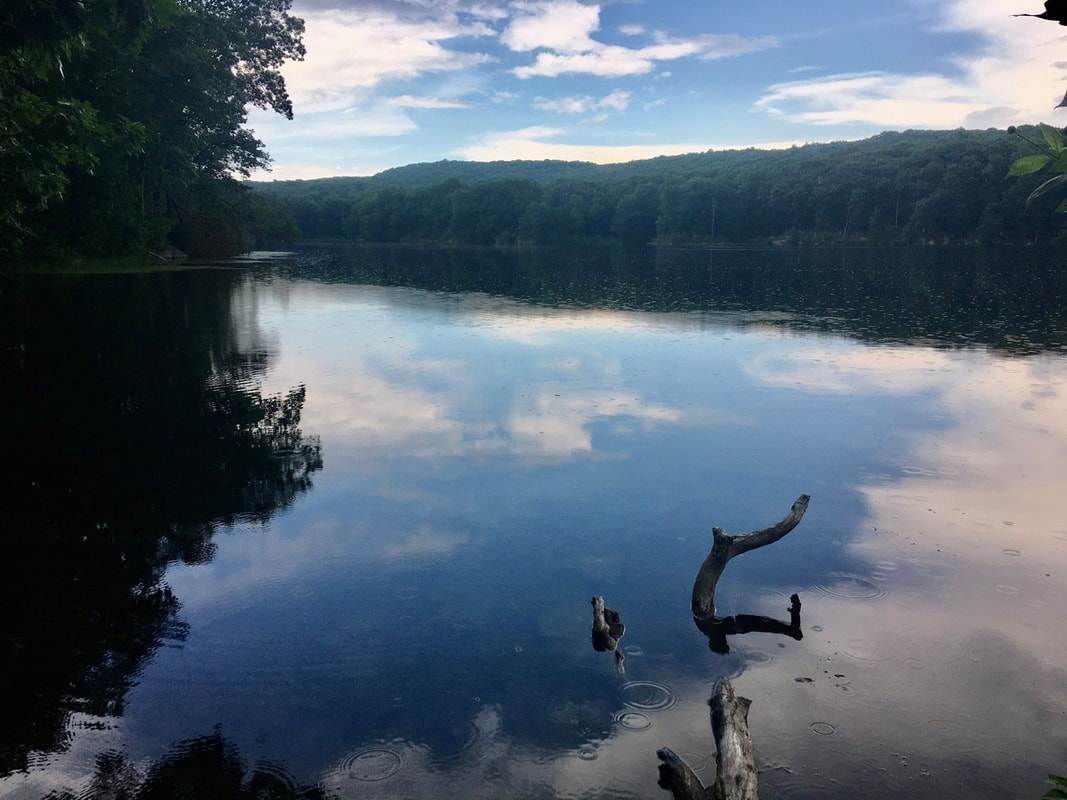
Navigation Report: Start point: Mt. Algo Shelter (mile 1469.8) Destination: Undetermined. Hoping for Stewart Hollow Brook Shelter (mile 1477.1). If stuck in town too late Mt. Algo Shelter (mile 1469.8). Travel log: 8:00 Break Camp (mile 1469.8) 8:15 Macedonia Rd. (mile 1470.1) 8:45 Kent, CT 3:30 Back on AT (mile 1470.1) 4:00 View (mile 1471.0) 5:40 Caleb's Peak (mile 1473.6) Gilo St. John's (edges (mile 1474.2) 7:30 Stewart Hollow Brook Shelter (mile 1477.1) Daily Mileage = 7.3 Total Mileage = 322.8 T+32 (June 30, 2020) Navigation Report: Start Point: Ten Mile Shelter (mile 1461.4) Target Destination: Mt. Algo Shelter (mile 1469.8) Travel Log: 11:45 Break camp 12:20 Woods Rd. (mile 1462.3) 12:30 Bolls Bridge Rd. (mile 1462.7) 12:45-1:10 Break (mile 1463.3) 1:45 View (mile 1464.6) 2:50 Indian Rocks Outlook (mile 1466.4) 3:15 View (mile 1466.8) 3:20 Schaghticoke Mountain Camp (mile 1466.9) 4:10 View (mile 1467.5) 5:30 Mt. Algo shelter (mile 1469.8) Daily Mileage = 8.4 Total Mileage = 315.5 Commander’s Report: I stayed late in camp this morning in order to get some self-care in. Specifically, my boots are about toast and they're causing blistering everywhere. I have 4 blisters on toes (shown here) and two hot spots high on my ankles (from lacing my boots around the back of my ankles. Basically, what's going on is that the soles and leather upper parts of the boots are beginning to separate. This means there's more lateral movement any time I step on ground that's uneven in the left fright axis. More movement = more friction = more blisters. For blisters, I've been simply covering them (or hot spots) with KT tape. This has worked well so far for me. I love the longevity of the adhesive and that you can hardly feel the bandages. Also, it seems pretty effective at halting the blisters from growing larger and cooling off hot spots. Immediately after breaking damp, I crossed Ten Mile River on the Ned Anderson Memorial Bridge. Fun piece of engineering for a pedestrian bridge out in the middle of nowhere! It wasn't until over 3 miles in that I came to anything worth taking a picture of: a view. Now, I may have been a bit deprived at the moment because this is what I thought the guide meant by view. (It has done so before. Once bitten, twice shy.) If I'd just waited a minute I'd have found this "real" view to capture in picture. A little under 2 miles north of that view is the Indian Rocks Outlook. This also has some nice views! Just after the Rocks is another view. This one is more obscured though. In between the last two views of the day I spotted these weird growths on the leaves of an American Witch Hazel plant. Each of these is caused by a single aphid, Which secretes growth hormones that stimulate this gall formation. In early / mid summer the offspring of the original aphid emerge and leave the gall empty. Interestingly, the aphids then go live on birch trees before returning to Witch Hazel after several generations of living on birch. Description from: https://entomology.ca.uky.edu/ef403 (ht: @pnmshah) About a mile and a half south of Mt. Algo Shelter is a view that is tops for the day in terms of quality of view. I made it to Mt. Algo Shelter around 5:30. That gave me plenty of time to do both the normal evening chores and additionally plan a resupply trip into Kent, CT tomorrow. I've picked this town as it supposedly has an outfitter [Ed. note: permanently closed] and a shoe store. I'd love to get new boots (or maybe trail runners) and a new gas canister for cooking as mine may be getting low (or at least I'd like to have backup when that giant monster finally does run out). T+31 (June 29, 2020) Navigation Report: Start point: Telephone Pioneers Shelter (mile 1448.6) Destination: 10 Mile Shelter (mile 1461.4) Travel Log: 11:00 Break Camp (mile 1448.6) 11:50 View (mile 1449.7) 12:30 Pastures (mile 1450.1) 12:45 Met owner of field @ mile 1452.0 2:30 NY Route 22 (mile 1454.7) 2:45 Break (mile 1455.2) 3:30 Leather Hill Rd. (mile 1457.0) 3:45 Wiley Shelter (mile 1457.4) 6:30 Ten Mile Shelter (mile 1461.4) Daily Mileage = 12.8 Total Mileage = 307.1 Commander’s Report: Broke camp late again today. This time it was because I stayed to chat with my campsite mates from last night, Melissa and Dmitry. They are college friends reconnecting on the trail after not having seen each other for quite a while. They were also a Hoot! Had a great time chatting with them and hope they both follow through with their threats to get back out on the trail this year! The "morning's" hike brings me down off the mountain and into a valley where the AT cuts around and through farmers' fields. It made for some fantastic pictures, but I'm biased. I've always loved the contrast of a worked field to the woods surrounding it. Here's a sampling from the first pastures that the AT took me through. After the pastures, the trail traverses some marshy ground - cutting through a stand of reeds. Be careful, those things can leave paper cut type wounds, yes even in that little crevice where your nose meets your lip / cheek. (This is the voice of experience. I don't recommend trying this "at home”.) I really loved the area around mile 1449.7. The trail follows a narrow corridor in between scrub land, with views of the hills / mountains in the background. Fantastic! Around 12:30 I walked through what the guide calls "pastures" but is really overgrown marginal wetlands. The trail consists of an elevated walkway for large portions of this section. I really liked these Adirondack style chairs, clearly labeled to indicate to hikers which way they are headed. Just after these "pastures" is the Appalachian Trail MTA stop. I fear I will have to walk all the way back from Maine to here in order to get back to Long Island. About a mile north, the trail crosses Hurds Corner Road and enters into actively farmed land. As I was crossing the road I noticed a farmer driving a tractor in my direction. I waited to enter the field until he passed. On his way by, he indicated that it was his lands I was about to traverse. I hollered "thank you" but don't know if he could make it out over the ruckus of the tractor. There were some really nice views from this farmer's fields. Plus, he has an old school water "tower" on the highest point of the land, which I feel enhances the aesthetic appeal greatly. In one of his fields I caught two silver-spotted skippers... erm... conjugating. I'd never seen that type of butterfly before. Considering the silver spot on the wings is so eye catching I'd venture the guess that they aren't so numerous where I grew up. Most of the rest of the day's hike was largely without landmarks. With one small exception: So long NY, hello CT! Also, about a mile south of Ten Mile Shelter is Ten Mile Hill. It has a micro view, but I figured I would share. I arrived at the Ten Mile campsite around 6:30. Before setting up my tent, I checked the two rivers surrounding me and the campsite (Ten Mile River and the Housatonic River). To my surprise I found a family of what I believe to be Common Merganser chilling on a rock. My presence disturbed them, so mommy departed with babies in tow. Wish the pic was higher resolution, but they just didn’t want to come pose for pictures. When I went out put the food in the bear box I was absolutely overwhelmed by the number of fireflies surrounding me! No lie I stood in an opening between the camping area and the privy for about an hour watching them. It was a really amazing experience! T+30 (June 28, 2020) Navigation Report: Start Point: Stealth tent site @ NY Route 52 (mile 1436.9) Destination: Telephone Pioneers Shelter (mile 1448.6) Travel Log: 10:00 Break Camp (mile 1436.9) 10:25 Field (mile 1437.7) 10:30 Largest Oak on AT 10:40 I-84 (mile 1438.3) 11:10 Eastern Newt (mile 1439.5) 11:40-11:50 View (mile 1440.5) 12:05-12:40 Morgan Stewart Shelter (mile 1440.8) 1:10 Depot Hill Rd. (mile 1441.9) 3:00 Stream (mile 1445.3) 4:15 View (mile 1448.2) 4:30 Telephone Pioneers Shelter (mile 1448.6) Daily Mileage: 11.7 Total Mileage: 294.3 Commander’s Report: I actually thought I was going to make it out of camp early today. HAHA joke's on me! It seems like every morning goes something like: 5:30 "It's too early to get up" 5:40 Grabs trowel and TP. Runs off into woods. 6:00 Starts heating up water for tea and food. 6:05 Starts working on blog posts 6:40 starts eating 8:15 “HOLY $#!@, IT’S 8:15!” Starts disassembling camp. 9:30 “Alright, just this one last thing to do.” 10:00 Leaves camp after doing 15 other things in addition to that one thing. Anyway, after departing I found Trail Magic at the trail head on the other side of the road. Someone had left two boxes of Nokia "super food" smoothies for the hikers. I'm 90% certain that I grabbed the last one. Consumed it around lunch time: it was just ok. It had a bit of an unappealing texture to me, but otherwise it tasted pretty good. Happy to add in some variety out here, but I don’t see myself picking these up for myself in the future. The trailhead also had a really nice public art display. A group of 8 paintings made by 6th grade students at La Grange Middle School. Kudos to those students, their art is better than mine! Also, kudos to the adults who organized that, I really enjoyed it. Less than a mile after where I started, the AT is said to pass through a field. It may once have been a field, but I'd say it no longer qualifies as one. Just a bit after the "field" is the largest oak tree on the Appalachian Trail. It is over 6 feet in diameter and is believed to be over 300 years old. My hiking poles are in front of it, for reference. Right after all that, I crossed I-84 and I remembered to take photographic evidence. About a mile after I-84 I noticed this little Eastern Newt on the trail. I just had to take a picture of it. Funny thing is that I always thought it was a type of salamander growing up. Glad I now know the truth. I met about a dozen of these little guys today, most after the rain. A mile after the newt is a view point with views off to the South. Seen worse views in New York! Just a bit after that view is the Morgan Stewart Shelter. I stopped in to refill my water. The water source for this shelter is a well, apparently with cast iron components. The water tastes like licking a rusty nail, but a bad taste won't hurt me. A mile north of the shelter the trail crosses Depot Hill Rd. On either side of the road these signs were installed. I really like the wooden / homemade feel of most everything surrounding the trail. Randomly, some joker propped this boulder up with a stick. I just had to take a picture of that! Right around this point, the weather started getting quite threatening. Sure enough, about a half hour later it started raining. I donned my rain gear on the shore of Nuclear Lake. If you look closely, you can see the rain in the water's reflections. The final attraction of the day was a nice viewpoint that I reached just after the rain had died down. Best viewpoint today, so let's share a couple of pics. The shelter is less than a half mile away from the viewpoint. It's going to be a busy are there tonight. A guy, who I had passed a couple times today, was there. He is meeting his thru-hiker son and his son's "tramily" at the shelter tonight. There's supposed to be 7 of that crew in total. So, I bailed and went back to the tent site about 0.2 miles south. Worth it for the quiet alone, but all the sites at the shelter are on weird angled ground, whereas the tent only location had really flat tent sites. Double whammy for the shelter.
Back at the tent sites, I met two hikers that I had passed during the rain. They are also planning on staying at the tent sites. They seem like they’ll be better company than a group of young adults. |
About Me
Archives
July 2020
Categories |
Site powered by Weebly. Managed by Hostgator
























 RSS Feed